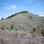
Peak 9660 by Livingston Douglas

This peak is not in the book. Published November 2024 Peak 9660 is a rocky, intimidating peak that sits at the confluence of the West Fork Pahsimeroi River and the East Fork Pahsimeroi River. It is one of several foothills on the north side of the Lost River Range. The east face of Peak 9660 is very rugged. The peak … Continue reading

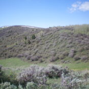
Burnt Creek WSA HP by Livingston Douglas

This peak is not in the book. Published November 2024 Burnt Creek WSA HP is an overlooked, ranked ridge hump that sits north of [the more impressive] East Burnt Peak (10,149 feet). It can be climbed either individually from East Fork Burnt Creek or in combination with nearby East Burnt Peak via an easy ridge traverse. USGS Burnt Creek Access … Continue reading

Rock of Ages by Livingston Douglas

This formation is not in the book. The BGN page for this feature classifies it as “pillar” but has no information about its naming history. Published November 2024 Rock of Ages is an impressive rocky protrusion that sits due east of Burnt Creek Road near the fork in the canyon. It is most easily climbed from Burnt Creek Road. Based … Continue reading

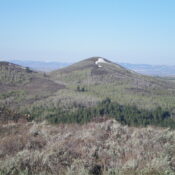
Peak 9513 by Livingston Douglas

This peak is not in the book. Published November 2024 Peak 9513 is the southernmost of three ranked summits (Peak 9287, Peak 9597, and Peak 9513) that sit on a high ridge that separates Burnt Creek from the Pahsimeroi River. It is most easily climbed from Burnt Creek Road to its east. USGS Burnt Creek Access Burnt Creek Road (BLM-140) … Continue reading

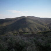
Peak 9597 by Livingston Douglas

This peak is not in the book. Published November 2024 Peak 9597 is the middle of three peaks (Peak 9287, Peak 9597, and Peak 9513) that sit on a high ridgeline that separates Burnt Creek from the Pahsimeroi River in the Lost River Range. It is most easily climbed in combination with Peak 9287 to its north from Burnt Creek … Continue reading

Peak 9287 by Livingston Douglas

This peak is not in the book. Published November 2024 Peak 9287 is located west of Donkey Hills HP and east of Burnt Creek. It is most easily climbed from Donkey Hills Road to its west. This area is a mix of private and public land, so be careful. This climb is entirely on BLM land. USGS Burnt Creek Access … Continue reading