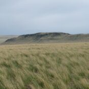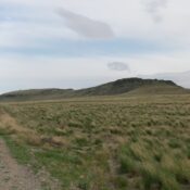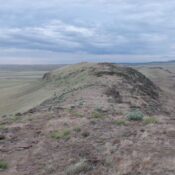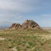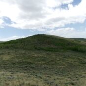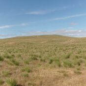
Devil Creek Butte by Livingston Douglas

This butte is not in the book. Published October 2025 Devil Creek Butte is a rather indistinct grassy hump that is located on the east side of Tuanna Road and just west of Devil Creek in a remote area of the Snake River Plain. USGS Tuanna Butte Access From Buhl, Idaho, follow US-30 south as it weaves its way to … Continue reading

Castleford Butte by Livingston Douglas

This butte is not in the book. Published October 2025 Despite having a small hamlet and USGS quadrangle named for it, Castleford Butte is a very indistinct butte that is located southwest of Balanced Rock and due west of Salmon Falls Creek in Twin Falls County. USGS Castleford Butte Access From Buhl, Idaho, follow US-30 south as it weaves its … Continue reading

Balanced Rock by Livingston Douglas

This formation is not in the book. Published October 2025 Balanced Rock is an overhanging, stunning sight to see. I’m not sure that it’s ever been climbed. Balanced Rock is located in the Balanced Rock County Park and is just west of Salmon Falls Creek. There is a picnic area and pullout along Balanced Rock Road a short distance underneath … Continue reading

Sunset Butte by Livingston Douglas

This butte is not in the book. Published October 2025 Sunset Butte is an antenna-clad, pyramidal butte that is located southwest of Buhl, Idaho. It separates Deep Creek from Salmon Falls Creek. Regrettably, Sunset Butte sits on posted, private land that is closed to the public. USGS Balanced Rock     … Continue reading

McKinney Butte by Livingston Douglas

This butte is not in the book. Published October 2025 McKinney Butte is located northwest of Gooding in a remote section of the Snake River Plain. It is most easily reached via maintained county roads from ID-46 to the east. USGS McKinney Butte Access From the intersection of ID-46 and US-26 at a traffic light in downtown Gooding, drive north … Continue reading

Shoshone WSA HP by Livingston Douglas

This butte is not in the book. Published October 2025 Shoshone WSA HP is a rather indistinct hump with lots of tedious lava rock and thick sagebrush. It is located north of Shoshone and is entirely on BLM land. USGS Shoshone Access From ID-75 in Shoshone, turn left/west onto [signed] West 7thStreet. Drive 0.5 miles west to its end at … Continue reading