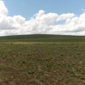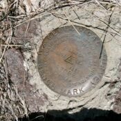
This peak is not in the book. Published October 2025 The Big Hill is more of a “big ridge” than a hill. Indeed, the USGS benchmark atop Big Hill is “Ridge.” Go figure. Thanks to a decent 2-track road coming up from well-maintained Crows Nest Road, this peak is a drive-up. USGS Notch Butte Access Crows Nest Road (a well-maintained … Continue reading