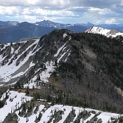
Peak 7740

Looking across the summit toward the high point from the east.

This peak is not in the book. Published June 2018 Peak 7740 is dwarfed by surrounding Log Mountain Deadwood Divide peaks but is still a great vantage point from which to view the immediate country. Unfortunately, the area around the peak is burned and there is a lot of downed timber to cross. USGS Landmark Access Access the peak from … Continue reading
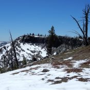
Peak 8569

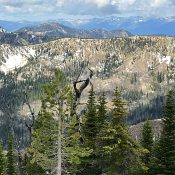
Peak 8569 viewed from the east.

This peak is not in the book. In 2018, John Platt led a group across the ridge. Read his trip report at this link: Profile Loop 2018. The next peak along the ridge is Parks Peak. Published June 2018 Peak 8569 is located a little more than a mile east of Parks Peak on the Profile Gap/Parks Peak Ridge. This … Continue reading

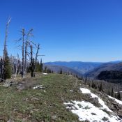
Peak 8608

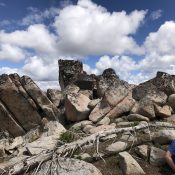
The summit of Peak 8608.

This peak is not in the book. In 2018, John Platt led a group across the ridge. Read his trip report at this link: Profile Loop 2018. The next peak along the ridge is Peak 8615. Published June 2018 Peak 8608 is located about 1.5 miles WSW of Profile Peak on the Profile Gap/Parks Peak Ridge. This peak’s granite-encrusted summit … Continue reading

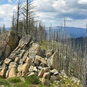
Peak 8615

Peak 8615 viewed from Peak 8608.

This peak is not in the book. In 2018 John Platt led a group across the ridge. Read his trip report at this link: Profile Loop 2018. The next peak along the ridge is Peak 8615. Published June 2018 Peak 8615 is located about a mile west of Profile Peak on the Profile Gap/Parks Peak Ridge. Peak 8608 is the … Continue reading

Lava Ridge

The summit of Lava Ridge. John Platt Photo

This peak is not in the book. Published June 2018 Lava Ridge is located northeast of Big Hazard Lake. The highest point on the ridge is situated at the South End and not at the North End where the USGS benchmark is located. John Platt climbed this peak by making a long ridge walk loop. USGS Black Tip Access Lava … Continue reading

Peak 7719

The sumit of Peak 7719. John Platt Photo

This peak is not in the book. Peak 7719 is located due east of Hard Butte. The summit has great views. Use the link below to see John Platt’s photos of the expansive country surrounding this peak. USGS Patrick Butte Access This peak is easily accessed from the Clayburn trailhead which is located at the end of FS-257 [(B)(1) on … Continue reading