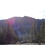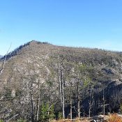
This peak is not in the book. Mac Han Peak is located east of Bruin Mountain. The peak is north of Black Tip Mountain to which it is connected by a long ridge. The shortest access is from Fisher Creek Saddle. Use the link below to read John Platt’s trip report. USGS Black Tip … Continue reading
Book Updates
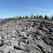
This peak is not in the book. Peak 8340 is located just southeast of Black Tip Mountain. Access for both peaks is from Fisher Creek Saddle, which is reached by a rough dirt road. The peak is a Class 2 hike from the saddle. USGS Black Tip … Continue reading
This peak is not in the book. Peak 8356 is another remote Lick Creek Range summit. It sits southeast of Lick Creek Summit and above remote and granite-clad Cly Basin. Use the link below to read John Platt’s trip report which includes his GPS track. USGS Box Lake … Continue reading
This peak is not in the book. Based on LiDAR measurements, this peak’s elevation is now 10,848 feet (USGS quadrangle measurement is 10,817 feet). Updated February 2024 Railroad Peak is, in reality, the high point of Railroad Ridge though LOJ considers it a separate peak that is NOT on Railroad Ridge (10,425 feet). Railroad Peak is one of two ranked … Continue reading
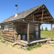
This peak is not in the book. Horse Heaven has a broad summit traversed by a trail and a cabin on its summit. Class 1 via the trail. Use the link below to read Tom Cox’s trip report which gives all the information that you need to reach the summit. USGS He Devil … Continue reading
Climbing and access information for this peak is on Page 95 of the book. The exact location of the highest point on Craig Mountain was revised based on recently-released LiDAR data. This page has been updated to reflect the change. See Livingston Douglas’ article A New High Point for Nez Perce County. Updated December 2023 Craig Mountain is the high … Continue reading