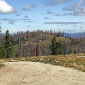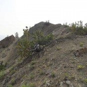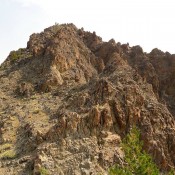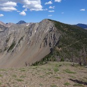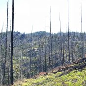
This peak is not in the book. Updated May 2018 Rattlesnake Point should have been in the book. It is one of those “under the radar” spots that I just missed. Its sits west of Deadwood Reservoir, east of Trail Creek Summit, and above the Middle Fork Payette River. There are many granite-infested drainages cutting this region with corresponding high … Continue reading
Book Updates
This peak is not in the book. Bog Benchmark is located south of Deadwood Reservoir. The peak has a long North/South summit ridge. The high point is crossed by the road that leads to Deadwood Lookout, which sits south of the main summit. To reach the summit, take the Deadwood Reservoir Road from Banks/Lowman Highway. This dirt road is usually … Continue reading
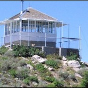
This peak is not in the book. Updated August 2019 Whitehawk Mountain is located north of Lowman, Idaho and west of Big Meadows. The peak has a fire lookout on the South End of its North-South summit ridge. The lookout has not been used since the Pioneer Fire burned much of the surrounding area. The view from the top is … Continue reading
This peak is not in the book. Dave Pahlas climbed this peak during his traverse of the long ridge that separates Germania Creek from Chamberlain Basin. His trip took him to the summits of West Chamberlain Peak, Jack Chamberlain Peak and East Chamberlain Peak. See his trip report for details. USGS Boulder Chain Lakes … Continue reading
This peak is not in the book. Jack Chamberlain Peak is located on a long East-West trending ridge on the South Side of Chamberlain Basin. West Chamberlain Peak is at the West End of the ridge and East Chamberlain Peak is at the East End. What I know of this peak is based on the explorations of Dave Pahlas. Dave … Continue reading
Climbing and access information for this peak is on Page 224 of the book. USGS Washington Peak … Continue reading