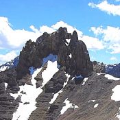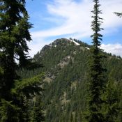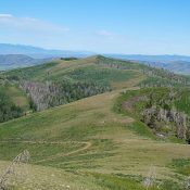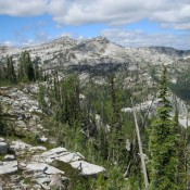
Lookout Mountain

Climbing and access information for this peak is on Page 60 of the book. The Forest Service states of this peak: “Part of the Marble Creek trail system. This trail has a gradual ascent to an abandoned lookout tower. However, much of the route is a fairly level grade atop a high ridge which provides the hiker with expansive views … Continue reading

Sunset Peak

This peak is not in the book. Sunset Peak is located west of the Idaho/Montana border between Canyon Creek to the south and Pritchard Creek to the north. The area between these two drainages saw extensive mineral exploration and logging operations. As a result, this area is penetrated by many roads. You can drive to the summit. The Forest Service … Continue reading

Granite Peak

Climbing and access information for this peak is on Page 84 of the book.  Here are improved directions to the peak’s trailhead: From Coeur d’Alene, drive east on I-90 approximately 50 miles to Wallace, Idaho. Take Exit 61. Drive north for 7.2 miles on FSR-456 to Dobson Pass. At the pass, turn right onto Sunset Peak Road. Travel east 4 … Continue reading

Arid Peak

This peak is not in the book. This information is from the Panhandle National Forest web site. Arid Peak Lookout is set on a 20 foot tower and overlooks the beautiful Loop Creek area and the scenic “Route of the Hiawatha rail-trail”. It is on the National Historic Register of Fire Lookouts. Getting to the lookout requires a moderate 3 … Continue reading

Gunsight Peak

Climbing and access information for this peak is on Pages 43-45 of the book. Check out the book for technical routes. Use the link below for the Hike North Idaho website and a recent trip report. USGS Mount Roothaan … Continue reading