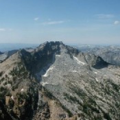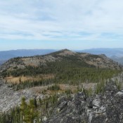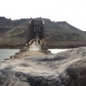
This peak is not in the book. Livingston Douglas contributed two additional photos to the initial entry. Updated November 2022 Guffey Butte is located along the the Snake River southwest of Kuna, Idaho. This small butte has excellent paved access. Search for Celebration Park on Google Maps for directions. There are exceptional views of the Owyhee Mountains and the Snake … Continue reading
Book Updates
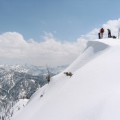
This peak is not in the book. Mount Zumwalt is located on the western fringe of the Sawtooth Range NNW of Grandjean. John Platt and two companions skied the peak’s Southwest Ridge from the point where Grandjean Road crosses the base of the ridge. This route will work for a Summer climb. The route is 11.0 miles round-trip with 4,300 … Continue reading
Climbing and access information for this peak is on Page 89 of the book. The updated information and links found below replaces the information in the book. The listed elevation is the highest point in Idaho County but is not the summit of this peak which sits entirely in Montana and reaches an elevation of 9,460 feet. The peak name … Continue reading
Climbing and access information for this peak is on Page 89 of the book. I do not have an update from the information on this peak that is in the book. It’s been on my list for a long time. Watchtower Peak is a remote summit located along the Idaho Montana border in very rugged country. My one attempt to … Continue reading
Climbing and access information for this peak is on Page 110 of the book. Updated October 2021 Hershey Point falls just shy of 300 feet of prominence but is, nevertheless, a worthwhile objective. USGS Hershey Point … Continue reading
Climbing and access information for this peak is on Page 323 of the book. Bull Peak is located roughly 1.4 miles NNW of Conical Top Peak. A 4WD road climbs almost to its summit on its South Slopes. Follow this road to reach the top. USGS Reservoir Creek Southeast Face/East Ridge, Class 2 Access Dry Creek Trail [(B)(6.3)(b) on Page … Continue reading