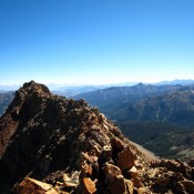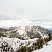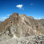
Climbing and access information for this peak is on Page 112 of the book. Updated January 2020 While not the most rugged Lick Creek Range summit, Storm Peak’s 1,400 feet of prominence ensures that its summit provides a great vantage point to survey this exceptional country. USGS Victor Peak … Continue reading
Book Updates
Climbing and access information for this peak is on Pages 360-361 of the book. For information on traversing Bonneville, Snow Peak and Haystack Mountain, click on this sentence. Livingston Douglas provides route information for climbing the peak via its north ridge. Updated November 2018 Snow Peak is located between Bonneville Peak and Haystack Mountain. If you follow the route described in … Continue reading
Climbing and access information for this peak is on Page 159 of the book. Observation Peak has a trail leading to its summit and great views of the neighboring Sawtooth peaks. In recent years, fires have burned its slopes and, although the hike is now hotter, the views are better. USGS Stanley Lake … Continue reading
Climbing and access information for this peak is on Page 117 of the book. Since my first ascent of Log Mountain in 1988, a lot of the forest on its West Side has burned. In 2013, I climbed the peak with John Platt and John Fadgen from the East. Shell Rock Peak is located just east of Log Mountain and … Continue reading
Climbing and access information for this peak is on Page 255 of the book. Updated November 2022 Mandolin Benchmark is the high point on a ridge crest that runs from Swede Peak to Peak 9043. It is most easily reached from the ridge crest trail (FST-327) that skirts the east side of Mandolin Benchmark. From the 8,780-foot shoulder crossing southeast … Continue reading
Climbing and access information for this peak (called Mount Ogre in the book) is on Page 100. Please note that more recent estimates put the elevation of The Ogre at 9,256 feet, a bit higher than the book’s figure. USGS He Devil … Continue reading