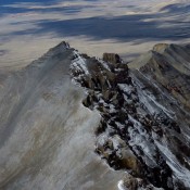
The Bighorn Crags are discussed on Pages 122-126 of the book and there is an access map on Page 143. The Bighorn Crags form a distinctive, high-granite divide more than 20 miles in length which towers nearly 1,000 feet above the surrounding mountains. The Bighorn Crags offer many excellent challenges to mountaineers and a surprising amount of good rock to … Continue reading
Book Updates
This peak is not in the book. The following information and photos were provided by Rick Baugher. USGS Methodist Creek … Continue reading
This peak is not in the book. Rick Baugher supplied the following information and photos. USGS Methodist Creek … Continue reading
Climbing and access information for this peak is on Page 286 of the book. In addition to the access information given by Livingston Douglas below, Derek Percoski has provided an alternative approach for this peak. See the Mount McCaleb page to read about this access route. Updated October 2018 Little Mac is an impressive peak, but this is not always obvious … Continue reading
Climbing and access information for this peak is on Page 60 of the book. When I hiked this peak in 1983, there was clear cutting in the vicinity. There are now developed mountain bike trails here. Use the link for the excellent Hiking from Here website below to find more recent information. USGS West Dennis … Continue reading
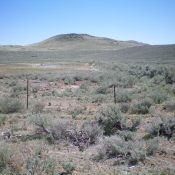
This peak is not in the book. Livingston Douglas provided the additional access and route information. Updated November 2021 Kinzie Butte is located on the Snake River Plain north of Shoshone, Idaho. I climbed to its summit one winter from US-93 by crossing sagebrush-covered BLM land. If you hike it early in the year, you may find a pond in … Continue reading