Climbing and access information for this peak is on pages 148-149 of the book. The USGS has identified a lower summit with only 64 feet of prominence just to the north as Granite Mountain. This page places the name on the higher point. Neither Peakbagger nor Lists of John follow this path. Updated November 2018 This peak and two lower … Continue reading
Book Updates
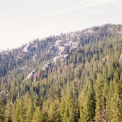
Climbing and access information for this peak is on Pages 116-117 of the book. Updated January 2020 Stolle Peak is a tree-covered summit located 6 miles SSW of Warm Lake and W of Stolle Meadows. From 1934 to 1950, it had a fire lookout. There was not much left of this structure when I visited the summit in 1988. There … Continue reading
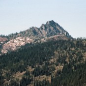
Climbing and access information for this peak is on Page 65 of the book. It takes a lot of effort to drive to the Selway Crags from just about any place. The access road alone has a record number of water bars to slow you down. The trails do not see much maintenance. The peaks do not rival the lofty … Continue reading
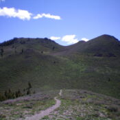
Climbing and access information for this peak is on Page 244 of the book. Updated November 2022 Proctor Mountain is located just northeast of Ketchum/Sun Valley in the foothills of the Pioneer Mountains. It sits above the Sun Valley Golf Course and Parker Gulch. An unranked summit, Proctor Mountain is a bump on the southwest ridge of nearby Morgan Ridge … Continue reading
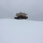
Climbing and access information for this peak is on Page 146 of the book. This peak is a popular ascent in the Winter for both skiers and snowshoers. The parking lot on ID-21 at Mores Creek Summit fills up quickly on Winter weekends and is also used by snowmobilers. Fortunately, the snowmobiles go north toward Pilot Peak for the most … Continue reading
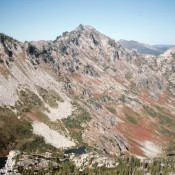
Climbing and access information for this peak is on Page 67 of the book. I had a question about the Jesse Pass Route. When I wrote the description found in the book I submitted the map I added below to supplement the written route description. I colored in the pencil line that I drew on the map the day I climbed … Continue reading