Perce Peak by Livingston Douglas

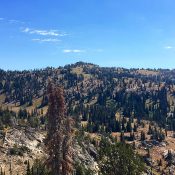
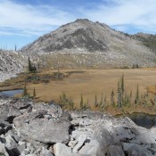
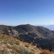
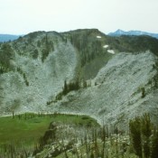
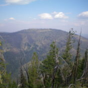
Climbing and access information for this peak is on Page 320 of the book. Please note that the book refers to the [lower] Perce Benchmark (8,266 feet). Updated November 2023 Perce Peak is located about six miles north of Big Hole Pass on the Continental Divide. Perce Benchmark is a short distance south of the true summit. USGS Big Hole … Continue reading

Granite Peak 8273

Climbing and access information for this peak is on Page 106 of the book. Granite Peak’s summit is a 2-minute walk from the Snowbank Mountain Road. It may be the easiest Class 2 peak to bag in Idaho. Follow the road to its high point on the peak’s South Slopes and park in the wide turnout. A use trail quickly … Continue reading

Sams Throne

Climbing and access information for this peak is on Pages 110-111 of the book. Sams Throne is an interesting and remote peak with good access. This area burned in the 1990s. Be sure to check out John Platt’s 2014 trip report for up-to-date conditions. USGS Hershey Point … Continue reading

Needles Peak

Needles Peak from the southwest. Three of the granite towers on this peak are visible in this photo. There are a large number of one and two pitch routes on these formation many of which were first climbed by Doug Colwell.

Climbing and access information for this peak is found on pages 115 to 116. Needles Peak in general is just a big rounded, tree-covered mountain. What makes it special are the granite spires festooning its summit. The highest of these towers forms the summit. This spire is Class 4 by its easiest route.  USGS Gold Fork Rock BE CAREFUL Since … Continue reading

Snowbank Mountain

Climbing and access information for this peak is on Page 106 of the book. The highest point in the West Mountains has a radar dome on its West Summit and additional electronics installations on its East Summit. It is difficult to tell that the East Summit is the high point. Both summits are reached by FSR-446 that is usually open … Continue reading

Lava Butte

Climbing and access information this peak is on Page 111 of the book. Lava Butte sits in the middle of an extensive area that burned in the early 1990s. Still, it is a worthy goal and a good vantage point to learn the terrain of the northeastern section of the Idaho Batholith and the Northeastern Salmon River Mountains. USGS Hershey … Continue reading