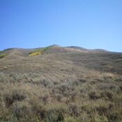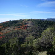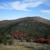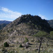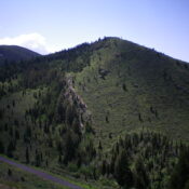
This peak is not in the book. Published November 2023 Peak 6857 is a forested hump that sits above the mouth of Trail Canyon northeast of Soda Springs. Its northwest side is on BLM land but is a thick, forested bushwhack. USGS Soda Springs Access From the junction of US-30 and ID-34 in Soda Springs, drive north on ID-34 for … Continue reading
Book Updates
This peak is not in the book. Published November 2023 Threemile Knoll is located on the west side of ID-34 just over three miles north of Soda Springs. It is most easily climbed via its south ridge from a roadside pullout along the highway just north of a large phosphate mining facility. USGS Soda Springs Access From the junction of … Continue reading
This peak is not in the book. Published November 2023 Slug Benchmark is the northernmost of several ranked peaks on lengthy Schmid Ridge in the Aspen Range. Thanks to the ACCESS YES program, this climb is publicly accessible on “Private Association” land. Slug Benchmark is most easily climbed from Slug Creek Road to its west. It has a repeater station … Continue reading
This peak is not in the book. This peak is in an area identified as the Fish Creek Range. It is a small subrange of the Portneuf Range. Published November 2023 Peak 6450 is a scrub hump that is located at the south end of the Fish Creek Range in eastern Idaho. To remain entirely on BLM land, it is … Continue reading
This peak is not in the book. This peak is in an area identified as the Fish Creek Range. It is a small subrange of the Portneuf Range. Published November 2023 Peak 6536 is a scrub hump that sits on the east side of Beaver Basin at the south end of the Fish Creek Range in Eastern Idaho. It is … Continue reading
This peak is not in the book. This peak is in an area identified as the Fish Creek Range. It is a small subrange of the Portneuf Range. Published November 2023 Peak 6575 is a rocky outcrop that is located southeast of Lava Hot Springs and north of Fish Creek Basin. Due to extensive private land in this area, it … Continue reading