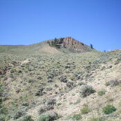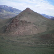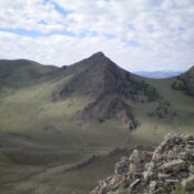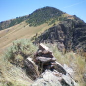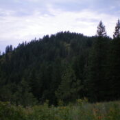
This peak is not in the book. Published November 2023 Carrill Peak sits on the south side of Carrill Creek and east of beautiful Coeur d’Alene Lake in the Coeur d’Alene Mountains. It is easily reached via a 2-mile foot trail that comes southwest from FSR-439. USGS Mount Coeur d’Alene Access From the south side of Exit 28 on I-90, … Continue reading
Book Updates
This peak is not in the book. Published November 2023 Red Horse Mountain sits south of Beauty Saddle and at the headwaters of Blue Lake Creek in the Coeur d’Alene Mountains. It is located southeast of Mount Coeur d’Alene. Red Horse Mountain has an ATV trail that leads to the summit from FSR-439. USGS Mount Coeur d’Alene Access From the … Continue reading
This peak is not in the book. Published November 2023 Peak 6380 is located just south of the confluence of the East Fork and Main Fork of the Salmon River. It is an easy scramble entirely on BLM land from East Fork Road. This area is a mix of private and public land, so be careful. USGS Ziegler Basin Access … Continue reading
This peak is not in the book. Published November 2023 Peak 6820 is a rocky, pyramidal hump that is located on the east side of ID-75 and the Salmon River. While the USGS topo map makes the high point appear as a pinnacle or rocky tower, it is not. A reasonable Class 3 scramble up the southeast face puts you … Continue reading
This peak is not in the book. Published November 2023 Peak 7183 is located on the east side of the Salmon River near the confluence of the East Fork and the Main Fork of the Salmon River. It is most easily climbed from ID-75 via a gully to its north. Both Peak 7183 and its sister peak to the north … Continue reading
This peak is not in the book. Updated December 2024 Nipple Benchmark is the high point on a long ridgeline that extends from the mouth of Dry Gulch northward to the south side of Hat Creek. The peak towers over the Salmon River to its east. Nipple Benchmark is a straightforward climb from Dry Gulch Road to its southwest via … Continue reading