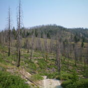
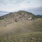
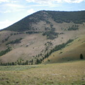
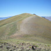
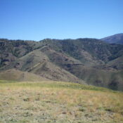
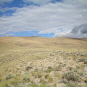
Peak 5820 by Livingston Douglas

This peak is not in the book. Published November 2023 Peak 5820 is a scrub hump that sits on the west side of Badger Basin in the Beaverhead Mountains northeast of Salmon, ID. It is easily reached via BLM-107 and an unofficial 2-track road up its southeast shoulder. USGS Badger Spring Gulch Access Same as for Peak 5792. This is … Continue reading

Peak 5792 by Livingston Douglas

This peak is not in the book. Published November 2023 Peak 5792 is a scrub hump that sits on the south side of Badger Basin in the Beaverhead Mountains northeast of Salmon, ID. It is easily reached via BLM-107 and its north ridge. USGS Badger Spring Gulch Access From the Sinclair Gas Station on US-93 at the north end of … Continue reading

Peak 8716 by Livingston Douglas

This peak is not in the book. Published November 2023 Peak 8716 is a minor, forested hump located just west of the Continental Divide in the Beaverhead Mountains. It is easily climbed via its west ridge from the Lewis and Clark Backcountry Byway. USGS Kitty Creek Access From ID-28 at Tendoy, drive east on [signed] Tendoy Lane for 0.1 miles … Continue reading

Peak 6180 by Livingston Douglas

This peak is not in the book. Published November 2023 Peak 6180 sits above the Lewis and Clark Backcountry Byway on the west side of Warm Spring Creek. It is a short sagebrush scramble from the Byway via the southeast shoulder. USGS Goldstone Mountain Access From ID-28 at Tendoy, drive east on [signed] Tendoy Lane for 0.1 miles to a … Continue reading

Peak 5620 by Livingston Douglas

This peak is not in the book. Published November 2023 Peak 5620 is a minor hump that sits above the confluence of Pattee Creek and the Lemhi River in the Beaverhead Mountains. It is an easy climb from a nearby dirt road via its north face. USGS Agency Creek Access From ID-28 at Tendoy, drive east on [signed] Tendoy Lane … Continue reading

Peak 6550 by Livingston Douglas

This peak is not in the book. Published November 2023 Peak 6550 is a gentle, obscure hump that is located west of Ghoul Basin on the east side of Pattee Creek in the Beaverhead Mountains. It is most easily approached via a series of old roads that lead from Agency Creek Road up to Ghoul Basin and then westward to … Continue reading