Elevation: 10,049 ft
Prominence: 349

This peak is not in the book. Updated December 2024
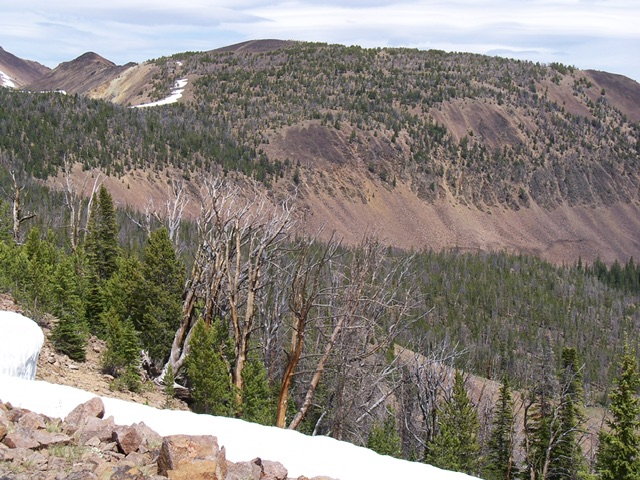
This twin summited peak is located southwest of White Mountain and northeast of Challis Lakes. Rick Baugher suggested the name. USGS Challis Creek Lakes
Access
Read Rick’s trip report linked below to better understand the difficulty in reaching this peak. Here is what the Forest Service says about the access route: “The Challis Creek Lakes trail is 3.5 miles long. It begins at Junction with 40091 and ends at Challis Creek Lakes. The trail is known as a “jeep trail” and is open to all vehicles. This is a very steep, narrow and rocky trail. High-clearance vehicles are recommended.” I suggest checking with the Forest Service to get a current road status report before attempting to drive to Challis Lakes
Routes, Class 2
Several climbers have reported summiting this peak. Rick’s is the only one to have provided a trip report.
Additional Resources
Regions: Eastern Salmon River Mountains->Salmon River Mountains->Southeast Corner Peaks->WESTERN IDAHO
Mountain Range: Eastern Salmon River Mountains
Longitude: -114.50749 Latitude: 44.56179
