Elevation: 10,104 ft
Prominence: 284

This peak is not in the book. Published November 2024
Peak 10104 is a soft-ranked hump on the north ridge of Little Kane Peak (10,184 feet). It can be climbed from the south in combination with a climb of Little Kane Peak or it can be directly climbed from Wildhorse Canyon Road to its northeast. USGS Standhope Peak
Access
Wildhorse Canyon Road/FST-138 [(C)(1) on Page 259 of the Book]. From its junction with [signed] Copper Basin Road/FSR-135, reset your odometer. At 1.9 miles, reach the Burnt Aspen Trailhead (right). At 3.2 miles, reach a pullout at an old road junction (right). This unsigned junction is only 0.1 miles before Wildhorse Canyon Road crosses Wildhorse Creek on a bridge.
The side road has a sign “closed to motor vehicles.” Park at this junction (7,240 feet and 43⁰51’16”N, 114⁰05’23”W). This is the first leg of a 3-peak adventure that includes Peak 10104, Little Kane Peak (10,184 feet), and Wildhorse Rock (8,972 feet). It covers 6.5 miles with 3,575 feet of elevation gain round trip.
Northeast Shoulder, Class 2
The Climb
From the unsigned old road junction, hike briefly south up the grassy remnants of an old 2-track road (not shown on maps). Leave the road and bushwhack right/west across a patch of sagebrush to reach the pine forest. Quickly find a dry creek drainage to the left/south of the forested face. A ridge (of sorts) soon emerges on the right/north side of the drainage. Bushwhack up this steep, forested (semi-open) ridge crest. Continue west then west-southwest to eventually reach open ridge terrain (easy grass/scrub) at about 8,350 feet.
The ridge heads west then southwest then south and has a few rocky outcrops to climb over or skirt. Higher up, the ridge is a mix of scattered pines, short grass/scrub, and broken rock. It is not too steep and goes well. The summit of Peak 10104 is visible from midway up. The ridge is now heading southwest. Very high up, the ridge opens up even more and bends right-ish/west. It is wider and more rounded. The terrain is very short grass/scrub and broken rock. Easy stuff. The summit of Peak 10104 is a gentle hump on the high ridge. It had no summit cairn so I built a small one on the high point.

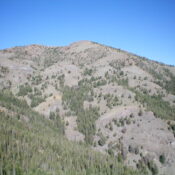
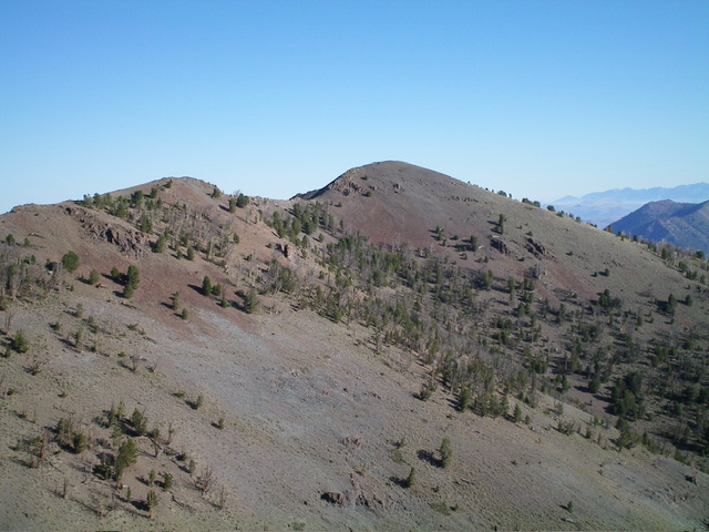
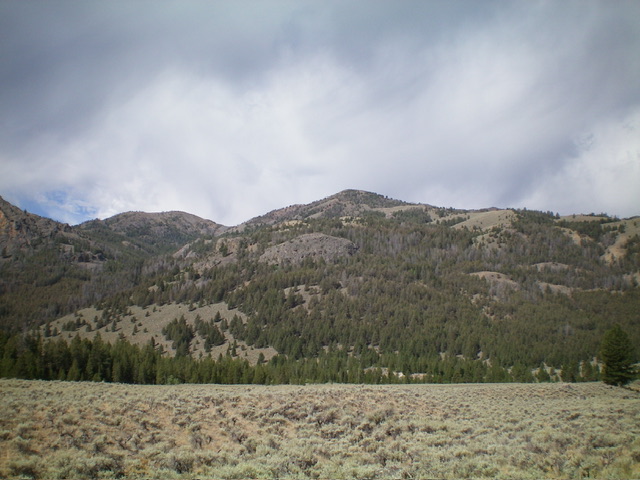
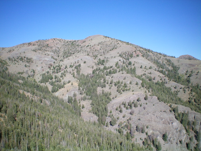
Another view of Peak 10104 from the southeast. The summit hump is right of center. Livingston Douglas Photo
South Ridge, Class 2
The Descent
From the summit, descend the ridge south-southwest in open terrain. Downclimb or skirt a few rocky ridge outcrops on their right/west side, staying close to the ridge on a goat trail at times. Scramble 75 vertical feet up over a ridge hump then descend to the 9,820-foot connecting saddle with Little Kane Peak (10,184 feet). This concludes the first leg of today’s 2-peak journey. Little Kane Peak is up next.
Additional Resources
Regions: EASTERN IDAHO->Pioneer Mountains
Mountain Range: Pioneer Mountains
Longitude: -114.12001 Latitude: 43.84601

