Elevation: 10,248 ft
Prominence: 508

This peak is not in the book. Skyline Peak is one of seven summits that surround Star Hope Creek. These peaks are best accessed from Copper Basin. John Platt and Dan Robbins climbed South Star Hope Peak, Skyline Peak, Pioneer Peak/Drummond Peak and Coco Peak in one day. Use the links below to access their trip reports. Updated November 2024
Skyline Peak is the southernmost of four ranked summits that sit on a high ridgeline on the west side of Star Hope Creek. The other peaks are Glide Mountain (10,256 feet), Peak 10096, and Coco Peak (10,420 feet). It is most easily climbed directly from rugged Star Hope Creek Road/FSR-508 to its northeast. USGS Star Hope Mine

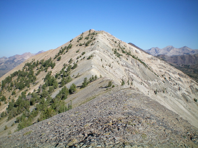
Skyline Peak and its southeast ridge (just left of center). This was my descent route. Livingston Douglas Photo
Access
Same as for Coco Peak. This is the second leg of a 4-peak adventure that includes Coco Peak, Skyline Peak, Drummond Peak (10,525 feet), and South Star Hope Peak (10,493 feet). It covers 7.0 miles with 3,850 feet of elevation gain round trip.
Map Errors
Maps fail to show the full extent of Star Hope Creek Road. It becomes a Jeep/ATV Road then a rugged ATV Trail soon after the old mining road where I parked. The rugged, narrow 2-track goes all the way to a high basin at about 9,600 feet. It makes for a good hiking trail and is used by ATVs up to about 8,900 feet. Beyond that, it is not even navigable by ATVs.
Northwest Ridge, Class 2
The Climb
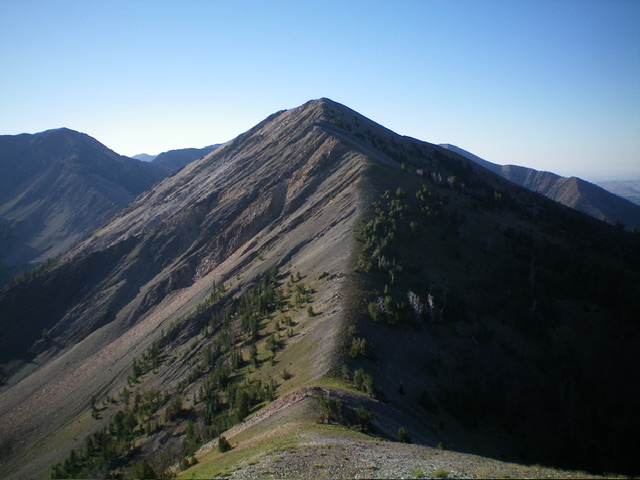
From the 9,740-foot connecting saddle with Coco Peak, scramble south then southeast up the ridge crest to Skyline Peak. The ridge terrain is easy, broken rock (initially) and, higher up, becomes more standard Class 2 ridge rock and talus/scree. The summit had a torn-down cairn so I rebuilt it.

Skyline Peak and its northwest ridge (dead center). This was my ascent route. Livingston Douglas Photo
Southeast Ridge, Class 2
The Descent
From the summit, descend southeast on a tedious ridge of talus and scree. Reach a gentle hump of broken rock. Climb 70 vertical feet over this ridge hump then descend east-southeast in a mix of easy ridge rock and talus/scree to reach a small ridge saddle/notch. This is the 9,660-foot connecting saddle with Drummond Peak (10,525 feet). It concludes the second leg of today’s 4-peak adventure. Drummond Peak is up next.

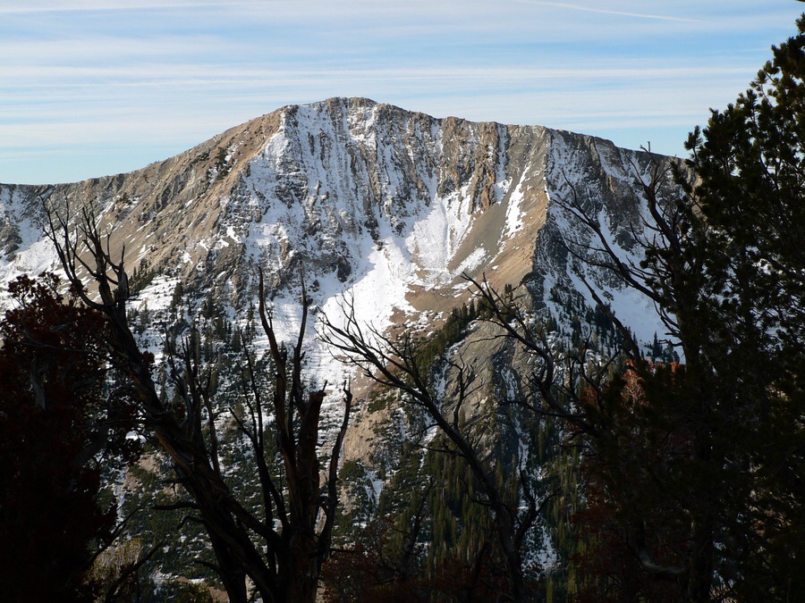
Skyline Peak and its rugged north face as viewed from the valley floor. This was the starting point for my 4-peak adventure. Livingston Douglas Photo

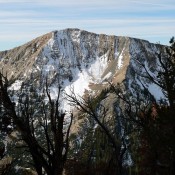
Skyline Peak. Dan Robbins Photo
Additional Resources
Regions: EASTERN IDAHO->Pioneer Mountains
Mountain Range: Pioneer Mountains
Longitude: -113.93389 Latitude: 43.67949