Elevation: 10,354 ft
Prominence: 454

This peak is not in the book. Updated November 2024
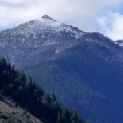
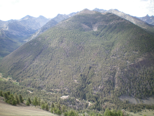
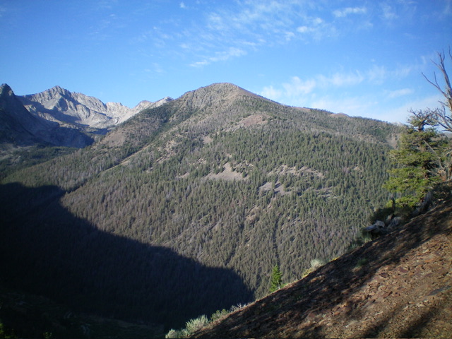
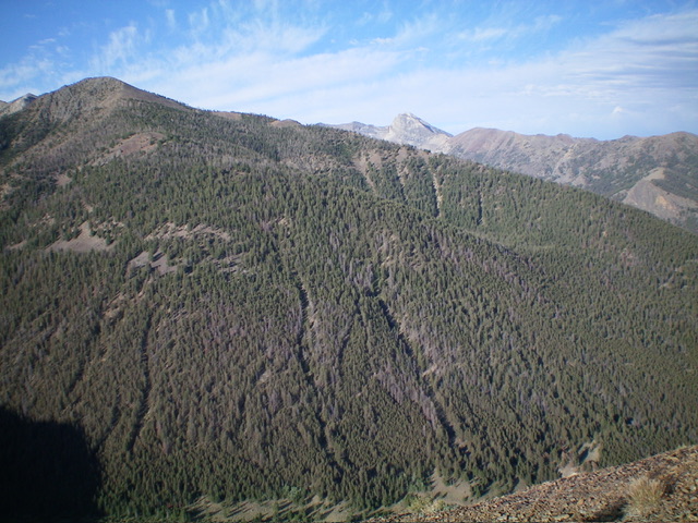
Moose Perch is a forested peak that towers above the convergence of Fall Creek and Wildhorse Creek in the Pioneer Mountains. While it is most easily climbed from Moose Lake, the shortest route to the summit is from Wildhorse Creek Road to its west. Moose Perch has some wicked cliffs on its north side (see photo) so be very careful if climbing (or descending) the north ridge. USGS Standhope Peak
Access
Wildhorse Canyon Road/FST-138 [(C)(1) on Page 259 of the Book]. From its junction with [signed] Copper Basin Road/FSR-135, reset your odometer. At 1.9 miles, reach the Burnt Aspen Trailhead (right). At 3.3 miles, cross Wildhorse Creek on a bridge and reach the spur road to the Fall Creek Trailhead (left). At 4.3 miles, reach a large dispersed campsite (left) with a sign for FST-4295. Park here (7,280 feet and 43⁰50’17”N, 114⁰05’12”W).
Northwest Shoulder, Class 2+
The Climb
From the dispersed campsite, follow a faint ATV trail (FST-4295) on its right/south side up into the forest on a shoulder that is just to the left/north of a wet creek drainage (this wet drainage is shown on maps). Bushwhack up this shoulder in a pine forest that is littered with dead tree branches on the ground. The shoulder is pretty steep. It heads east or east-southeast consistently and moves away from the creek drainage.
Higher up, the underlying terrain becomes gravel/dirt and is somewhat loose. The forest is dense but the deadfall is not too bad. Stay on the elusive crest of the rounded, face-like shoulder whenever possible. Higher up, the terrain opens up a bit and the ridge gains definition. The right/south side is open scree/gravel and is very steep and loose. You will be on all fours in some sections here. It is slow and brutal. There is a large gully to the right/south of the ridge crest here. The ridge has scattered pines and some blowdown to skirt. The real problem is the endless, loose scree and gravel.
The northwest shoulder eventually merges into the north ridge at a juncture just above a large, rocky pillar (on the north ridge). From the juncture, the north ridge heads right-ish/southeast then south to the summit. The terrain opens up and is a mix of scattered ridge pines, deadfall, and loose scree/gravel. The pines persist until about 10,200 feet, just below the summit hump. The summit hump is a pile of boulders and talus. A final, Class 2 scramble up the boulders/talus puts you near the ridge-crest summit. Head right/south on more boulders/talus to reach the cairned high point. The rocky ridge crest continues southeast to a few more [and lower] ridge bumps.
This route differs from the Baugher route which climbs the west face on the SOUTH side of the large gully/drainage and finishes on the SOUTH ridge.

Moose Perch (in mid-ground) as viewed from the north with Fall Creek at its base. Livingston Douglas Photo
Additional Resources
Regions: EASTERN IDAHO->Pioneer Mountains
Mountain Range: Pioneer Mountains
Longitude: -114.06369 Latitude: 43.83049

