Elevation: 10,356 ft
Prominence: 496
This peak is not in the book. Livingston Douglas added new photos. Updated December 2024
Peak 10356 is one of four ranked Boulder Mountains peaks surrounding Little Fall Creek. This peak can be climbed from most directions. You should be able to find a Class 2 route, no matter which way you approach the peak. The other three peaks are Peak 10340, Peak 10350 and Peak 10300. Additionally, you can traverse to Peak 10102 from this peak.
Access
Little Fall Creek provides good access via a mining road that climbs up to 9,200 feet. In June 2015, the road was blocked by two large fallen trees just above the second creek crossing. Most high-clearance vehicles (driven carefully) can make it to the first creek crossing. A 4WD will be necessary above this creek crossing and even many 4WDs will have difficulty crossing a large step on the talus slope above the first creek crossing. Thankfully, the road makes an excellent hiking trail. USGS Meridian Peak

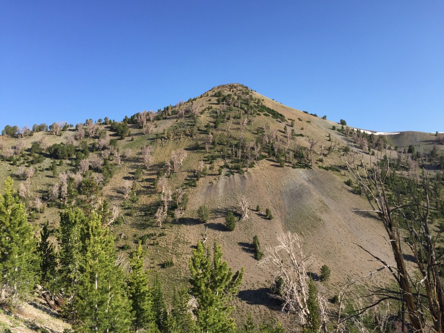
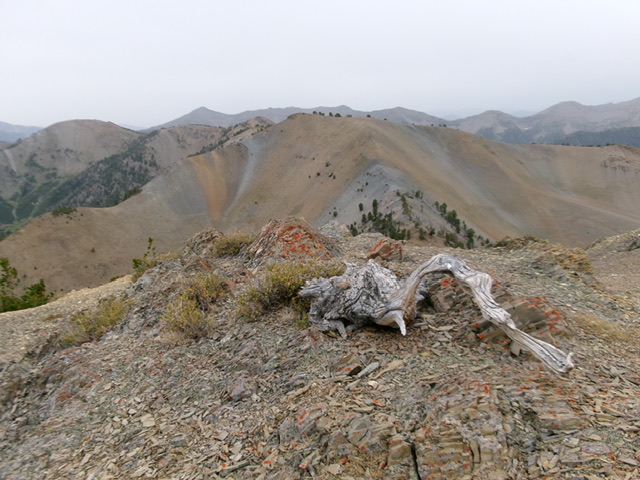
Peak 10356 as viewed from the northeast ridge of Peak 10340
Traverse from Peak 10340, Class 2
The traverse from Peak 10340 has a few obstacles below the summit. These obstacles can be skirted by scrambling through loose talus or climbed directly over some rocky outcrops (Class 3). From the summit of Peak 10340, follow the connecting ridge north to the saddle then climb up the south ridge. This saddle can also be reached from the end of Fall Creek Road via game trails without too much difficulty.
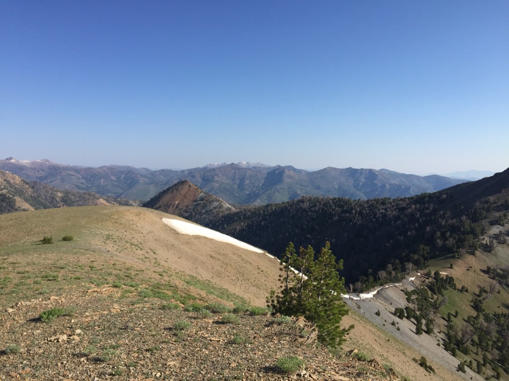
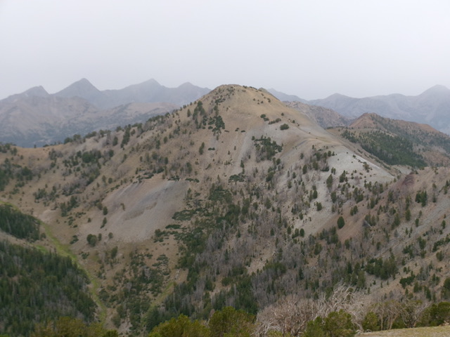
Looking north from the summit of Peak 10340 to the connecting saddle with Peak 10356.
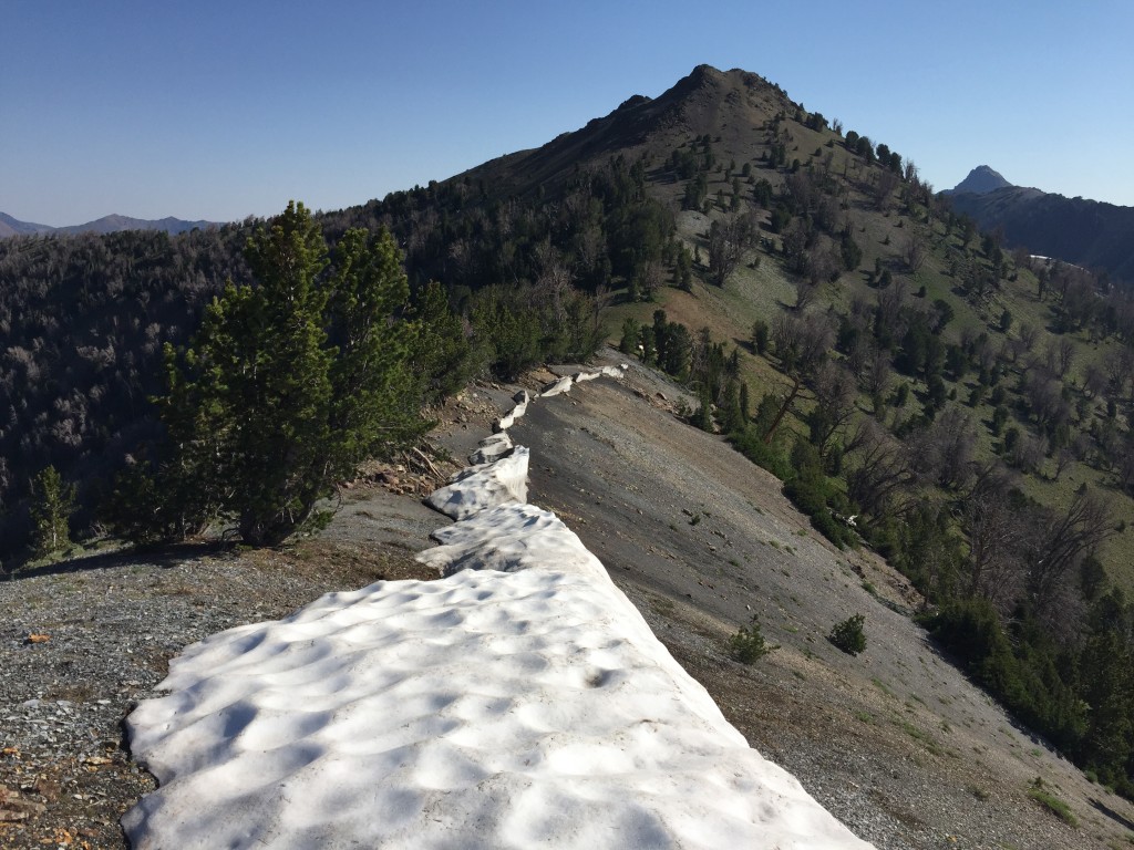
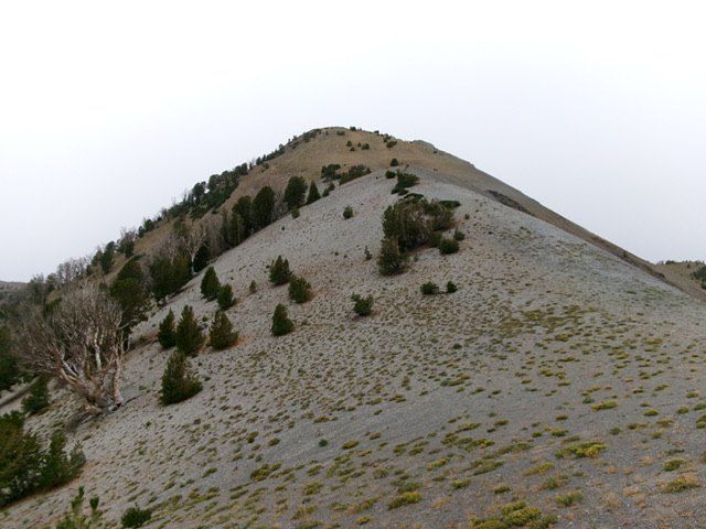
Looking across the saddle between Peak 10340 and Peak 10356. The south ridge of Peak 10356 rises up the middle of the photo.
A closer view of the south ridge of Peak 10356
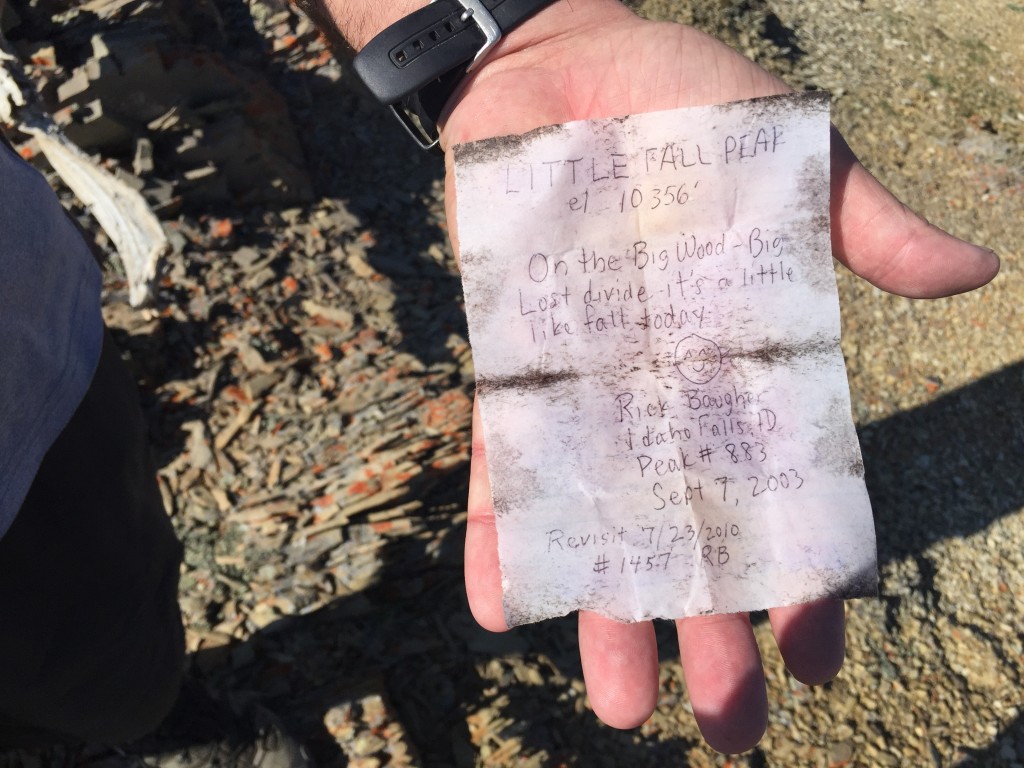
Rick Baugher’s note in the summit register
Livingston Douglas Photos
Peak 10356 as viewed from Point 10271 to its southeast. Livingston Douglas Photo
Peak 10356 and its gravelly northeast ridge (center). This was my descent route. Livingston Douglas Photo
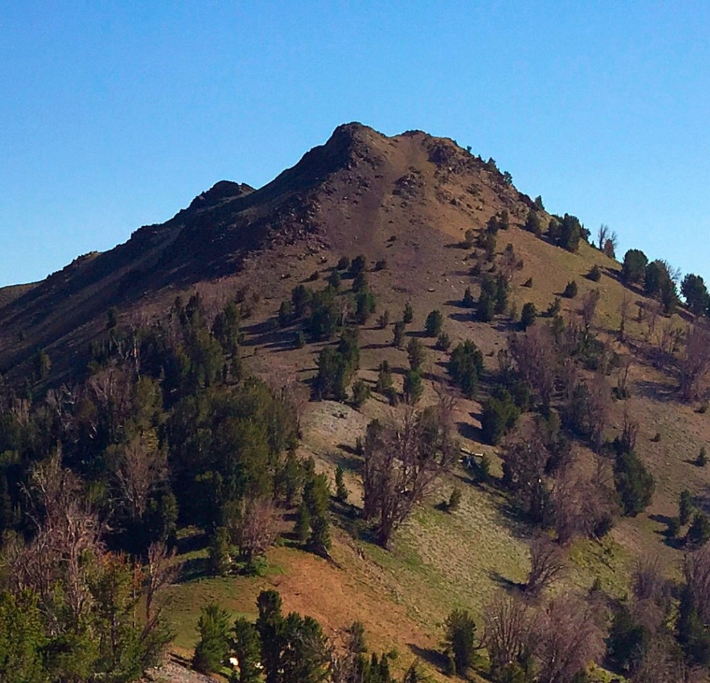
The summit of Peak 10356 with Peak 10340 behind it in mid-ground. Livingston Douglas Photo
Additional Resources
Regions: Boulder Mountains->EASTERN IDAHO
Mountain Range: Boulder Mountains
Year Climbed: 2015
Longitude: -114.27869 Latitude: 43.87829