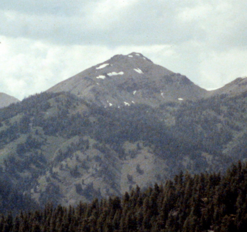
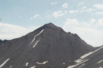
Elevation: 10,566 ft
Prominence: 402
Climbing and access information for this peak is on Pages 239-240 of the book. Livingston Douglas updated the introductory paragraph, added detailed route descriptions covering the routes in the book, and included new photos. Updated December 2024
Peak 10566 is one of two high peaks that sit atop a ridge that separates Trail Creek from West Fork Trail Creek in the Boulder Mountains. Its sister peak (Peak 10598) is slightly higher and is a short distance to the southwest. Both peaks are most easily climbed from the West Fork Trailhead. USGS Rock Roll Canyon
Access
Park Creek Road and the Trail Creek Loop Trail [(B)(1)(a) on Page 242]. See the Peak 10598 page for additional details.
Southwest Ridge and South Face/East Shoulder by Livingston Douglas
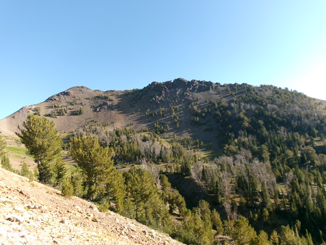
Peak 10566 (summit hump is at far left) and its choppy upper southeast ridge (skyline in center and right of center). No wonder Dave Pahlas skirted below it! Livingston Douglas Photo
This is the second leg of a 2-peak adventure that includes Peak 10598 and Peak 10566. It covers 6.5 miles with 3,250 feet of elevation gain round trip.
Southwest Ridge, Class 2+
The Climb
From the 10,164-foot connecting saddle with Peak 10598, climb northeast up a ridge of scree/gravel and firmer ridge rock/outcrops (Class 2+). Scramble up the ridge crest through face rock and in chutes to avoid the loose scree/gravel on the sides of the ridge. The summit of Peak 10566 has a decent cairn. The high point is a small perch on a ridge corner.
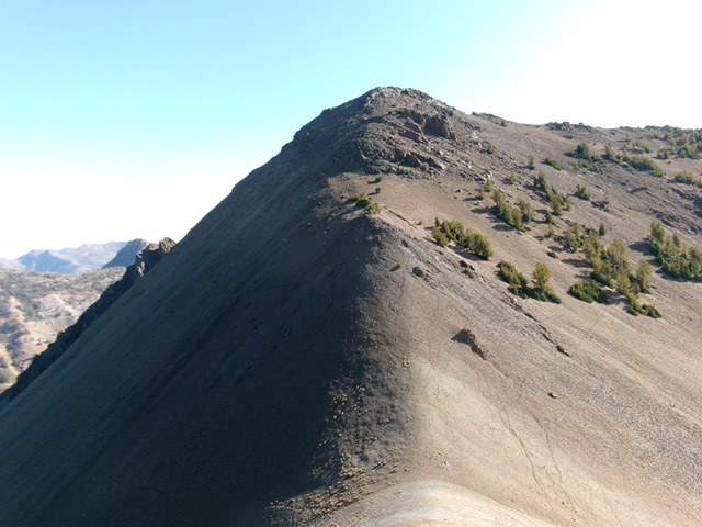
Peak 10566 and its southwest ridge (dead center). This was my ascent route. Livingston Douglas Photo
South Face/East Shoulder, Class 2+
The Descent
From the summit, descend briefly southeast on the steep, rocky, narrow ridge crest. This is Class 2+ downclimbing on unstable scree in the face rock and rocky ridge outcrops. Reach a minor, gravelly saddle. From there, descend south on a face of loose gravel (boot-ski it). The slope is steep at first but is less steep as you approach a high basin. Move left-ish/east onto an emerging shoulder that is forested. This shoulder follows the left side of the drainage that starts at Saddle 10164 and heads southeast then east down to Trail Creek.
The forested shoulder can be difficult to follow since there are multiple shoulders heading east. Stay on the shoulder that is closest to the [obvious] drainage. This prominent drainage follows the north side of the southeast ridge of Peak 10598. It is too thick with deadfall and brush to descend. It is also quite narrow. Avoid it. The bushwhack down the east shoulder is not fun. The shoulder is a mix of thick pines with lots of deadfall, but it goes thanks to a few semi-open areas to the left/north and some gaps. Lower down, the right/south side of the shoulder opens up and is angled scrub with good visibility of what lies ahead.
Lower down, the [now-open] crest of the shoulder descends to end at a convergence of two streams. Cross to the left/north side of the north-most stream and climb a little to stay out of the willows and the very steeply-angled scrub above the stream drainage. Follow a weak elk trail as it contours across the scrub to eventually lead onto a shoulder of open scrub. This shoulder heads east down into a final patch of pine forest. Bushwhack east through this reasonable pine forest and quickly reach the north fork of the Loop Trail. Go right/south onto the trail and follow it down to the signed fork/junction. Continue straight down to Trail Creek. Go upstream about 100 feet to cross the creek on the log footbridge. Follow a use trail down to the main trail then hike along the main trail a short distance back to the West Fork Trailhead.
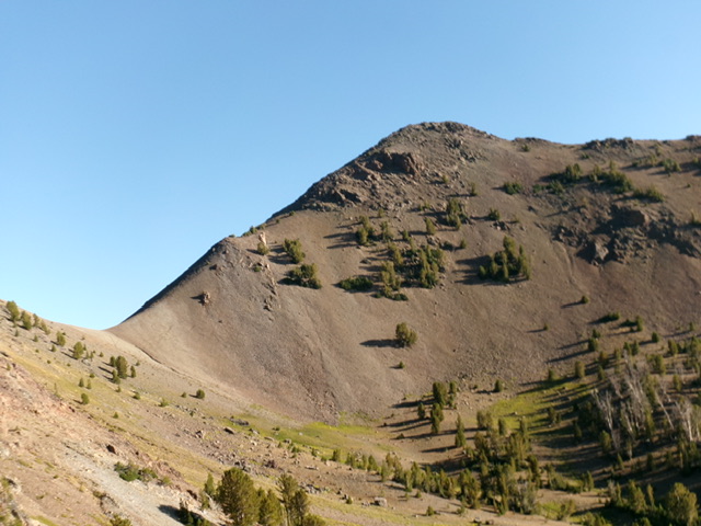
Peak 10566 and its southwest ridge (skyline left of center). Its south face is in center and was the initial leg of my descent route. Livingston Douglas Photo
Additional Resources
