Elevation: 10,577 ft
Prominence: 302

This peak is not in the book. Published November 2024
Thanks to LiDAR, Peak 10577 is now a ranked summit and not simply a ridge point. It is a ranked hump on the lengthy east ridge of Doublespring Peak (11,608 feet). Peak 10577 is most easily climbed via its north side from Cayuse Canyon. USGS Borah Peak

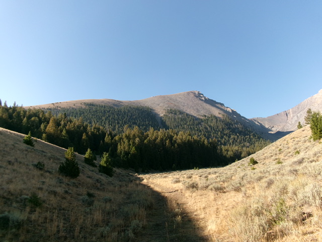
Peak 10577, its mostly-forested north face, and its northeast ridge (skyline left of center) as viewed from Cayuse Canyon to its north. This was my ascent route. Livingston Douglas Photo
Access
From US-93 northwest of Mackay, turn right/northeast onto [signed] Doublespring Road/FSR-116. Drive At 7.2 miles, reach Doublespring Pass. At 10.2 miles, reach a signed junction with Horseheaven Pass Road/FSR-117. This junction is also 3.8 miles south of Christian Gulch Road. Drive 3.7 miles southeast up FSR-117 to Horseheaven Pass. Continue about 50 yards southeast over the pass to reach an unsigned 2-track road that heads right/southwest up to the mouth of Cayuse Canyon. Drive 0.3 miles up this 2-track road to a cattle cistern at the mouth of Cayuse Canyon. Park here (8,055 feet and 44⁰13’47”N, 113⁰45’30”W).
North Face/Northeast Ridge, Class 2
The Climb
From the cattle cistern, hike about ¾ mile up Cayuse Canyon on an old grassy 2-track road to a meadow. Leave the 2-track at the north end of this meadow. Scramble left/east up onto a grassy, open shoulder that heads right/south, parallel to Cayuse Canyon. This narrow shoulder soon ends at a thick pine forest. Bushwhack left/north up through the steep, but easy, pine forest (not much deadfall or understory) to tree line.
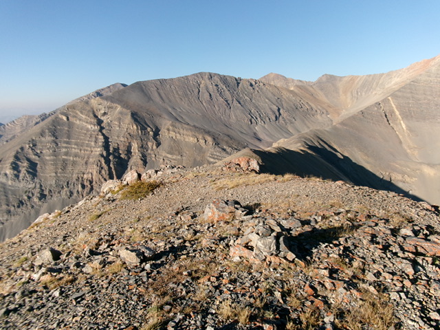
Once above tree line, scramble up a steep tundra slope to reach the rounded crest of the northeast ridge. Follow the easy ridge of tundra, scree, and gravel southwest then south to the final, rocky, narrow ridge crest summit area. The high point is at the southwest end. I rebuilt the small, torn-down summit cairn and made it much bigger.

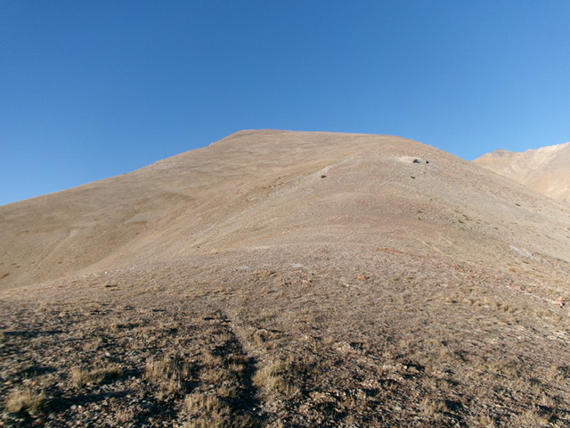
Looking up the final stretch of the northeast ridge. The summit hump is not yet visible. Livingston Douglas Photo
Additional Resources
Regions: EASTERN IDAHO->Lost River Range
Mountain Range: Lost River Range
Longitude: -113.77277 Latitude: 44.20452
