Elevation: 10,608 ft
Prominence: 156

This peak is not in the book. The elevation is based on LiDAR measurements. The map elevation is 10,601 feet. Published December 2024
Striped Peak is a rocky bump high on the east ridge of Shril Benchmark. It sits on a ridge corner where the south ridge of Shril Benchmark descends to the valley floor. USGS Eightmile Canyon

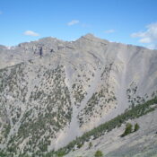
Striped Peak (slightly right of center), the south ridge (skyline left of center in mid-ground), and the crumbly scree/gravel on the southeast face. To navigate the steps/breaks in the south ridge, the southeast face must be navigated very carefully. Livingston Douglas Photo
Access
Same as for Shril Benchmark (10,694 feet). This is the final leg of a 3-peak adventure that includes Gloved Peak (10,600 feet), Shril Benchmark, and Striped Peak. It covers 13.0 miles with 5,450 feet of elevation gain round trip.
Northwest Ridge, Class 2
The Climb
From the summit of Shril Benchmark, follow the high ridge southeast to a minor ridge saddle at 10,460 feet. This is the connecting saddle with Striped Peak. The ridge traverse from Shril Benchmark to Striped Peak is narrow and rocky with some outcrops to skirt. The terrain is decent shale and presents no problems. You may have some ridge snow to contend with if you undertake this high traverse in early Summer.

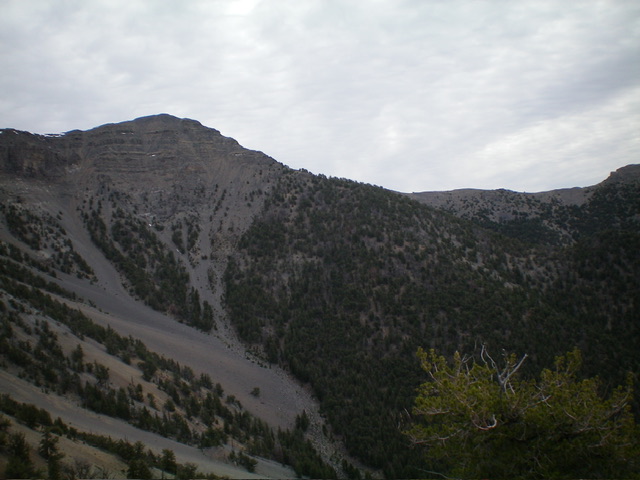
Striped Peak (summit is left of center) and its rugged south ridge (diagonal skyline in center). This was my descent route. Livingston Douglas Photo

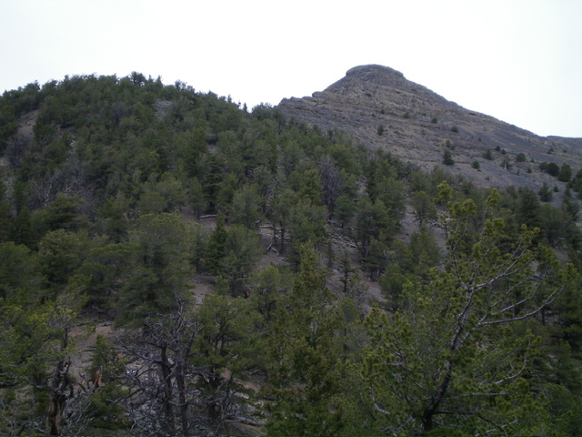
Striped Peak (the summit is right of center) and its rugged southeast side. This view is from Point 9219. Notice the cliff steps on the south ridge in dead center. Livingston Douglas Photo
South Ridge, Class 3
The Descent
Please refer to the South Ridge Route for Shril Benchmark.
Additional Resources
Regions: EASTERN IDAHO->Lemhi Range
Mountain Range: Lemhi Range
Longitude: -112.98258 Latitude: 44.01298