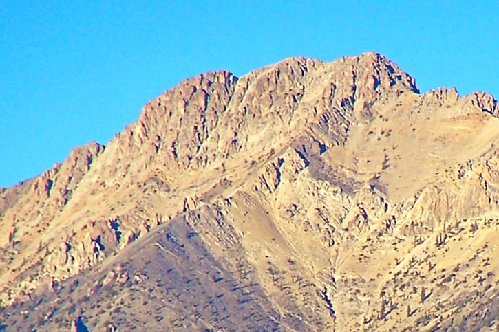
Elevation: 10,729 ft
Prominence: 1,247
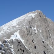
Climbing and access information for this peak is on Page 305 of the book. LiDAR measurements have increased the elevation of this peak by 14 feet. The unofficial name was suggested by Rick Baugher who made the first recorded ascent. As detailed in the book, Rick climbed the peak from the west. Use the link below to read about his route. The ridge between Mount Inspiration and Prescott Peak/Mount Perspiration is the most efficient route from the east is to follow this Class 3 connecting ridge. Livingston Douglas completely revised the route description and added additional photos. The peak’s elevation and prominence are now updated with LiDAR figures. Updated November 2024
Mount Inspiration is located on the main Lemhi Range Crest south of Trail Peak. Livingston Douglas points out “this is a difficult peak to reach from either its east or west sides. I climbed it in combination with nearby Mount Perspiration (10,698 feet) via a challenging scramble up from Coal Kiln Canyon to the east. The south ridge is the easiest route to the top of Mount Inspiration.”USGS Big Windy Peak
South Ridge by Livingston Douglas
Access
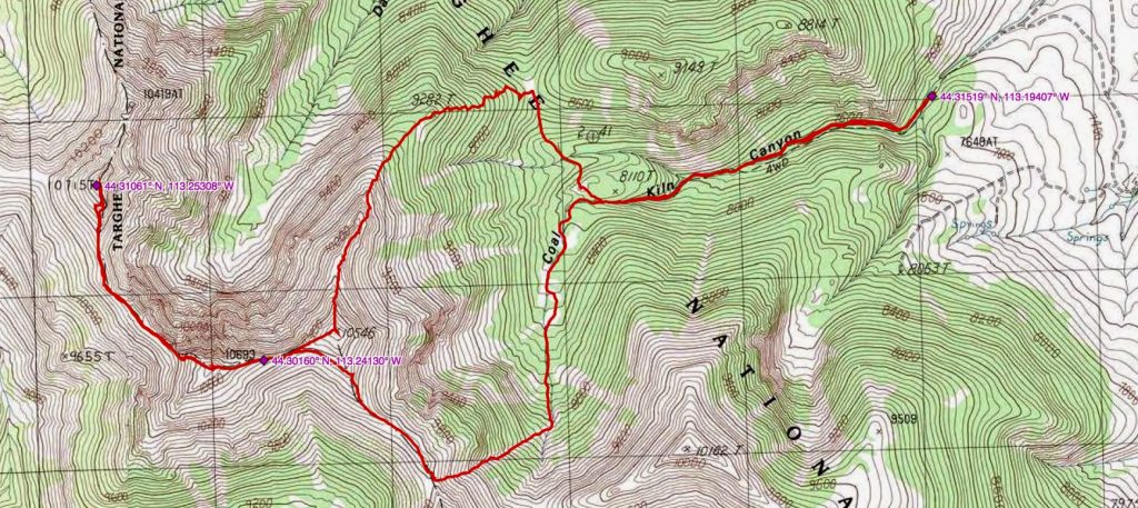
Same as for Prescott Peak/Mount Perspiration (10,698 feet). This is the secondleg of a 2-peak adventure that includes Mount Perspiration and Mount Inspiration (10,729 feet). It covers 10.0 miles with 4,950feet of elevation gain round trip.
South Ridge, Class 2
The Climb
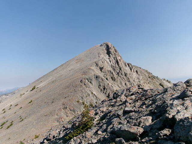
From the 10,300-foot connecting saddle with Mount Perspiration, scramble up the left/west side of the exposed ridge crest. The terrain is loose, angled scree with no help from goat trails. The ridge rock is generally more stable than the sides. Climb up over a rocky false summit (or skirt its left/west side) then drop a bit to a final ridge notch. Continue up reasonable ridge rock and talus to reach the cairned summit of Mount Inspiration. I built up the summit cairn a bit. From the summit, return to the 10,300-foot connecting saddle with Mount Perspiration. Climb its northwest ridge then descend its east ridge up over Point 10546. From there, descend the ascend the route back to the Coal Kilns parking area.
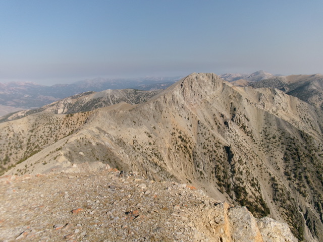
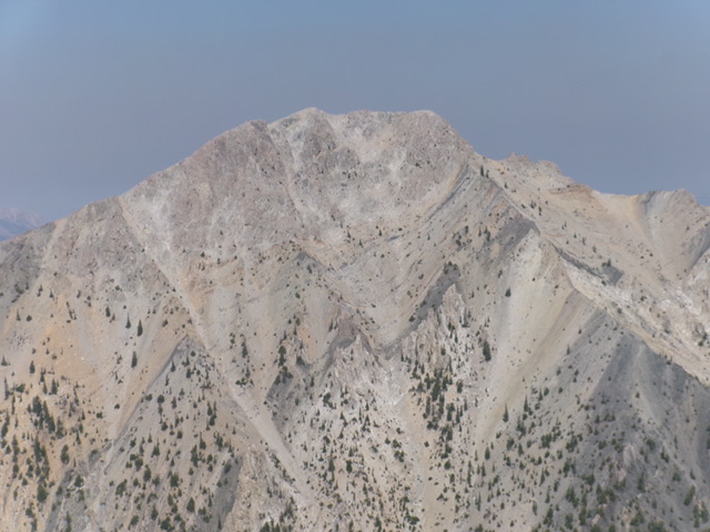
The choppy, curving connecting ridge from Mount Perspiration to Mount Inspiration. This view is from the summit of Mount Perspiration. Surprisingly, it goes at Class 2. Mount Inspiration is just right of center. Livingston Douglas Photo
John Platt GPS Track and Photos
Additional Resources
Regions: EASTERN IDAHO->Lemhi Range
Mountain Range: Lemhi Range
Longitude: -113.25289 Latitude: 44.31049
