Elevation: 10,742 ft
Prominence: 732
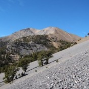
This peak is not in the book. The north ridge was the only known ascent route. Livingston Douglas added a new more difficult route which was likely a first ascent, more description of the standard descent route, more detailed description of the access, and new photos. Finally, LiDAR has updated both the elevation and prominence of Williams Peak. Updated November 2024
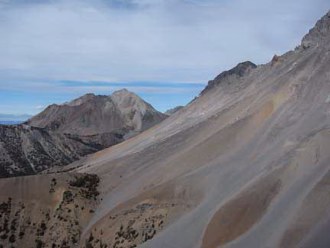
Williams Peak sits 1.1 miles SSW of Donaldson Peak. While the summit is not on the main crest and is not as high as its neighboring summits, it offers incredible views of the Lost River Range from Borah Peak to Mount McCaleb. Livingston Douglas notes the peak “is guarded by cliffs on its south and west sides and much of its east side. The mountain’s weakness is its north side, which is quite gentle.” USGS Leatherman Peak
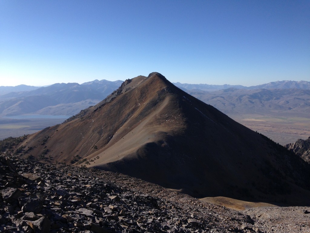
Williams Peak’s north ridge as viewed from the near the Church/Donaldson headwall.
Access
To reach the summit, follow the directions in the book for Mount Church’s East Ridge Route on Page 292. Alternatively, use website pages for Mount Church or Donaldson Peak pages for more up to date information covering access from either the North Fork Jones Creek or the Jones Creek access.
North Ridge, Class 2+
Hike to the 10,000-foot saddle just north of the peak and then ascend 750 vertical feet on easy slopes to the summit.
East Face/Southeast Ridge and North Ridge/East Gully by Livingston Douglas
Access
Jones Creek [(B)(10) on Page 292 of the Book]. Here are updated, specific instructions on this potentially-confusing drive. From US-93 exactly 9.2 miles northwest of Mackay, turn right/northeast onto [signed] Jones Creek Road/BLM-415. Reset your odometer at this junction. At 1.0 miles, reach an unsigned junction with a weak 2-track road heading right/east. Go right here. This 2-track road almost immediately turns left/northeast on a bench. At 1.7 miles, reach an unsigned junction with a flat 2-track road heading right/southeast. Go right here. At 2.8 miles, reach an unsigned major road junction. Go left/north here. At 4.5 miles, reach the road’s end at the mouth of Jones Canyon at about 7,560 feet. Park here.
Map and Website Corrections
Both the National Forest map and USGS topo map fail to show the final segment of the 2-track road that leads to the mouth of Jones Creek Canyon.
East Face/Southeast Ridge, Class 4
The Climb
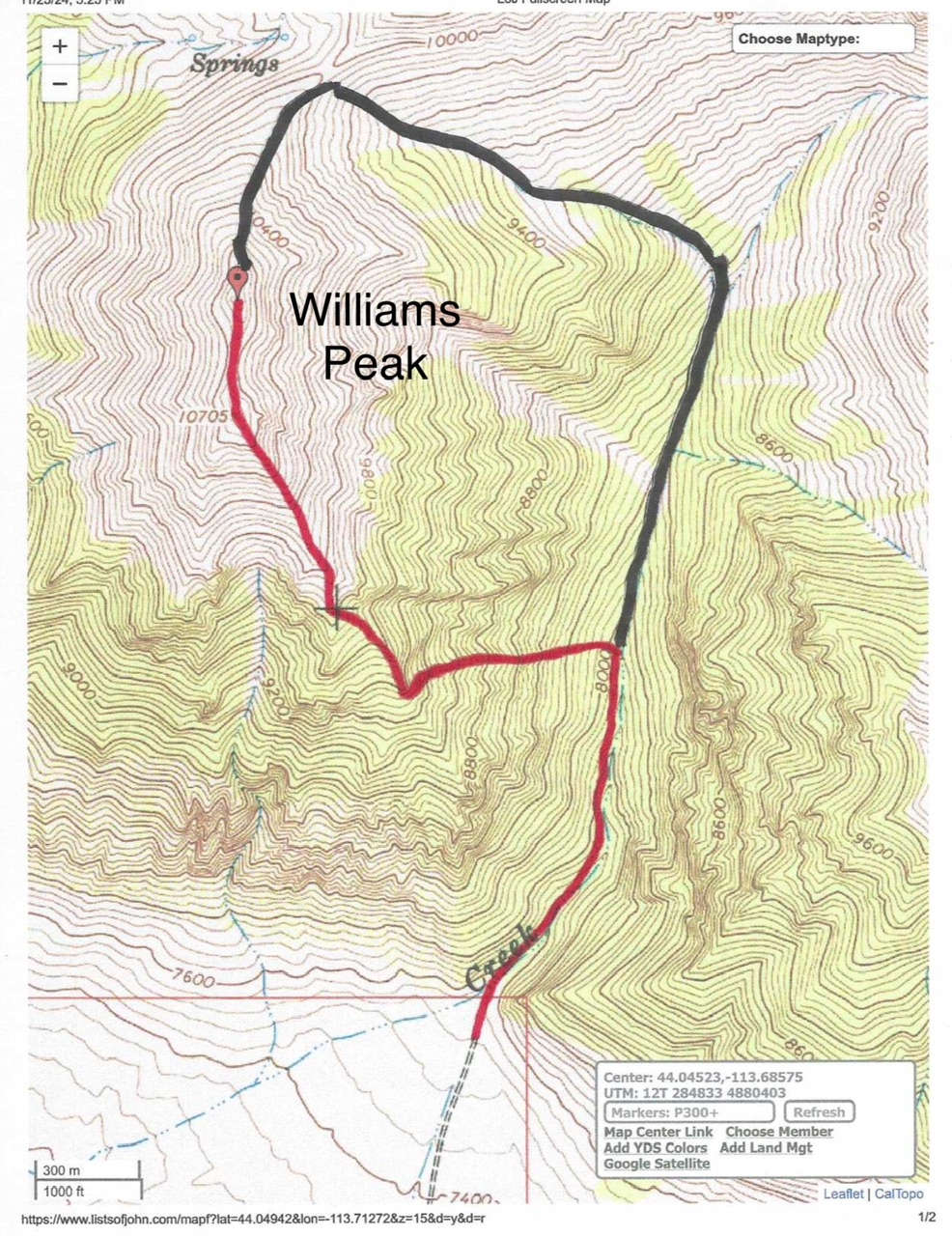
This is a difficult route and should only be undertaken by experienced mountaineers who are comfortable with steep, exposed rock scrambling. From the end of Jones Creek Road at the mouth of Jones Creek Canyon, follow a use trail on the left/west side of Jones Creek. This narrow foot path is always near the creek and is always on the west side of the creek. This trail is not immediately obvious at the mouth of the canyon. The trail is gone (or buried by downed trees or thick brush) in areas and is narrow/weak in many other spots, but it still beats bushwhacking up the rocky, brushy, willow-infested creek bed or side-hilling on steep gravel.
Leave the creek drainage at just below 8,000 feet and scramble left/west up the steep, forested face up to the crest of the southeast ridge. This climb is reasonable initially, albeit with steep, loose gravel and pines/deadfall to work around. Higher up, however, it becomes a nightmare. The face gets steeper and rockier with pines and brush mixed in with the large blocks/boulders. I should have angled left-ish/southwest earlier than I did.
Climb up steep, loose gullies/chutes of scree and gravel as well as steep aretes with dense mountain mahogany nearby. Move left/south to avoid cliffy face rock/towers. Cross a final, steep arete to reach paradise—a wide gully of Class 2, steep-ishscree/gravel. This is the left/southwest side of the southeast ridge. Reach this spot at about 9,400 feet. Scramble northwest up the left/southwest side of the ridge crest (or on the ridge crest itself) with no problems until about the 10,200-foot level. Navigate around a rocky ridge hump by staying close to the blocky ridge crest or skirting its left/southwest side on angled scree/gravel. Skirt a few ridge towers then regain the ridge crest and head up to rocky Point 10705.
From Point 10705, the hump to the north (the true summit) appears to be lower but, in fact, it measures 30 vertical feet HIGHER—an optical illusion. Descend north on Class 2 ridge rock and scree/gravel to a narrow saddle. From the saddle, scramble north of easy Class 3 ridge rock to the rocky summit perch of Williams Peak. There are two potential high points. The first is a collection of boulders (upon which I built a small cairn). The second is about 40 feet to the north and measures at 5-10 feet lower. However, it has a summit cairn atop it because it is in an easier, gentler spot to build a cairn. Stand atop both points “just to be sure.”
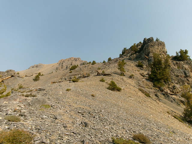
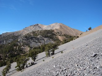
Looking up the southeast ridge of Williams Peak from about midway up. This was the upper leg of my ascent route. Livingston Douglas Photo
North Ridge/East Gully, Class 2+
The Descent
From the summit, descend north then northeast down the easy, Class 2 scree/gravel (with a few goat paths here and there) the rounded ridge crest to approach an open, gravelly saddle below. Leave the ridge before reaching the saddle and boot-ski east down gravel to reach the side drainage that comes down from the aforementioned saddle. Head east-southeast down the dry drainage to Jones Creek. The drainage/gully becomes narrow, steep, and rocky as you descend. It becomes semi-forested farther down. The final drop to Jones Creek is on a scree field/slope on the left/north side of the narrow drainage (which now has a small stream in it).
Descend steeply into the Jones Creek drainage and its wet, brushy, deadfall-strewn mess just below a beautiful waterfall. Stay on the angled right/west side and look for a use trail. After a short descent in the wet creek bed itself (the sides were too steep), I found a cairned foot trail. The trail is well-cairned up high and follows the right/west side of Jones Creek. The trail disappears midway down in a section of massive downed trees. Move into the creek bed itself to skirt this downed timber then return to the right/west side of the creek to find the foot path again.
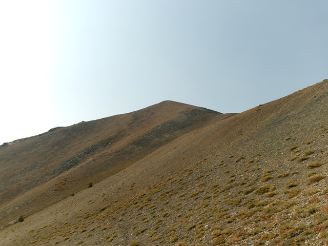
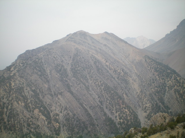
The summit of Williams Peak (dead center) as viewed from the northeast. This was the first leg of my descent route. Livingston Douglas Photo
Additional Photos

The view of Mount Church to Mount Breitenbach from Williams Peak.
Additional Resources
Regions: EASTERN IDAHO->Lost River Range
Mountain Range: Lost River Range
Year Climbed: 2003
First Ascent Information:
- Other First Ascent: East Face/Southeast Ridge
- Year: 2024
- Season: Summer
- Party: Livingston Douglas
Longitude: -113.71279 Latitude: 44.04939
