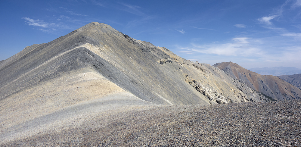
Elevation: 10,751 ft
Prominence: 451
This peak is not in the book. Judi Steciak provided photos and a route description for the peak’s northwest ridge. Livingston Douglas has provided an alternative descent route off this peak which is set out below. Updated December 2019
Peak 10751 is located on the main Lemhi Ridge Crest roughly midway between Bell Mountain and Diamond Peak. This peak is best climbed as part of the Lemhi Enchainment, Little Sister to Foss Mountain Route pioneered by Larry Prescott. The link to Larry’s original trip report (which contains many more photos) is found below. This traverse starts by climbing Little Sister and then traversing to Big Sister, Little Brother, Midway Mountain, Peak 10681 and Foss Mountain. The journey covers 13 miles with 7,300 feet of elevation gain. The entire route is Class 2. USGS Bell Mountain
Northwest Ridge, Class 2
Follow the directions to the mining road [(C)(8) on Page 318]. At the first switchback on the road, turn east and walk up a faint track. Leave the track when it veers south. Continue east and gain the foot of the broad sub-ridge that heads toward Point 9523. Contour to the saddle north of Point 9523. Traverse down into Cedar Run Canyon and gain the base of the northwest ridge of Peak 10751. Follow the ridge to the summit on generally good footing. This route, either as an ascent or descent, allows a loop hike of Peak 10681 and Peak 10751.
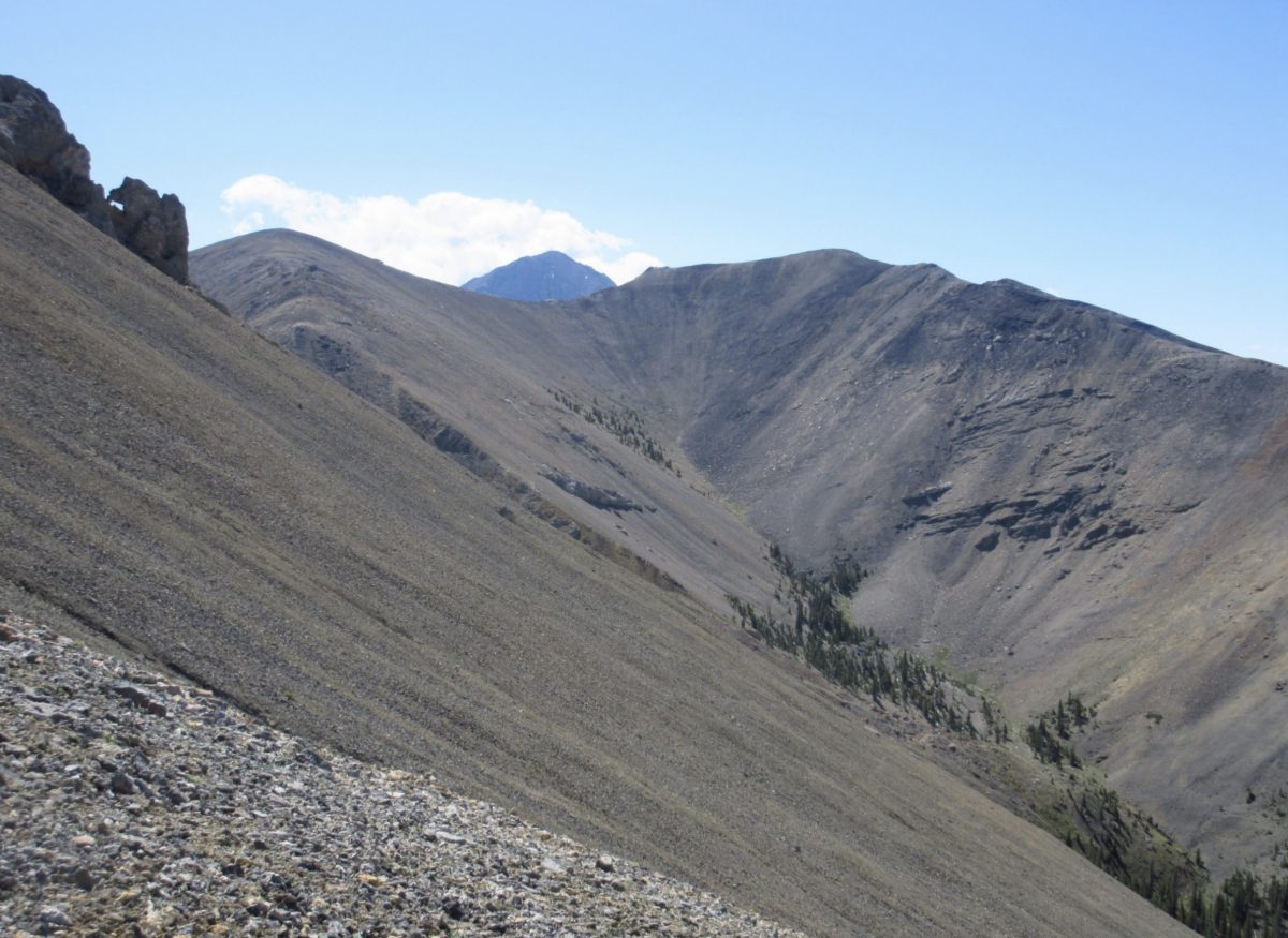
Diamond Peak peeks above the saddle between Point 10722 (left) and Peak 10781 (right). The northwest ridge of Peak 10781 follows the right skyline. Judi Steciak Photo
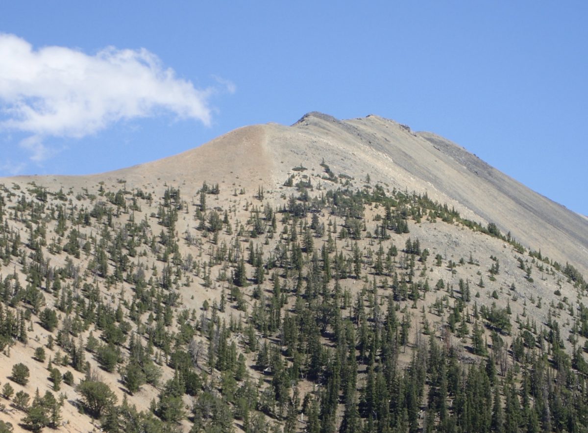
View of Peak 10751 and its northwest ridge as viewed from the saddle north of Point 9523. Judi Steciak Photo
Northwest Ridge/Cedar Run Canyon by Livingston Douglas
Access
The access road for Mud Spring/Cedar Run Creek is located on the Little Lost River Highway, exactly 0.3 miles north of the [signed] Pass Creek Road junction in Clyde and 28.0 miles north of Howe. Turn right/east onto the [unsigned] access road and reset your odometer. At 0.3 miles, turn right/south after crossing the Little Lost River on a bridge. Cross a cattle guard. At 1.0 miles, turn left/northeast at an unsigned road junction. This is Mud Spring Road. At 1.2 miles, go left at an unsigned junction. At 4.1 miles, reach the end of Mud Spring Road in a meadow/cow pasture. Park here (6,900 feet).
The Descent
From the summit of Midway Mountain, cruise down the broken scree and easy rock of the northwest ridge to 9,800 feet. At this point, the ridge becomes rounded and ill-defined. To avoid the steepest terrain and to minimize the forest bushwhack, descend north on scree/gravel (boot-ski if you wish) to reach the forest below. Once you reach the pine forest, the pace slows down considerably. The pine forest has lots of blowdown to navigate around/through. You will soon reach the creek drainage of Cedar Run Canyon.
The four mile bushwhack down Cedar Run Canyon is a real chore. Sometimes the creek bed is wet and sometimes it is bone dry. It’s mostly a dry drainage. There is a lot of blowdown and boulders in the narrow canyon. In areas where it is feasible, side-hilling in the forest works better than the center of the drainage. There are no signs of animal activity until well down the canyon. Animals don’t want to mess with this stuff. The final mile of the canyon descent is joyful. Use a cattle trail then an old 2-track jeep road to reach the meadow at the mouth of the canyon and your parked vehicle. No doubt the cattle will be waiting for you.
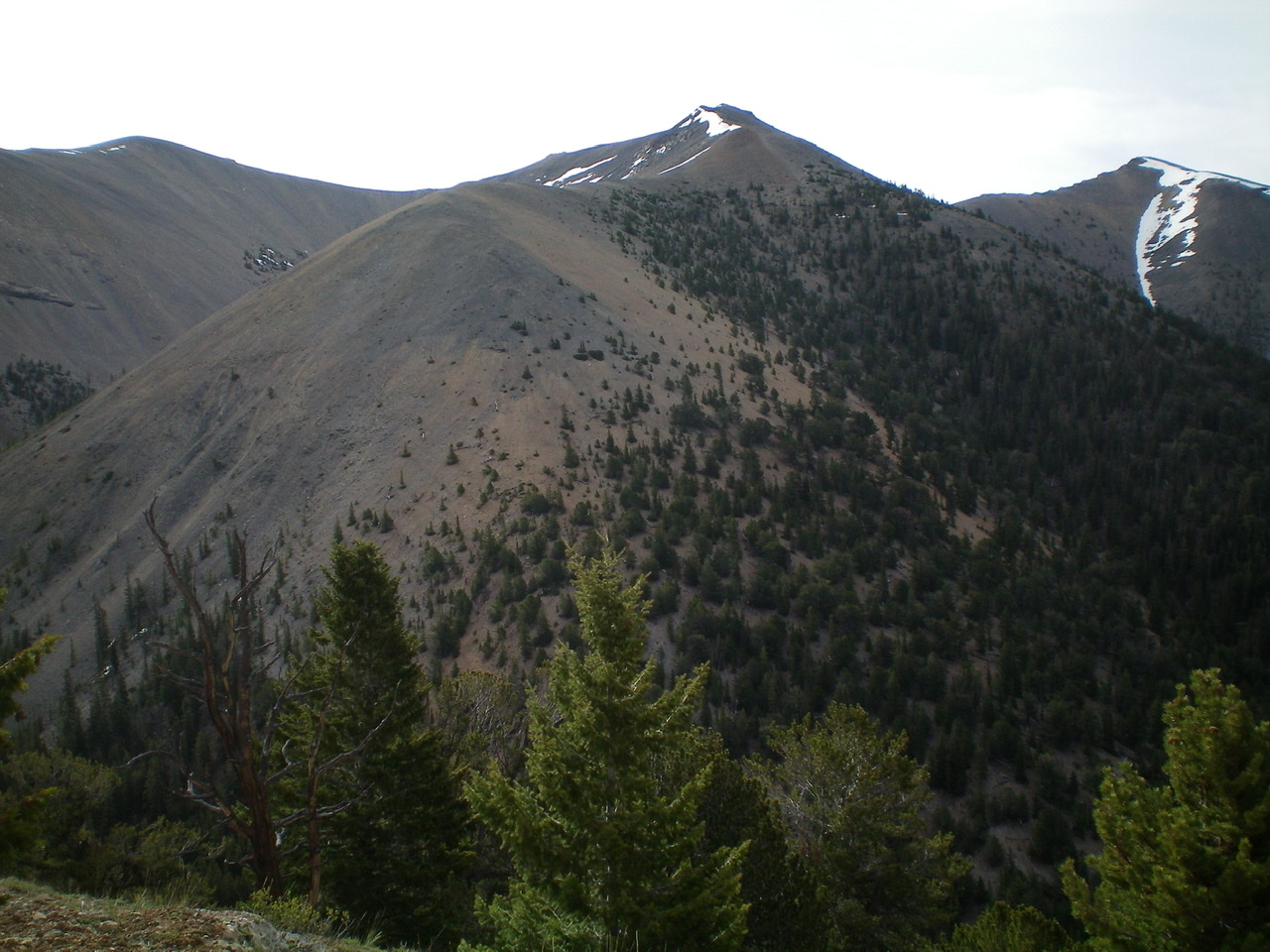
Midway Mountain (summit is just right of center) and the northwest ridge coming straight at the camera and descending steeply to Cedar Run Canyon. This view is from a ridge on the west side of Cedar Run Canyon. Livingston Douglas Photo
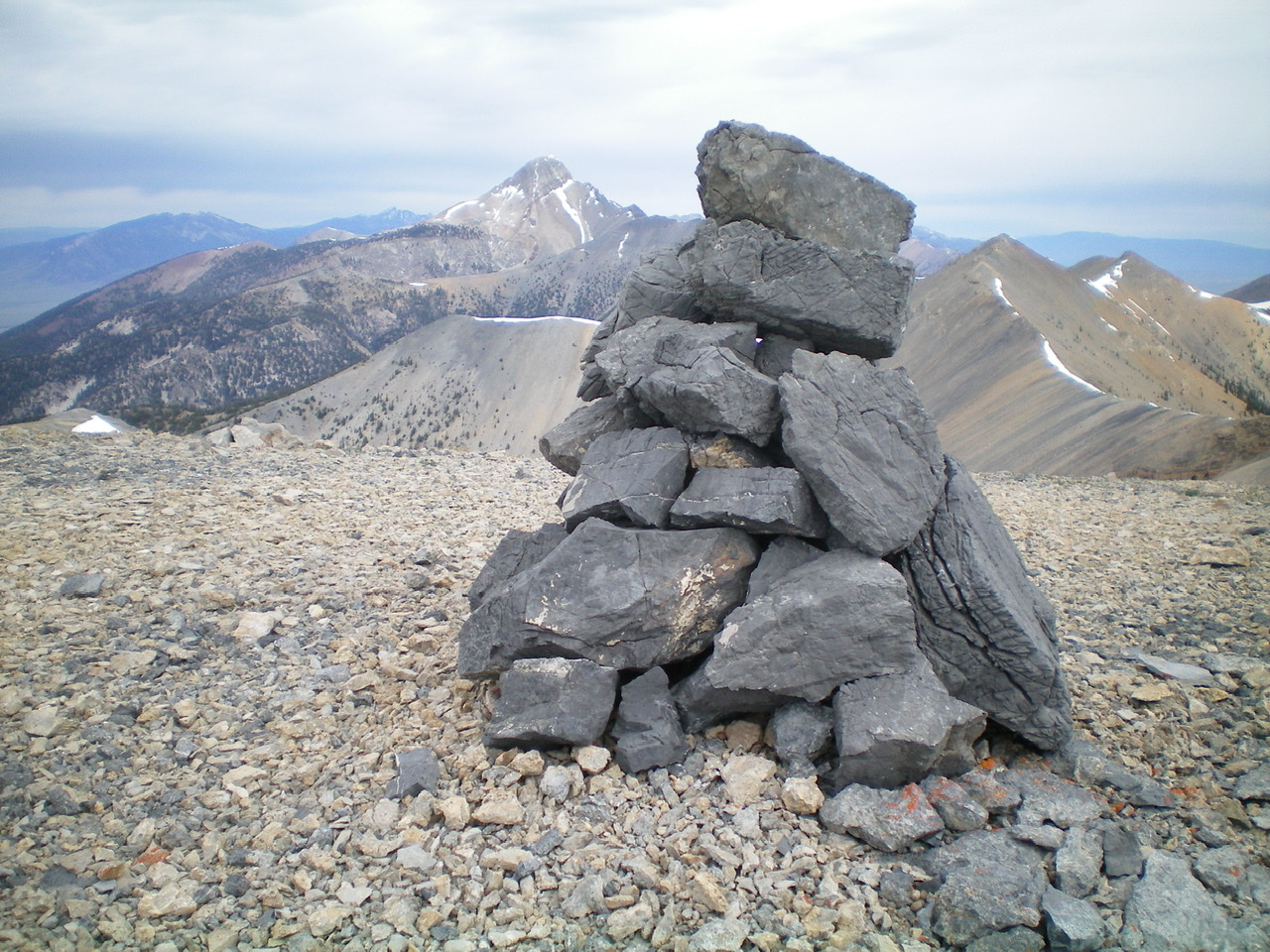
The black-rock summit cairn atop Midway Mountain with Bell Mountain in the background. Livingston Douglas Photo
Additional Resources
Regions: EASTERN IDAHO->Lemhi Range
Mountain Range: Lemhi Range
Longitude: -113.13869 Latitude: 44.18759
