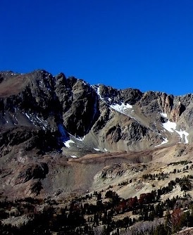
Elevation: 11,312 ft
Prominence: 1,012
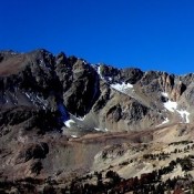
This peak is not in the book. Judi Steciak and Carl Hamke provided the following route information for the peak’s West Ridge Route and Southwest Face Route. See their article on the Missing Eleveners in the Climbing History Section of this site. Brett Sergenian provided the route information for the peak’s South Ridge Route and East Ridge Route. Updated August 2019
Culmination Peak is located two miles southwest of Glassford Peak. USGS Galena Peak
West Ridge, Class 3 by Judi Steciak
From the South Fork of the East Fork of the Salmon River (reached from the Bowery Guard station [(C)(4)(a.1) on Page 242] or Boulder Basin [(A)(8)(a) on Page 241]), gain the West Ridge by climbing up the steep slopes just north of the creek that drains Lake 9855 and follow the ridge to the summit. Bypass towers on the north or south side of the ridge. Combine this with the Southwest Face Route for a loop hike.
Southwest Face, Class 2 by Judi Steciak
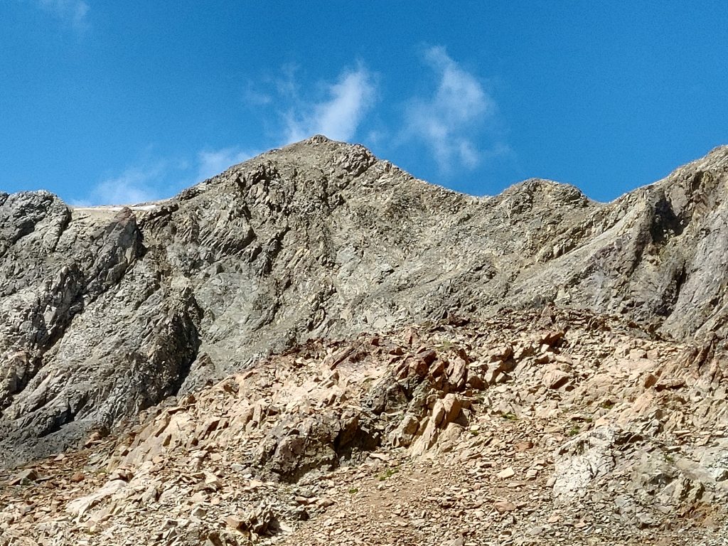
From the South Fork of the East Fork of the Salmon River (reached from the Bowery Guard station [(C)(4)(a.1) on Page 242] or Boulder Basin [(A)(8)(a) on Page 241]), work your way up into the drainage from Lake 9855 by climbing up just south of the creek. You may find a cairned herd path that follows switchbacks up above the gorge between 7,800 feet and 8,000 feet. Walk up the drainage to about 9,800 feet and head northwest up the talus to the summit. Combine this with the West Ridge route for a loop hike.
South Ridge/Northeast Ridge Traverse, Class 4 by Brett Sergenian
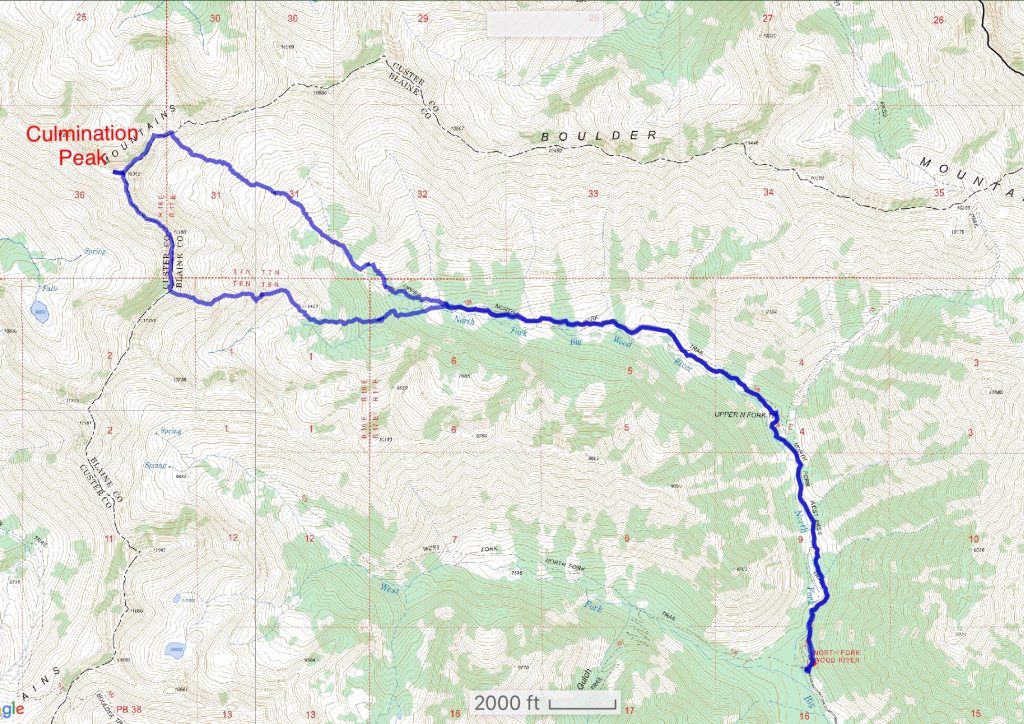
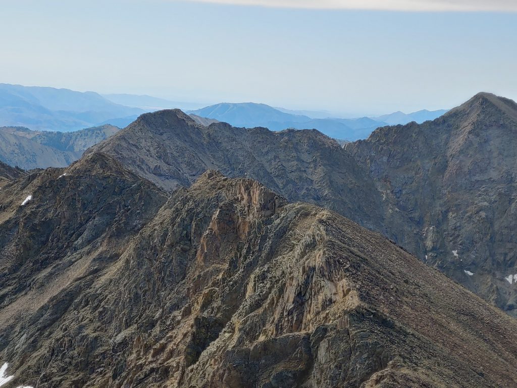
Access the peak from ID-75 and the North Fork Big Wood River [(A)(9) on Page 241]. As shown on my GPS track below, on the ascent I climbed the South Ridge and gained it about a mile north of Down East Peak. Most of the ridge was easy Class 3 except for one brief Class 4 section. On the descent, I followed the East Ridge which was Class 2, although from a distance it looks more difficult. Once the Southeast Face terrain moderated, I left the ridge and descended down the face. My total distance was 13.8 miles with 5,130 feet in elevation gain.
Additional Resources
Regions: Boulder Mountains->EASTERN IDAHO
Mountain Range: Boulder Mountains
Longitude: -114.5152 Latitude: 43.8947
