Elevation: 4,545 ft
Prominence: 285

This peak is not in the book. Published November 2020
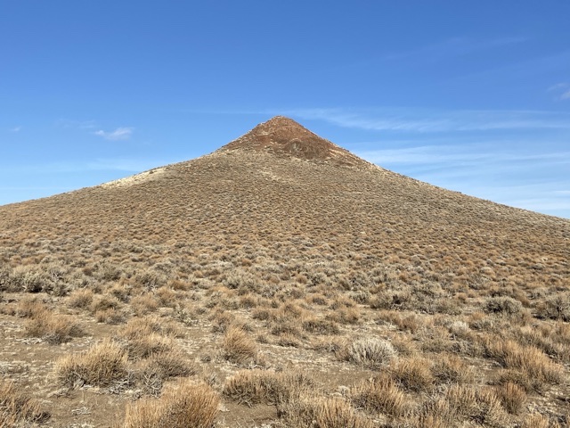
This cone-shaped peak is located south of Grand View, Idaho and northeast of Rough Mountain. It is one of four peaks that bracket Poison Gulch at the far southeastern end of the Owyhee Mountains. USGS Rough Mountain
Access
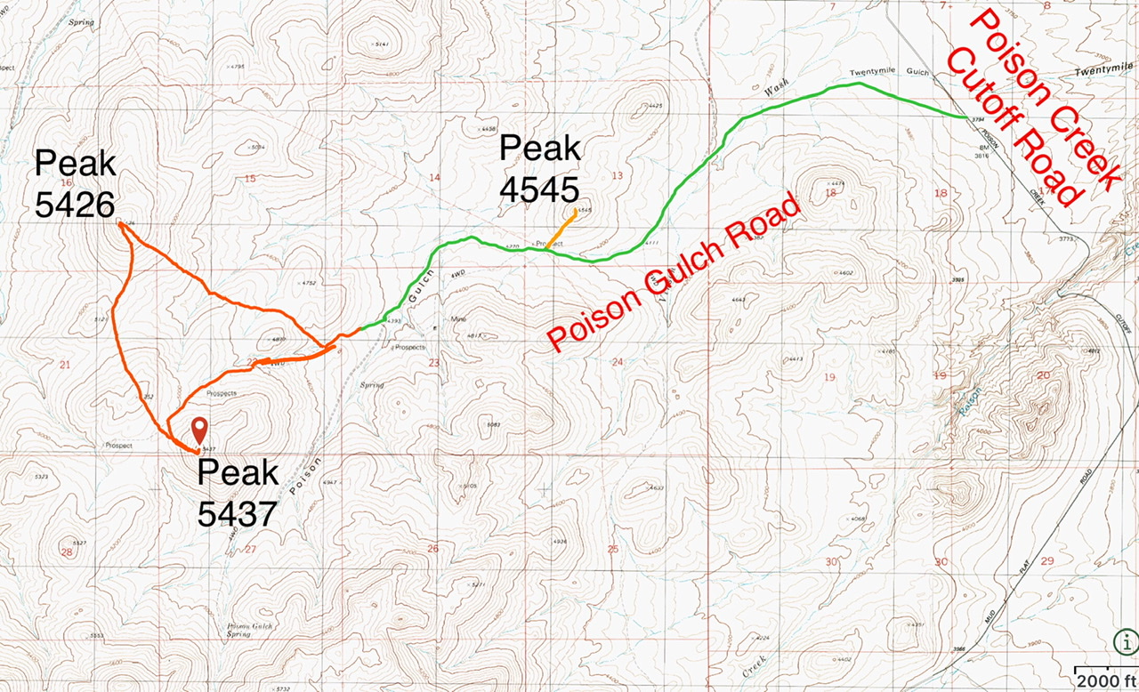
Poison Gulch is accessed from Poison Creek Cutoff Road which, in turn, is accessed from Mud Flat Road. From the junction of ID-167/ID-78 in Grand View, drive south for 2.1 miles and then turn right onto [paved] Mud Flat Road. Follow Mud Flat Road south and then southwest for 15.9 miles to the signed junction for the Poison Creek Cutoff Road. Turn right and follow this well-maintained gravel road south for 2.6 miles. Turn left at this point onto a 2-track 4WD road. This rough road runs west/southwest to Poison Gulch. At roughly three miles, it passes through a fence line just west of Peak 4545. Park in this area.
West Face, Class 2-3
The west face is easily followed to the ragged summit nipple. There are several gullies filled with loose Class 3 rock that can be followed to the summit. The easier and safer approach is to work around the south side of the cliffs and ascend the final 50 feet on the sagebrush-covered slopes.
Additional Resources
Regions: Owyhee Mountains->SOUTHERN IDAHO
Mountain Range: Owyhee Mountains
Year Climbed: 2020
Longitude: -116.28919 Latitude: 42.81349

