Elevation: 4,645 ft
Prominence: 340

This peak is not in the book. Published November 2024
Peak 4645 is a minor hump that is located north-northwest of Norland near the Lincoln/Minidoka County line. This area is a mix of private and public land, so be careful. This climb is entirely on BLM land. USGS Norland
Access
From Exit 208/Burley on I-84, drive north on ID-27 for about three miles to the center of Paul, Idaho and the official end of ID-27 at a signed junction with ID-25 in downtown Paul. Continue north on an unsigned, paved highway all the way to a signed junction with ID-24. This junction is 17.7 miles from I-84. Cross to the north side of ID-24 on [signed] 600W, an excellent gravel road. Reset your odometer here.
At 1.3 miles, reach a [signed] right bend in the road at a “T” junction with 1600N. At 1.6 miles, the road bends left/north onto [signed] 550W. At 2.6 miles, reach a signed junction with 1700N. Go right/east onto 1700N. At 5.6 miles, park along 1700N just past the crest in the road. This parking spot is at 4,565 feet and 42⁰51’51”N, 113⁰42’49”W.
Map Errors
The USGS topo map shows a BLM road heading north then northeast from 1700N up to the south summit of Peak 4645. That road is now a 2-track road that begins on private land and is closed to the public.
South Face, Class 2
The Climb
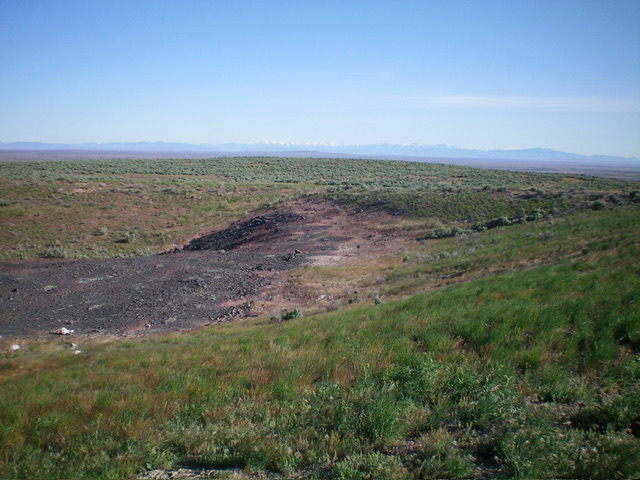
From the improvised parking spot, scramble north up through gapped sagebrush to reach a minor hump. Drop slightly northwest off this hump and bushwhack through easy scrub to the south crater rim (near the south summit and Adel Benchmark (4,641 feet). Follow the east crater rim northeast then north into a grassy bowl. Bushwhack north through easy sagebrush to the high point on the north rim.
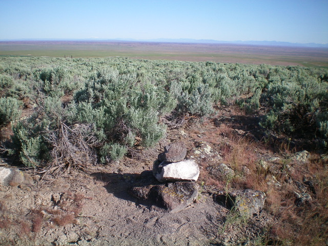
This is the official high point for Peak 4645. It measures only five feet higher than Adel Benchmark (the south summit), according to my altimeter. There was no summit cairn so I built one on the highest ground boulder. The borrow pit (shown on the USGS topo map) is just a crater now.
Additional Resources


