Elevation: 4,700 ft
Prominence: 520

This peak is not in the book.
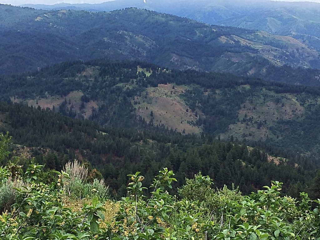
Peak 4700 is a minor Boise Mountains summit located next to Mores Creek and ID-21. The peak is part of land owned by the State of Idaho. Due to its low elevation, the peak can be accessed in early Spring. USGS Warm Springs Point
Access
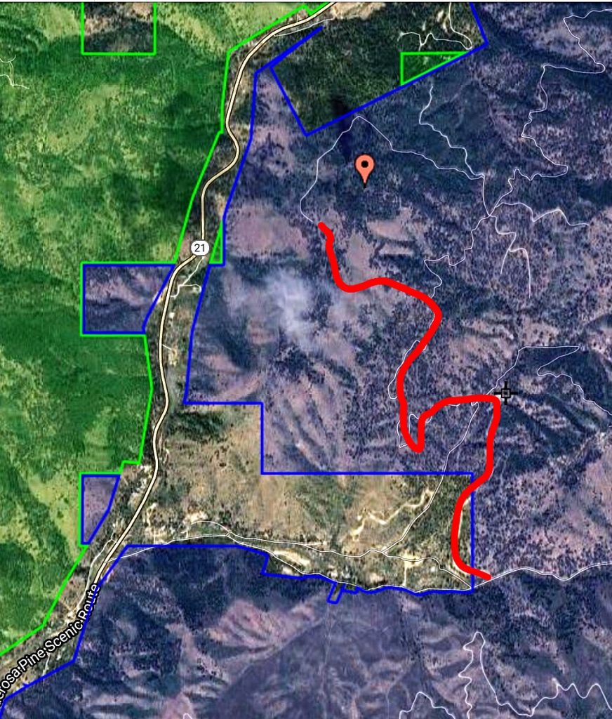
Access the peak by turning off ID-21 onto Thorn Creek Road. Be advised that the Boise National Forest map does not accurately show the side roads in this area. Thorn Creek Road travels through private land past a number of houses for roughly 1.25 miles. Turn left onto [unsigned] Placer Creek Road and follow it uphill to a gate.
South Slopes, Class 2
Park below the gate. Hike up the closed road until you are south of the summit. Leave the road and hike north toward the high point. Be prepared for brushy conditions.

A satellite photo showing the State of Idaho land, private land, and the approximate route to the jump-off point below the summit.
Additional Resources
Regions: Boise Mountains->WESTERN IDAHO
Mountain Range: Boise Mountains
Longitude: -115.9048 Latitude: 43.76578
