Elevation: 5,444 ft
Prominence: 464
This peak is not in the book. There are two routes set out below. Updated November 2019
Peak 5444 is located at the east end of the Danskin Mountains. The peak’s high point is located on the west end on a long east-to-west ridge line. The summit is north of the Tollgate Historical Marker on US-20. The peak can be reached from almost any direction with only small blocks of private property blocking the way in the Tollgate area. USGS Long Tom Reservoir
I snowshoed up the peak from the southwest with Dan Robbins. This route climbs up steep terrain so only do it when there is no avalanche danger. Take US-20 north from Mountain Home. Roughly a half mile past the Historical Marker, you will see a drainage splitting the hillside on the north side of the highway. This is your starting point. There is a wide spot along the highway on its south side about a quarter of a mile farther up. Park at that spot and walk back down the road, cross the guardrail, drop off the embankment and start your climb. Our route was 3.4 miles round-trip with roughly 850 feet of elevation gain.
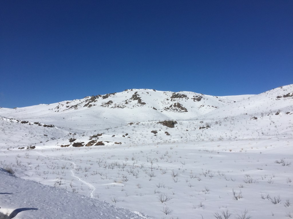
Our route as viewed from US-20. We gained the ridge well east of the summit. The summit is not apparent in this photo.
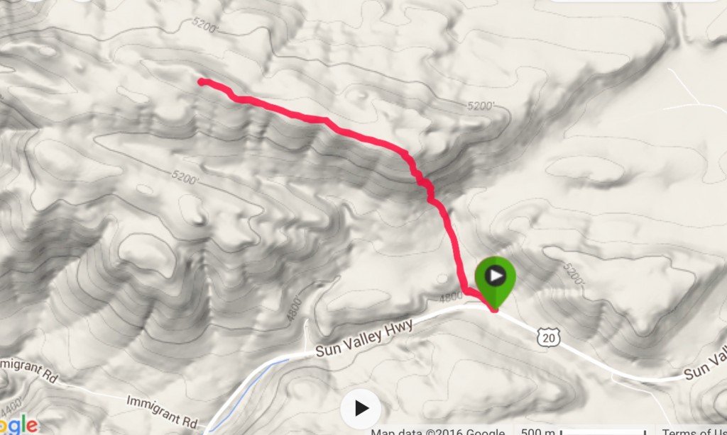
My GPS track. Note there is private property both on the east and west side of our route.
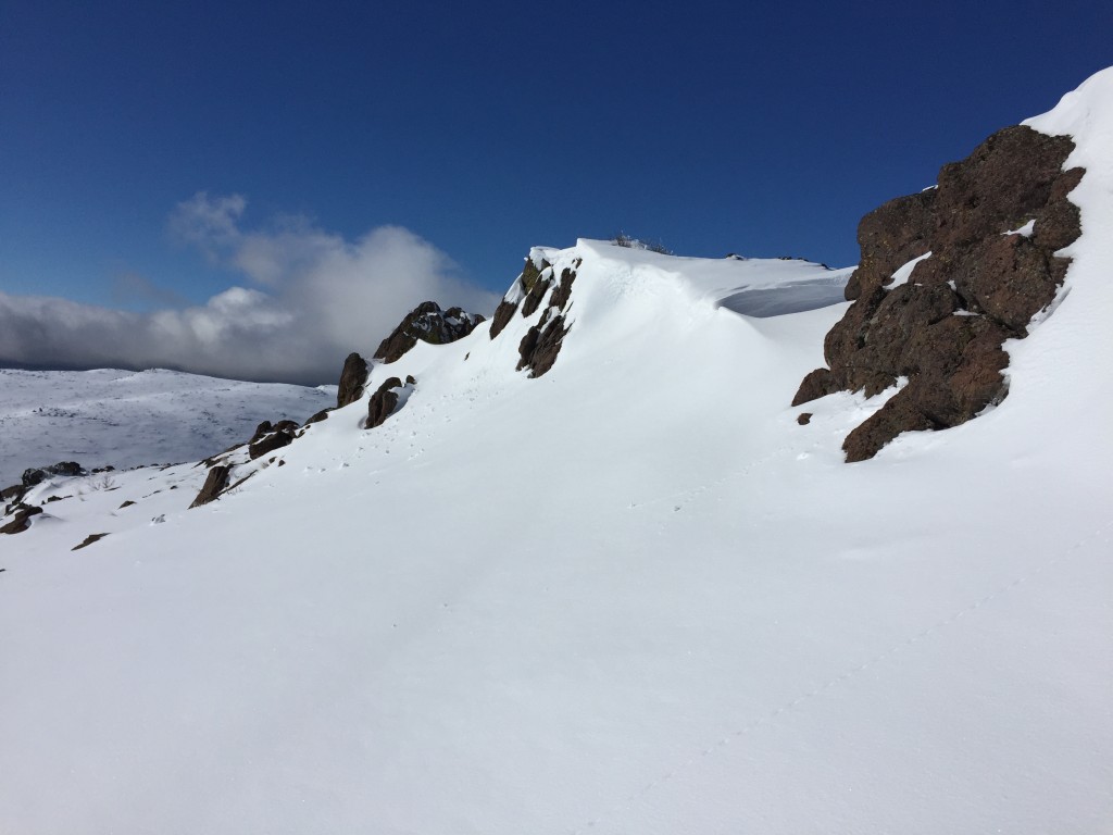
Cliffs just below the summit ridge
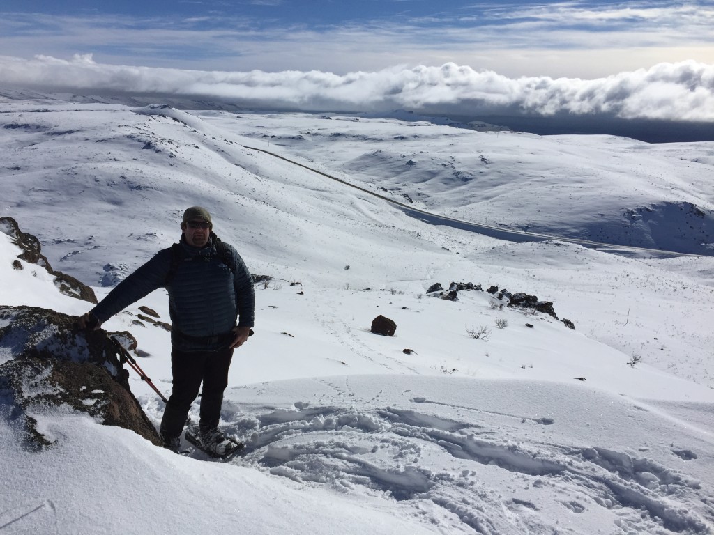
Dan Robbins looking back down our route of ascent
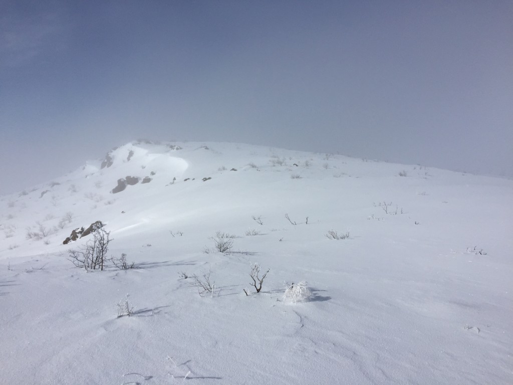
Approaching the summit from the east
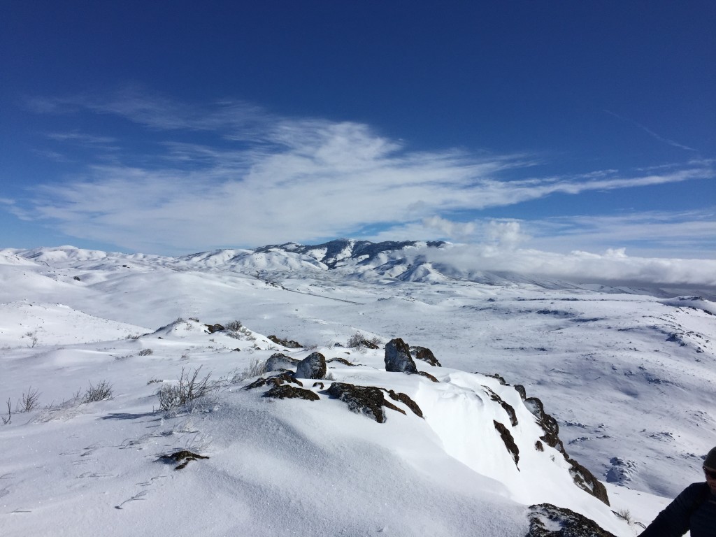
There are great views in every direction from the summit ridge. This view is looking toward Mount Bennett.
South Horseshoe Ridge, Class 2 by Livingston Douglas
Access
Take US-20 north from its junction with I-84 in Mountain Home for 11.0 miles. Turn left onto gravel and signed Immigrant Road. Park at an unsigned road junction 0.1 mile west of US-20, just before reaching a BLM sign. The elevation here is 4,575 feet. Alternatively, you can park in a large turnaround area slightly closer to US-20.
The Climb
From the road junction, cross to the north side of Immigrant Road and follow a faint 2-track jeep road northeast to reach a southeast shoulder. Climb the shoulder initially on a weak 2-track road then scramble up through scrub to reach a section of rocky ridge outcrops and large boulders. Climb the right/east side of this rocky area in a grassy gap between the rocky outcrops to move higher and reach a flattish ridge area. Drop 50 feet northeast to a ridge saddle that has two old tires serving as cattle cisterns.
From this saddle, scramble diagonally upward through grass/scrub in a northwest direction to reach a horseshoe-shaped ridge that will lead to the summit of Peak 5444. Your entry onto this ridge should be just west of Point 5324. Follow this ridge northwest and either cross the head of the drainage or drop modestly to the drainage at an opportune point to cross it and reach the north side of the horseshoe-shaped ridge. This drainage has a decent 2-track jeep road coming up through it and crossing the saddle at the head of the drainage.
Once up on the summit ridge northeast of the saddle at the head of the drainage, scramble east over a minor ridge hump. Then drop slightly to a minor gully and climb N to reach the summit crest area. From here, climb east over a rocky ridge point and continue east to the 2nd [rockier] hump which is the summit of Peak 5444. The summit is a collection of large boulders with some scrub mixed in. Though the peak has been climbed previously, there were no signs of previous ascent.
Overall, the terrain on this climb is entirely open, mostly reasonable sagebrush/grass, with a few rocky sections and some ground talus/boulders in a few areas. It’s not a bad scramble and the summit isn’t too far from Immigrant Road. The round-trip distance is about 4 miles with 1,175 feet of elevation gain.
Additional Resources
Regions: Boise Mountains->Danskin Mountains->WESTERN IDAHO
Mountain Range: Boise Mountains
Year Climbed: 2016
Longitude: -115.58659 Latitude: 43.26489