Elevation: 5,502 ft
Prominence: 315
This peak is not in the book. Published November 2024
Peak 5502 is a hidden peak that is located northwest of Howe in the Howe Hills. It is easily reached on BLM land from the north. USGS Howe
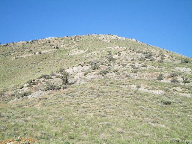
Peak 5502 as viewed from the valley floor to its north. The summit hump is in dead center. Livingston Douglas Photo
Access
From ID-33 in Howe, drive northwest on [paved] Little Lost River Highway for 2.6 miles to a signed junction with 3720N (Hurst Creek Road on some maps). Turn left/west onto [paved] 3720N and drive 1.1 miles to a signed junction with 1800W (Junction 4926 on the USGS topo map). Continue west on 3720N through a cattle fence and park at the base of an old 2-track road heading left/south. This parking area is at 4,926 feet and 43⁰48’59”N, 113⁰03’14”W. While there is a lot of private ranch land in this area, this climb is entirely on BLM land.
Map Errors
The USGS map shows a side road heading southwest from the 2-track road heading south down the east side of Peak 5502. That side road does not exist.
East Shoulder, Class 2
The Climb
From the road junction, hike south then south-southeast on an old 2-track road for just over ½ mile to approach the toe of the [obvious] east shoulder. Leave the road and bushwhack southwest through gapped sagebrush with some easy open areas and cattle trails to reach the short scrub of the shoulder. Scramble west-southwest up the grass/scrub and minor rocky outcrops on the shoulder to reach the rocky, bare summit. The high point is obvious and had a torn-down summit cairn which I rebuilt. The middle hump of this three-humped peak is the obvious high point.
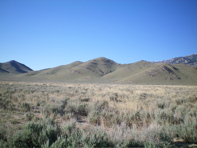
Looking up the east shoulder midway up. The terrain is a mix of short scrub and embedded rock strata. Livingston Douglas Photo
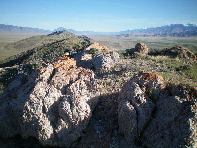
The summit boulders atop Peak 5502, looking north. Livingston Douglas Photo
Northeast Face, Class 2
The Descent
From the summit, briefly descend the east shoulder. Leave the shoulder high up to descend a sub-ridge heading northeast, a more direct line to the road junction. There is more sagebrush-bashing on this descent route but it goes quickly thanks to gaps and thinning by heavy cattle grazing in this area. Finish with less than a half-mile of road hiking north to the road junction and your awaiting vehicle.
Additional Resources
Regions: EASTERN IDAHO->Lost River Range
Mountain Range: Lost River Range
Longitude: -113.05845 Latitude: 43.80363