Elevation: 5,613 ft
Prominence: 313

This peak is not in the book. Published November 2024
Peak 5613 is a minor hump that sits between Burnett Canyon and Trail Creek, just east of the Malad River in the Bannock Range in the southern reaches of Idaho. It is located along I-15 just north of the ID/UT border. USGS Henderson Creek
Access
From Exit 3/Woodruff on I-15 (near the ID/UT border), drive 0.1 mile east to the frontage road on the east side of I-15 (signed as 2000E). There is a Chevron gas station at this junction. From this junction, drive 0.9 miles south on the good gravel/dirt road to a gated closure and a trailhead parking area alongside the road. Park here (4,565 feet; 42⁰01’24”N, 112⁰12’20”W).
Northwest Ridge, Class 2
The Climb
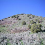
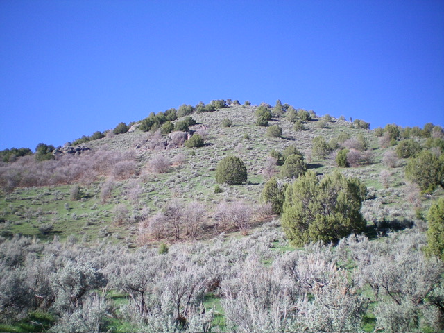
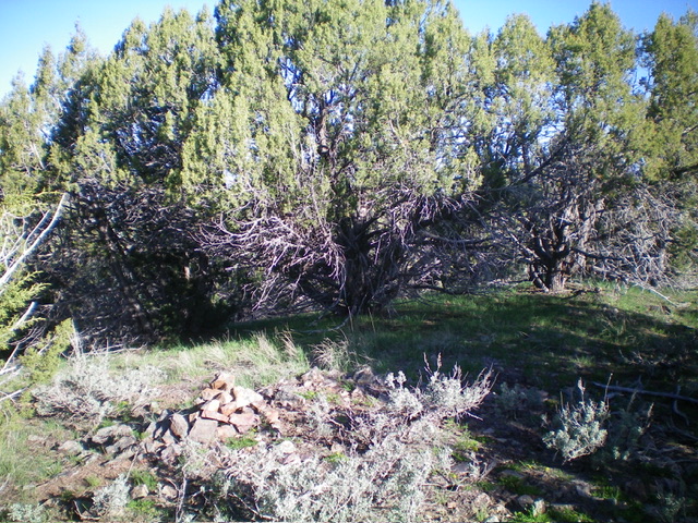
From the trailhead, hike east on a steep-ish ATV trail that crosses private property (public access allowed) for 0.8 miles to the Caribou National Forest boundary (unsigned) at a fence row/gate. Leave the ATV trail here, cross a stream, and scramble southeast up a steep grass/scrub slope to the toe of the [initially] rounded northwest ridge. This slope has numerous cattle trails that work diagonally up the slope, which really help with the ascent. The slope eases and the terrain becomes mostly field grass. Higher up, junipers join the mix. The ridge junipers are a bit tedious but can be skirted as necessary. Follow the [now better-defined] ridge east then southeast then south to the small summit area. The summit has a decent cairn and partial views.

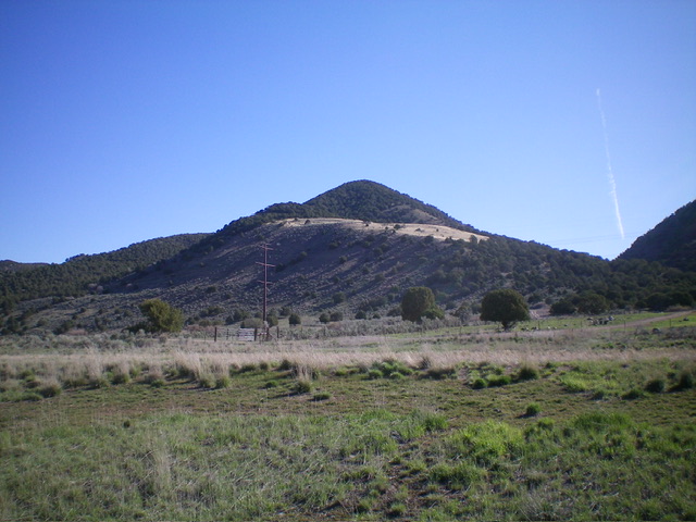
The northeast face of Peak 5613. The summit is in dead center. This was my descent route. Livingston Douglas Photo
Northeast Face, Class 2
The Descent
From the summit, descend north on the ridge (briefly) then drop northeast down the steep-ish face in thick sagebrush (with loose underlying scree/gravel) to reach the gully on the valley floor. Stay left/south of a marshy feeder stream (not shown on maps) to quickly return to the ATV trail. You must find a place to jump the stream to reach the trail. The ATV trail crosses to the north side of a stream in Burnett Canyon and avoids a much deeper canyon crossing farther to the west.
Additional Resources
Regions: Bannock Range->SOUTHERN IDAHO
Mountain Range: Bannock Range
Longitude: -112.1894 Latitude: 42.0180

