Elevation: 5,660 ft
Prominence: 320
This peak is not in the book. Published April 2020
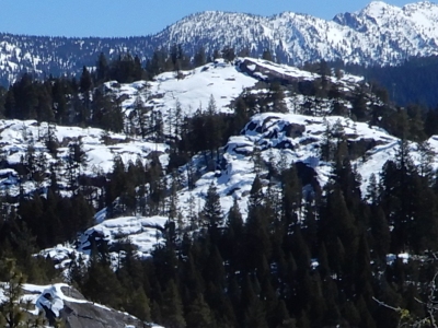
Snowdon Rock is located between Little Payette Lake and Browns Pond. It is just south of Lick Creek/Yellow Pine Road. There is a lot of exposed granite on this peak which you must scramble over to reach the top. This peak is located on State of Idaho Land. John Platt reports: “It’s basically a big granite dome. Excellent views southward to Lake Fork Creek. Slabs and ledges all over the place the invite wandering, but beware of some steep and/or exposed areas. The easiest and safest route is on sort of the Southeast Side.“ See John Platt’s trip report linked below for additional details. USGS Fitsum Summit
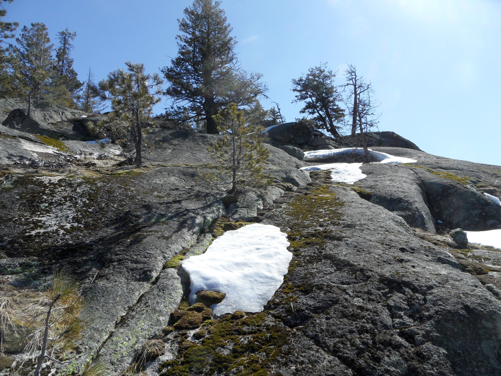
The Southwest Slopes leading to the top. John Platt Photo
Access
Follow Lick Creek/Yellow Pine Road (FH-48) north from McCall past Little Payette Lake. Find a parking spot on the west side of the peak.
Southeast Slopes, Class 2+
This route uses several ramps to overcome the granite walls that you encounter. John relates: “The route I use to access it is to follow what I think is the original Lick Creek Road by going straight at the first switchback. Then head up right/south into a notch between Snowdon Rock and another dome directly west of there.” See John Platt’s trip report linked below for additional details.
Additional Resources
Mountain Range: Western Salmon River Mountains
Longitude: -115.98959 Latitude: 44.91719