Elevation: 5,681 ft
Prominence: 501

This peak is not in the book. Published November 2024
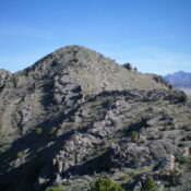
Peak 5681 is the northernmost of the Howe Hills. Unlike the other Howe Hills, Peak 5681 is quite rugged and rocky on its eastern ramparts. It can be climbed with relative ease via its east gully and south ridge. USGS Howe
Access
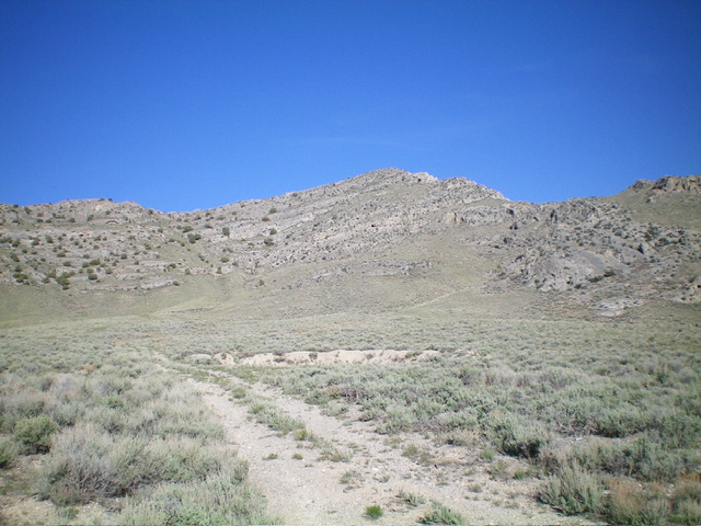
From ID-33 in Howe, drive northwest on [paved] Little Lost River Highway for 2.6 miles to a signed junction with 3720N (Hurst Creek Road on some maps). Turn left/west onto [paved] 3720N. Reset your odometer here. At 1.1 miles, reach a signed junction with 1800W (Junction 4926 on the USGS topo map). Continue west on 3720N through a cattle fence and follow the road as it tracks the left/side of a fence row. The road bends sharply right/north to continue following the outside of this fence row. At 2.4 miles, find an old 2-track heading left/west. Park at the base of this old road (4,935 feet and 43⁰49’32”N, 113⁰04’16”W. While there is a lot of private ranch land in this area, this climb is entirely on BLM land.
Map Errors
The USGS map shows Road 3720N gradually bending northwest after Junction 4926. However, the road actually heads straight west then makes a sharp turn right/north. There is no gradual road bend. By staying outside the fence row, the road remains on BLM land the entire way.
East Gully/South Ridge, Class 2+
The Climb
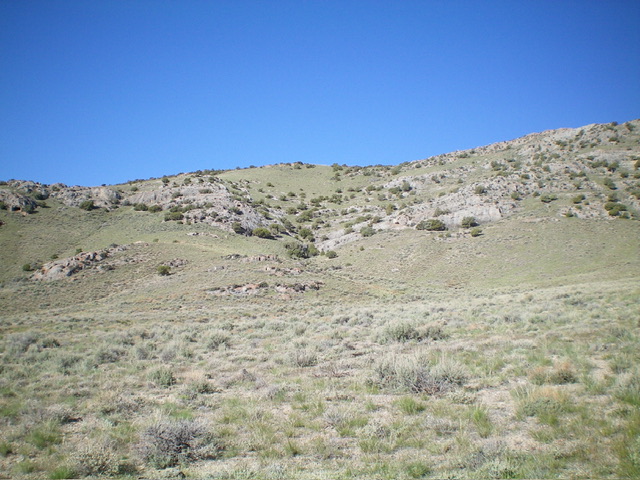
From the road junction, hike west for a short distance up the old 2-track then leave it to angle diagonally left/southwest to reach the mouth of the easy gully (as compared to the narrower, steeper, dubious gully to the right-ish/northeast) that leads up to the south ridge. Skirt left/south around a chockstone early in the gully climb. Scramble up grass and some face rock (Class 2+) to reach nice, open, short grass higher up and more of a face climb to the south ridge.
Angle right/west as you approach the south ridge. Once on the ridge, scramble north up the narrow, undulating, rocky ridge (Class 2+), skirting some ridge outcrops as necessary on easy grass or game trails. Downclimb a few easy ridge outcrops to continue a steady advance. The high point is obvious. I rebuilt the torn-down summit cairn. There is triangulation wiring and a slightly lower cairn nearby. A slightly easier route is via the south ridge from about 5,000 feet just south of Point 5333. Leave Road 3720N at a parking area at the sharp bend previously mentioned. The east gully is a shorter but harder/steeper route.

The east gully (dead center) and the south ridge (skyline) of Peak 5681. This was my ascent route. Livingston Douglas Photo
Additional Resources
Regions: EASTERN IDAHO->Lost River Range
Mountain Range: Lost River Range
Longitude: -113.0799 Latitude: 43.8275

