Elevation: 5,740 ft
Prominence: 320

This peak is not in the book. Livingston Douglas added a new, much more demanding route for this peak. Updated November 2023
Peak 5740 is located a mile north of Mount Heinen. USGS Arrowrock Reservoir NE
Access and North Slopes Route, Class 1
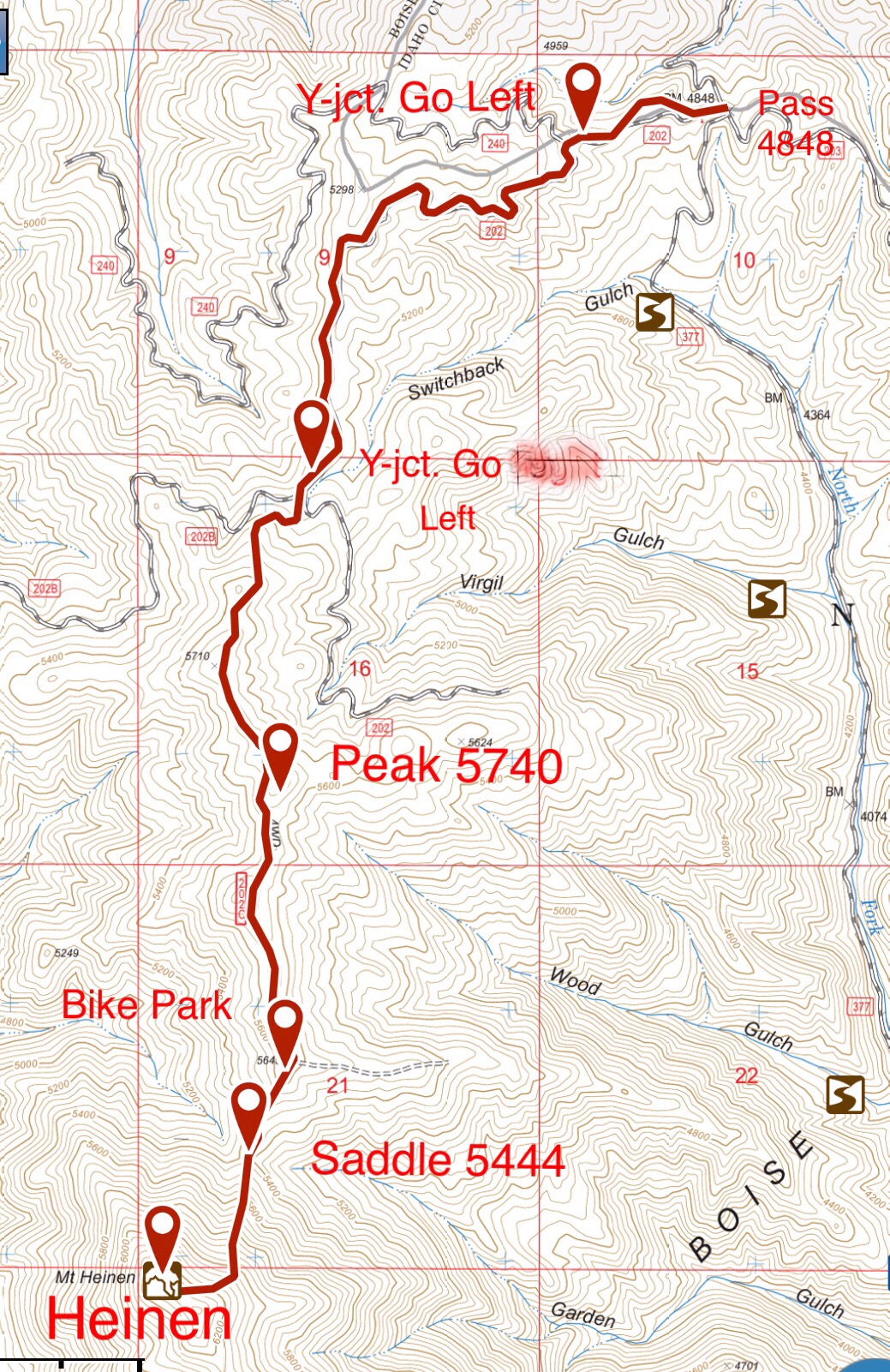
If you climb Mount Heinen by the North Route, you can easily reach this peak’s summit which is just east and just above FS-202C. From this road, a two-track climbs up to the summit. Strong mountain bikers can ride a mountain bike all the way to the top. Others can walk the last 50 yards from FS-202C to the bald summit. See the Mount Heinen page for complete directions.
South Ridge by Livingston Douglas
Access
From ID-21 at the bridge crossing of Lucky Peak Reservoir, go right/east onto FSR-268/Middle Fork Road and drive 15.2 miles to a signed junction with FSR-377/Cottonwood Creek Road. Turn left/north onto FSR-377 and drive 2.2 miles to the Cottonwood Creek trailhead. Park here at 3,690 feet and 43⁰39’34”N, 115⁰50’06”W. When combined with nearby Mount Heinen (6,336 feet), this 2-peak adventure covers 9.0 miles with 3,475 feet of elevation gain round trip.

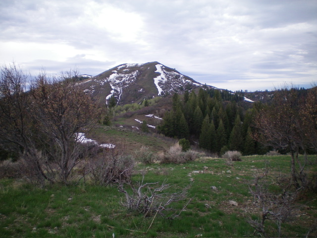
Peak 5740 (in mid-ground) as viewed from the north ridge of Mount Heinen to its south. Livingston Douglas Photo

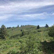
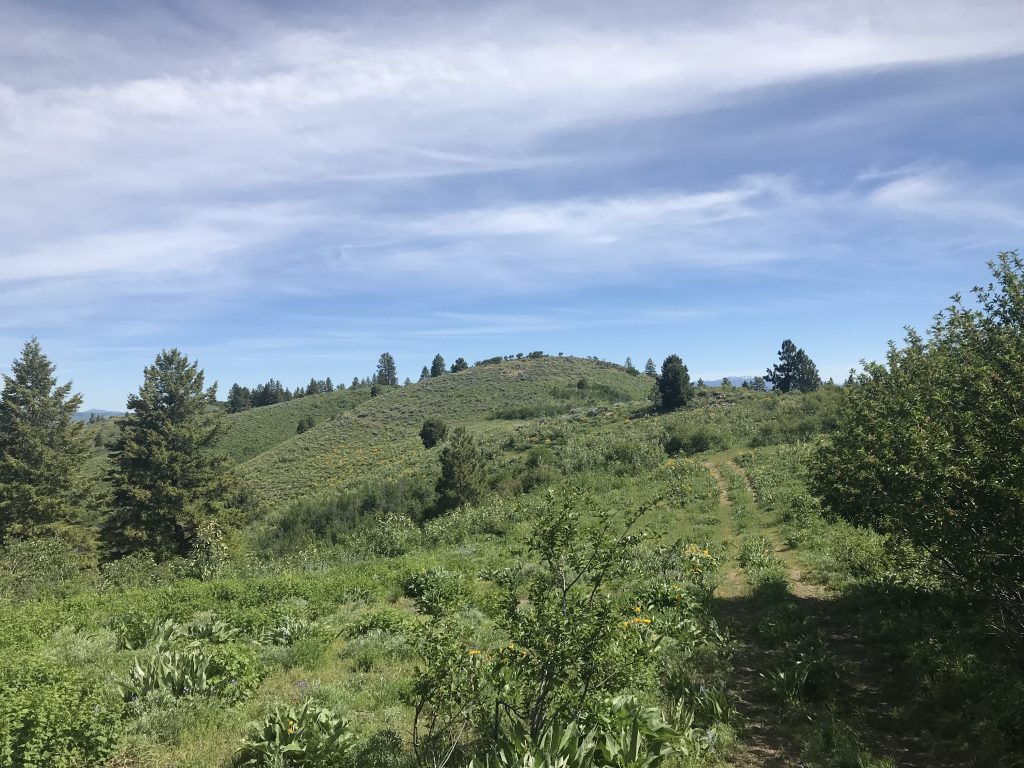
Peak 5740 (right of center in mid-ground) and Mount Heinen (dead center in distance) as viewed from the “official” south summit of Peak 5740. Livingston Douglas Photo
Map Errors
The USGS topo map shows a trail on the east spur on its final ½ mile but no trail preceding that point. Exactly the opposite is true. There IS a use trail from low on the spur all the way to about ½ mile from the top of the spur. The final ½ mile up the east spur has no trail.
South Ridge, Class 2
The Climb
From the Cottonwood Creek trailhead, hike/drive about 100 yards north up FSR-377 and cross [raging] Cottonwood Creek on a bridge. After hiking/driving another 100 yards up FSR-377, stop at a side road (left) that has a gate (posted) and leads to a private cabin. The first 50 feet of this side road (to the gate) is on National Forest land. Find an orange-flagged use trail that heads steeply left/southwest up to the crest of the east spur ridge. This spur is located on the north side of Garden Gulch. The use trail is mostly loose dirt, even on the ridge crest itself.
Once on the ridge crest, head right/northwest and follow the flagged trail all the way to the main north-south ridge crest and an unsigned “T” junction with the remnants of an old jeep road on the ridge crest. The final ½ mile of the spur ridge has no trail (contrary to what is shown on the USGS topo map). Weave through the ridge willows as necessary. This is not difficult. The east spur tops out at an unsigned junction with an old 2-track road that runs along the primary north-south ridge that connects Mount Heinen with Peak 5740 to the north.
Follow the old 2-track road northward along the ridge crest until the road is about to skirt the right/east side of the south/true summit of Peak 5740. Leave the old road and scramble northwest to the top. The south summit has some old posts laying on the ground but no summit cairn. The north summit is a good 0.3 miles away. I investigated the north summit and it appears, and is, slightly lower than the south summit. However, LOJ places the high point for Peak 5740 on the north summit. That is incorrect but stand on both summits just to be sure. The north summit has nothing atop it. If you plan to also climb Mount Heinen, head south on the ridge all the way to the 5,420-foot connecting saddle. Refer to the Mount Heinen posting for more details on how to climb the North Face Route from there.
Additional Resources
Regions: Boise Mountains->WESTERN IDAHO
Mountain Range: Boise Mountains
Year Climbed: 2006, 2007, 2008, 2009, 2010, 2013, 2014, 2020, 2021
Longitude: -115.87039 Latitude: 43.67939

