Elevation: 5,792 ft
Prominence: 318

This peak is not in the book. Published November 2023
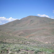
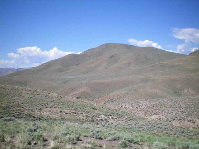
Peak 5792 is a sagebrush-covered peak that sits above the Salmon River just northwest of Ellis. It is an easy scramble from Hat Creek Road to its east. It is most easily climbed in combination with Peak 5940 to its north. USGS Ellis
Access
From US-93 at Ellis, drive 0.8 miles north on US-93 to a signed junction for Deer Creek. Turn left/west off US-93 and drive across the bridge over the Salmon River to a “T” junction. Go right/north here onto [unsigned] Hat Creek Road and stay left at an immediate junction (a BLM campground road goes to the right). Continue 0.6 miles north on Hat Creek Road to a nice pullout in short grass at the base of the east ridge of Peak 5792.
This pullout is 0.8 miles from US-93 and is at 4,730 feet and 44⁰42’44”N, 114⁰02’15”W. Hat Gulch Road is narrow but is maintained all the way to its junction with Dry Gulch Road. This is the first leg of a 3-peak adventure that includes Peak 5792, Peak 5940, and Peak 6631. It covers 7.5 miles with 3,675 feet of elevation gain round trip.
East Ridge, Class 2
The Climb
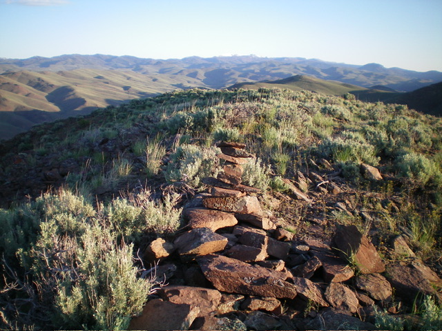
From the roadside pullout, scramble west up a ridge crest of easy, scattered sagebrush with a firm scree/gravel base to reach the summit of Peak 5792. The summit has a decent cairn atop it.
Northwest Ridge/North Face, Class 2
The Descent
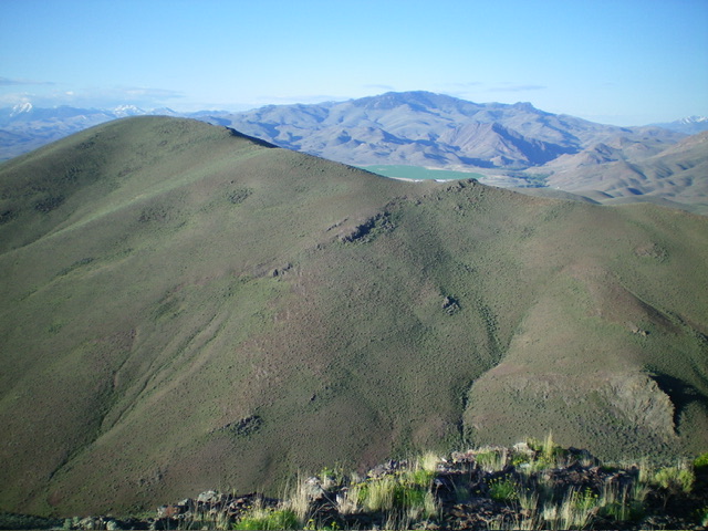
From the summit, descend north-northwest on the ridge briefly then descend north down an easy shoulder/face. Head directly at Point 5924, staying just left/west of the steep south face area to cross a dry gully. This gully terminates the first leg of today’s 3-peak adventure. Peak 5940 is up next.

Peak 5792 (summit is left of center) and its north face (dead center), my descent route. Livingston Douglas Photo
Additional Resources
Regions: Eastern Salmon River Mountains->Salmon River Mountains->Southeast Corner Peaks->WESTERN IDAHO
Mountain Range: Eastern Salmon River Mountains
Longitude: -114.0516 Latitude: 44.7124

