Elevation: 5,792 ft
Prominence: 332

This peak is not in the book. Published November 2023
Peak 5792 is a scrub hump that sits on the south side of Badger Basin in the Beaverhead Mountains northeast of Salmon, ID. It is easily reached via BLM-107 and its north ridge. USGS Badger Spring Gulch

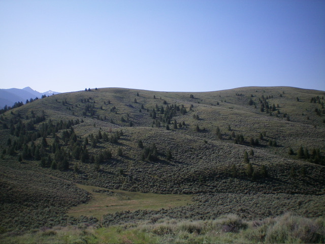
Peak 5792 as viewed from the northwest. The summit hump is right of center. The north ridge (my ascent route) is the skyline. Livingston Douglas Photo
Access
From the Sinclair Gas Station on US-93 at the north end of Salmon, ID, drive north on US-93 for 4.0 miles to a signed junction with Carmen Creek Road. Drive east then northeast on [paved] Carmen Creek Road to a “Y” junction. Go left/north here and drive 3.1 miles to a signed junction of BLM-107 and BLM-212. Park in a grassy pullout at this junction (5,100 feet; 45⁰19’02”N, 113⁰48’37”W). This is the first leg of a 2-peak adventure that includes Peak 5792 and Peak 5820. It covers 4.0 miles with 1,475 feet of elevation gain round trip.
Map Errors
There are several ATV trails in this area that are not shown on the USGS topo map.
North Ridge, Class 1
The Climb
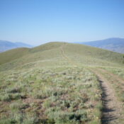
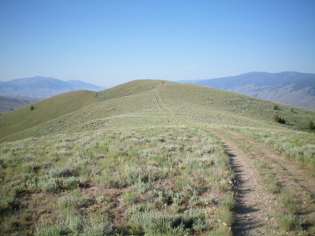
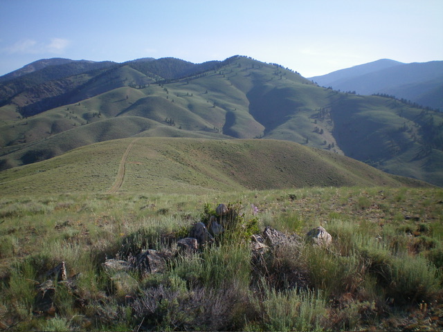
From the road junction, hike (or drive) north then northwest up BLM-107 (shown on the USGS topo map) for about ½ mile to a signed junction with BLM-113 on a crest/saddle. Go left/south onto steep BLM-113 (shown on the USGS topo map) up to a false summit hump. Continue south up the road as it drops 30 feet to a saddle then heads south up a moderate slope to reach the summit area of Peak 5792. Bushwhack 30 feet east in easy scrub to reach the bare summit. There is no summit cairn and no loose rocks with which to build one.
From the summit, return north on BLM-113 to its junction with BLM-107. Follow BLM-107 left/west down 200 vertical feet to a small meadow and the base of an unofficial, seldom-used 2-track that heads northwest up to the summit of Peak 5820. This meadow is at about 5,300 feet and is the low point in the traverse from Peak 5792 to Peak 5820. It concludes the first leg of today’s 2-peak adventure. Peak 5820 is up next.
Additional Resources
Regions: Beaverhead Range->EASTERN IDAHO
Mountain Range: Beaverhead Range
Longitude: -113.8228 Latitude: 45.3145

