Elevation: 5,825 ft
Prominence: 935
This peak is not in the book. I have attached two photos by Rick Baugher to the end of Livingston’s narrative. Updated January 2023
East Hills HP is a ridgeline located southeast of Declo. Its summit offers an excellent view of the middle section of the Snake River Plain. It has a steep ATV trail leading up its west ridge and another 2-track leading along the ridge crest to the small, rocky summit. There is a “trailhead” parking area to boot. USGS Albion
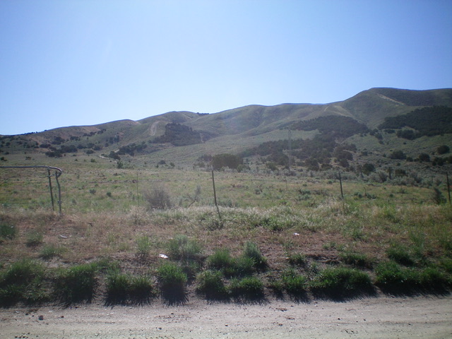
East Hills HP as viewed from the parking area to its west (start of hike). The summit hump is just left of center. Livingston Douglas Photo
Access
From the junction of ID-77 and ID-81 in Declo, drive south on ID-77 for 2.1 miles to a signed junction with 300S Road. Turn left/east onto 300S and drive east for 1.9 miles to a trailhead parking area (4,575 feet). Park here.
Northwest Shoulder/West Ridge, Class 1
The Climb
From the parking area, hike east up a steep ATV trail. You will cross a set of power lines very early on (with a crossing service road under them) and continue straight/east at an unsigned junction with another ATV trail that heads right/south. Ignore the other ATV trail. The original ATV trail initially follows a gully then climbs very steeply up onto a shoulder that bends right-ish/southeast. This is the northwest shoulder. The shoulder dead-ends at a saddle on the summit ridge (the west ridge) and an unsigned “T” junction. Go left/northeast here and follow a 2-track road along the ridge crest northeast then east. When the ridge reaches a patch of junipers, the 2-track splits. Go right/south here to climb up through the juniper forest to reach the rocky, small summit area. The summit and high summit ridge offer splendid views of Heyburn and Burley.
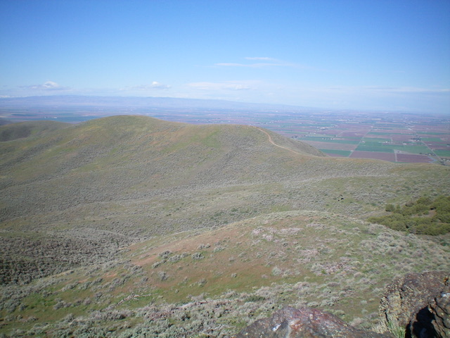
Looking down at the gentle, open southwest ridge from the summit. Livingston Douglas Photo
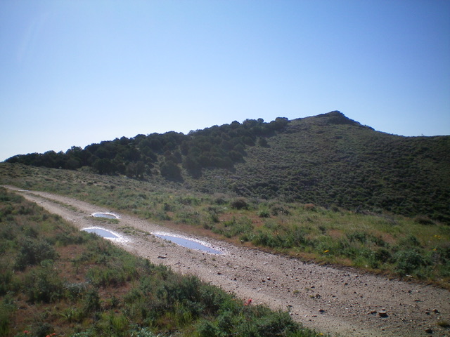
The summit hump of East Hills HP (right of center) as viewed from the 2-track road on the west ridge. The junipers help block the wind on a gusty day. Livingston Douglas Photo
The open, rocky summit of East Hills HP. Livingston Douglas Photo
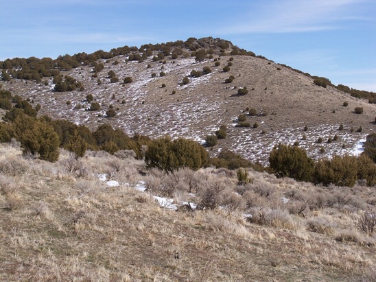
Follow the ridge of East Hills east into hardpack snowcover to reach the summit of East Hills HP. Rick Baugher Photo
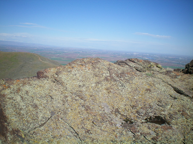
Summit view northwest to the Snake River and the Burley area (3/5/13).
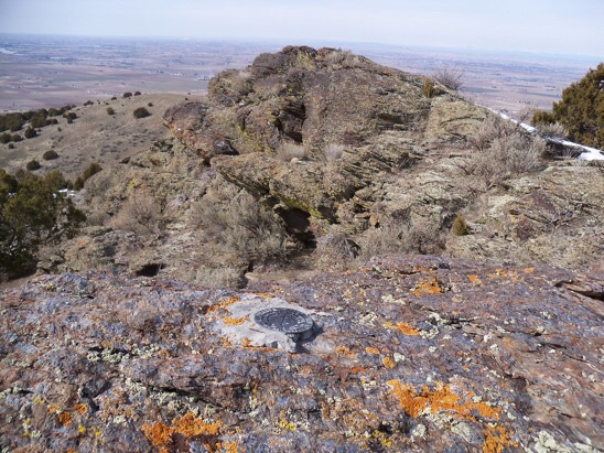
In place, a US Coast & Geodetic Survey benchmark tablet stamped ‘Declo’ and dated 1950. On the side of this mountain overlooking Declo High School is a large painted letter ‘D’. Rick Baugher Photo
Additional Resources
Regions: East Hills->SOUTHERN IDAHO
Mountain Range: Albion Range
Longitude: -113.56489 Latitude: 42.48419