Elevation: 5,895 ft
Prominence: 298

This peak is not in the book. Published November 2024
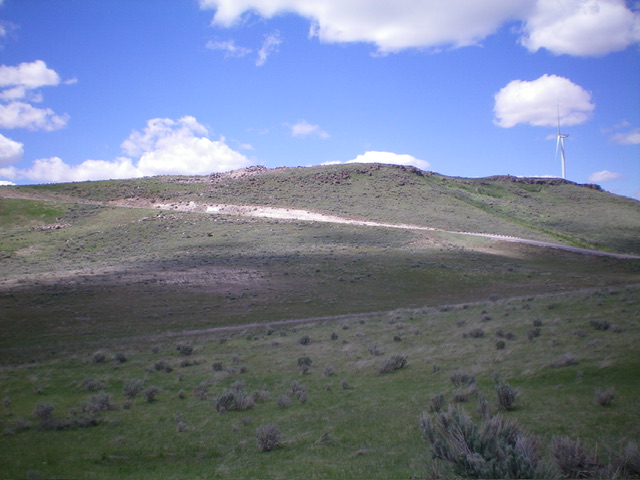
Peak 5895 is an open ridge hump located southeast of American Falls and just west of Fort Hall Indian Reservation Land. Thanks to LiDAR, this peak recently lost its status as a ranked summit. It is positioned in the land of many windmills and has a service road to near its summit. USGS Sawmill Creek
Access
From Exit 40/American Falls on I-86, drive southwest on [signed] Pocatello Street to Bannock Avenue. Drive south on Bannock Avenue for a few blocks to a road fork. Go left/southeast onto [signed] Sunbeam Road. Reset your odometer here. At 4.1 miles, reach a “T” junction. Go left/east. At 4.2 miles, reach another road junction. Go right/southeast onto Garden Road (it is NOT the East Fork Sunbeam Road as labeled on the USGS topo map).
At 7.1 miles, reach a sharp right/south bend in the road and an unsigned road junction. Go left onto a service road (not shown on maps). At 8.3 miles, turn right/northeast at a “T” junction on the ridge crest. At 8.5 miles, park along the service road, just below the cairned summit. This spot is at 5,884 feet and 42⁰44’04”N, 112⁰44’58”W.
West Face, Class 2
The Climb
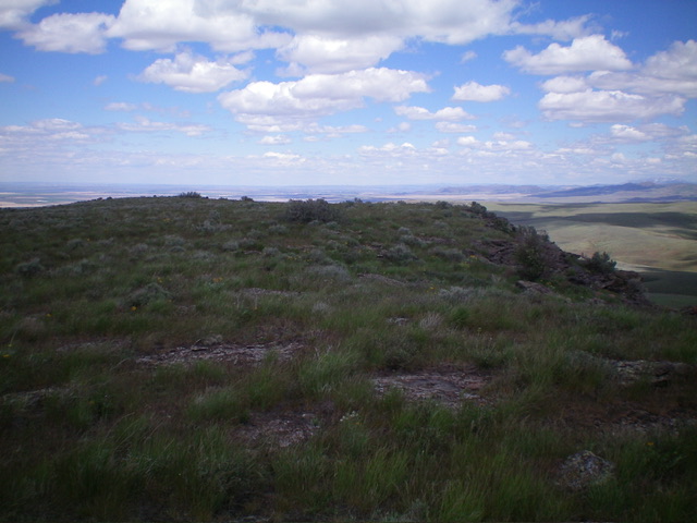
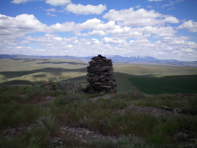
From the service road on the ridge crest, bushwhack east through easy scrub for about 100 yards to the high point and the large summit cairn.
Additional Resources
Regions: Deep Creek Mountains->SOUTHERN IDAHO
Mountain Range: Deep Creek Mountains
Longitude: -112.74922 Latitude: 42.73337


