Elevation: 5,900 ft
Prominence: 280

This peak is not in the book. Published December 2024
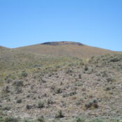
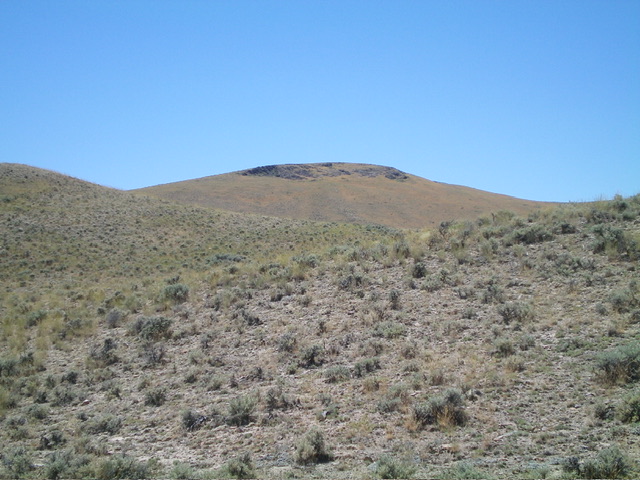
Peak 5900 sits on a ridgeline that separates Dry Gulch from Deer Gulch in the Eastern Salmon River Mountains. It towers above Little Hat Creek to its north. Peak 5900 is most easily climbed from Hat Creek Road to its east. The unranked peak is only slightly surpassed by 40 feet by ranked Peak 5940 to its south-southeast. USGS Ellis
Access
From US-93 at Ellis, drive 0.8 miles north on US-93 to a signed junction for Deer Creek. Turn left/west off US-93 and drive across the bridge over the Salmon River to a “T” junction. Reset your odometer here. Go right/north here onto [unsigned] Hat Creek Road and stay left at an immediate junction (a BLM campground road goes to the right). Follow this narrow, but maintained, BLM road northward as it follows the west side of the Salmon River. Upon reaching Dry Gulch (in open terrain), the road bends left/west (then northwest) to head up Dry Gulch. At 4.2 miles, reach an unsigned junction with an unmapped spur road that heads right/east. Park at this junction (5,255 feet and 44⁰44’51”N, 114⁰03’28”W).
Northeast Spur/East Ridge, Class 2
The Climb
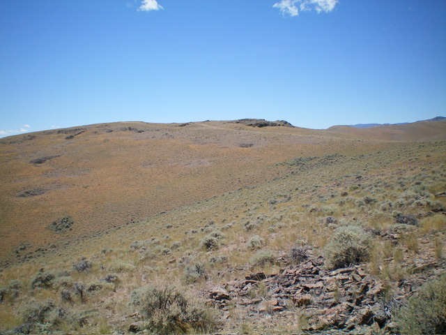
From the road junction, cross to the west side of Hat Creek Road and drop 10 feet to cross a dry creek drainage. Bushwhack west in typical sagebrush to find an old 2-track road (not shown on maps) that climbs the north side of a scrub shoulder. Follow this 2-track briefly then leave it to bushwhack west on the right/north side of that shoulder. Cross a dry gully with a large, round cistern nearby to the right/north (this cistern is a useful navigation aid on the descent). Head southwest up through the sagebrush on the east face to barely skirt the north side of Point 5752.
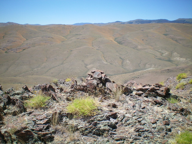
Descend 75 feet to a saddle (heading west). Continue west up reasonable sagebrush to a ridge point. From this point, head left/southwest to skirt the south side of another ridge bump. Reach a high saddle and an old, weak 2-track ridge road. Follow this 2-track left/south up to the summit area and then scramble right/west to the high point. I built a summit cairn on the highest ground boulder
Additional Resources
Regions: Eastern Salmon River Mountains->Salmon River Mountains->Southeast Corner Peaks->WESTERN IDAHO
Mountain Range: Eastern Salmon River Mountains
Longitude: -114.0756 Latitude: 44.7433


