Elevation: 5,929 ft
Prominence: 325

This peak is not in the book. Published December 2024
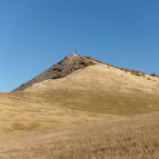
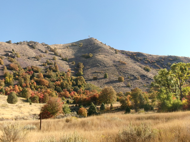
Peak 5929 is an antenna-clad, steep hump that overlooks the south end of Oneida Narrows Reservoir. Pacificorp owns this land and hiking is permitted. The easiest access to Peak 5929 is from Oneida Narrows Road to its southwest. It requires a steep climb in mostly open grass/scrub. USGS Oneida Narrows Reservoir

Peak 5929 and its steep southwest shoulder (dead center). This was my ascent route. Livingston Douglas Photo
Access
From virtual MM29.0 on ID-34, turn right/east onto Hot Springs Road (signed for “Maple Hot Springs”). After 3.0 miles, the road becomes Oneida Narrows Road at a road fork (go right here) at Maple Hot Springs. You can also reach this junction by driving west from ID-36 at virtual MM12.6 at a signed junction with Maple Grove Road. Drive west on Maple Grove Road for 2.1 miles to this road junction at Maple Hot Springs.
From the signed junction at Maple Hot Springs, continue south on Oneida Narrows Road. At 5.4 miles, reach the Maple Grove Campground. At 6.5 miles, reach a roadside pullout across from a picnic area and boat dock (day use area). Park in this pullout, which is just above the intake point for Oneida Narrows Reservoir (4,920 feet and 42⁰16’26”N, 111⁰44’36”W). This is the first leg of a 2-peak adventure that includes Peak 5929 and Peak 5955. It covers 3.0 miles with 1,400 feet of elevation gain round trip.
Southwest Shoulder, Class 2+
The Climb
From the pullout, bushwhack east-northeast the northeast in open, thick field grass (easy) to reach a patch of thick (but not difficult) maples at the base of the southwest shoulder of Peak 5929. This is the shortest route to the antenna-clad summit. Once past the patch of maple trees, grind up a steep, rounded shoulder of scrub and scree/gravel to the top. The summit is a fenced area with a communications tower. The high point is at the southwest corner of the squared fence. There is no summit cairn.
[An easier, less-steep, route is a cattle/use trail that starts at a green cattle gate at the south end of a grassy field and leads up to the easy, open south ridge (the Baugher route linked below).]
Southeast Ridge, Class 2
The Descent
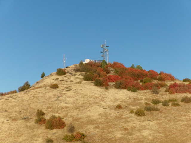
From the summit, follow a 2-track service road (shown on maps) northeast then southeast to a saddle just below a ridge hump. Leave the road and scramble 30 vertical feet up over the grassy hump. Follow the easy, open ridge (mostly grass) southeast then east down to a 5,620-foot connecting saddle with Peak 5955. This concludes the first leg of today’s 2-peak journey. Peak 5955 is up next.

Peak 5929 as viewed from high on the southeast ridge. This was my descent route. Livingston Douglas Photo
Additional Resources
Regions: Bear River Range->SOUTHERN IDAHO
Mountain Range: Bear River Range
Longitude: -111.73613 Latitude: 42.27722
