Elevation: 5,940 ft
Prominence: 320

This peak is not in the book. Published November 2023
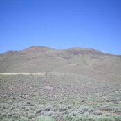
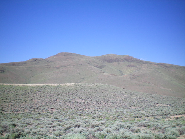
Peak 5940 is a double-humped, sagebrush summit that is an easy scramble from Dry Gulch Road to its east. It is best climbed in combination with nearby Peak 5792 from Hat Creek Road. The south summit (Point 5924) is the actual HP of Peak 5940, not the official/north summit which is 10-15 feet lower. USGS Ellis
Access
Same as for Peak 5792. This is the second leg of a 3-peak adventure that includes Peak 5792, Peak 5940, and Peak 6631 in the Eastern Salmon River Mountains northwest of Ellis. This journey covers 7.5 miles with 3,675 feet of elevation gain round trip.
South Face, Class 2
The Climb
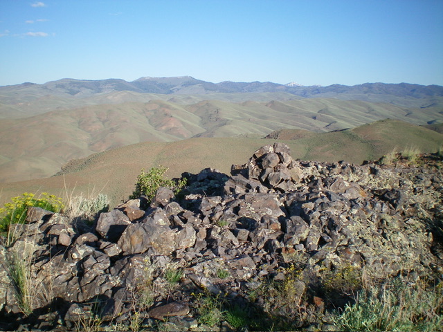
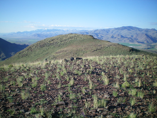
From the dry gully that separates Peak 5792 from Peak 5940, scramble up a reddish-rock shoulder to a rocky outcrop. Skirt the minor outcrop and continue up the easy scrub to reach Point 5924. This is the actual HP of Peak 5940, confirmed both visually and by altimeter. I built a summit cairn here. Continue north to the official/north summit hump, which is 10-15 feet lower in height. There was no summit cairn on the north summit.

The true summit of Peak 5940 (i.e., Point 5924) and its newly-built summit cairn. Livingston Douglas Photo

The true summit hump of Peak 5940 as viewed from the [lower] official north summit. Livingston Douglas Photo
East Face/Shoulder, Class 2
The Descent
From the official/north summit, descend northeast then east then northeast down a weaving shoulder in easy scrub to reach a visible road junction. Cross two dry gullies to get to the road, with a 20-foot climb up out of the first gully and a 35-foot climb up out of the second gully. The sagebrush is a bit thicker in these dry gullies. Walk a short distance east on Dry Gulch Road to reach the unsigned junction with an old 2-track road heading north (shown on maps). This concludes the second leg of today’s 3-peak adventure. Peak 6631 is up next.
Additional Resources
Regions: Eastern Salmon River Mountains->Salmon River Mountains->Southeast Corner Peaks->WESTERN IDAHO
Mountain Range: Eastern Salmon River Mountains
Longitude: -114.0533 Latitude: 44.7253
