Elevation: 5,955 ft
Prominence: 375

This peak is not in the book. Published December 2024
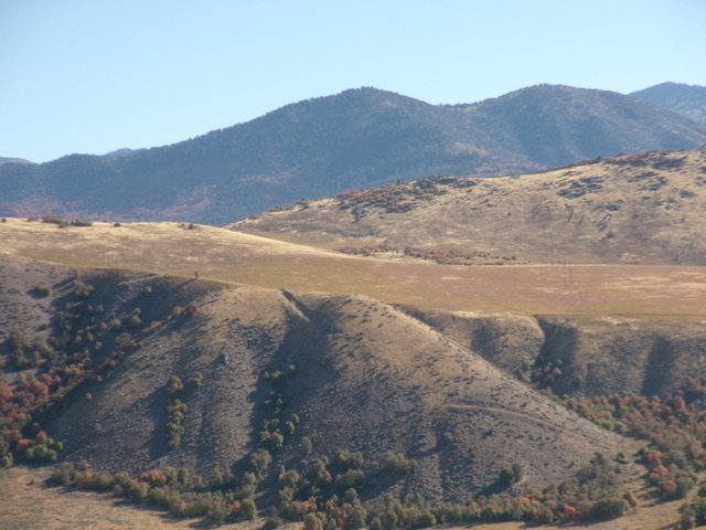
Peak 5955 is a gentle elongated hump that sits above Oneida Narrows Reservoir (to its west) and Strawberry Creek and ID-36 (to its east). This area is mostly private land. Pacificorp owns much of the land near Oneida Narrows Reservoir. Hiking is permitted by Pacificorp. It is unclear whether or not Pacificorp owns the land that covers Peak 5955, but I found no fencing or signage to prohibit entry. USGS Oneida Narrows Reservoir
Access
Same as for Peak 5929. This is the second leg of a 2-peak adventure that includes Peak 5929 and Peak 5955. It covers 3.0 miles with 1,400 feet of elevation gain round trip.
West Face, Class 2
The Climb
From the 5,620-foot connecting saddle with Peak 5929, follow a 2-track powerline service road east briefly and cross under the powerlines. Leave the road as it bends left/north. Contour east across a grassy gully then scramble east-northeast up through grass/scrub and some ground boulders to approach the north ridge of Peak 5955 at a saddle of sorts. The ridge gets rocky and brushy high up, so stay on its west side for the easiest going.
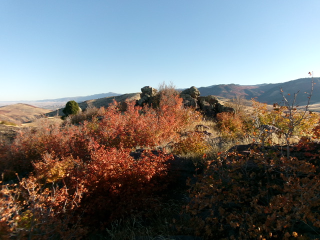
Head right/south from the saddle to reach two rocky high points. The first one (the north summit) is the official high point on the USGS topo map (and LOJ) since it is in the middle of the high point area. The second rocky outcrop (the south summit) is easier boulders and immediately falls off to the south, so it is probably not the official high point. My altimeter (and visuals) have both of these outcrops of equal height, so stand atop both “just to be sure.” There is no summit cairn.
Descent Back to Oneida Narrows Road, Class 2
From the summit, return to the 5,620-foot connecting saddle with Peak 5929. Contour southwest across easy, thick field grass and skirt the south side of a shoulder. From here, you have two options. Option One is to head west across a dry gully and then up over the south ridge of Peak 5929 to descend west directly to Oneida Narrows Road and the day-use area. Option Two is to continue southwest down a grassy slope then into a narrow gully and a rugged, 2-track road (not shown on maps). I chose the latter.
Bushwhack southwest across easy field grass to reach a steep slope/shoulder that leads into a narrow, dry gully with powerlines in it. Carefully descend steep grass and loose scree to reach the maple-clad gully and find an old cattle trail to get through the thick patch of forest. There are some open, grassy patches in the forest on the left/east side of the dry gully. Reach an old 2-track road and follow it down to open grassy fields. Leave the road and head right/northwest to descend diagonally back to Oneida Narrows Road and the day-use area and roadside pullout.
Additional Resources
Regions: Bear River Range->SOUTHERN IDAHO
Mountain Range: Bear River Range
Longitude: -111.7204 Latitude: 42.2728

