Elevation: 6,021 ft
Prominence: 401

This peak is not in the book. Erik Pohlmann and Livingston Douglas contributed the information found below.
This peak can be climbed as part of a three-peak ridge traverse that includes Peak 5913 (Cayuse Peak), Peak 5780 (Mennecke Peak), and Peak 6021 (Teetors Peak) found at this link: Cayuse-Mennecke–Teetors Traverse by Livingston Douglas
Additional Danskin Mountains access information can be found in the book [(D)(1) on Pages 154-5 and (G)(1) on Page 156]. Also see the following website page: Danskin Mountains OHV Trails.
Updated December 2019
Overview by Erik Pohlmann
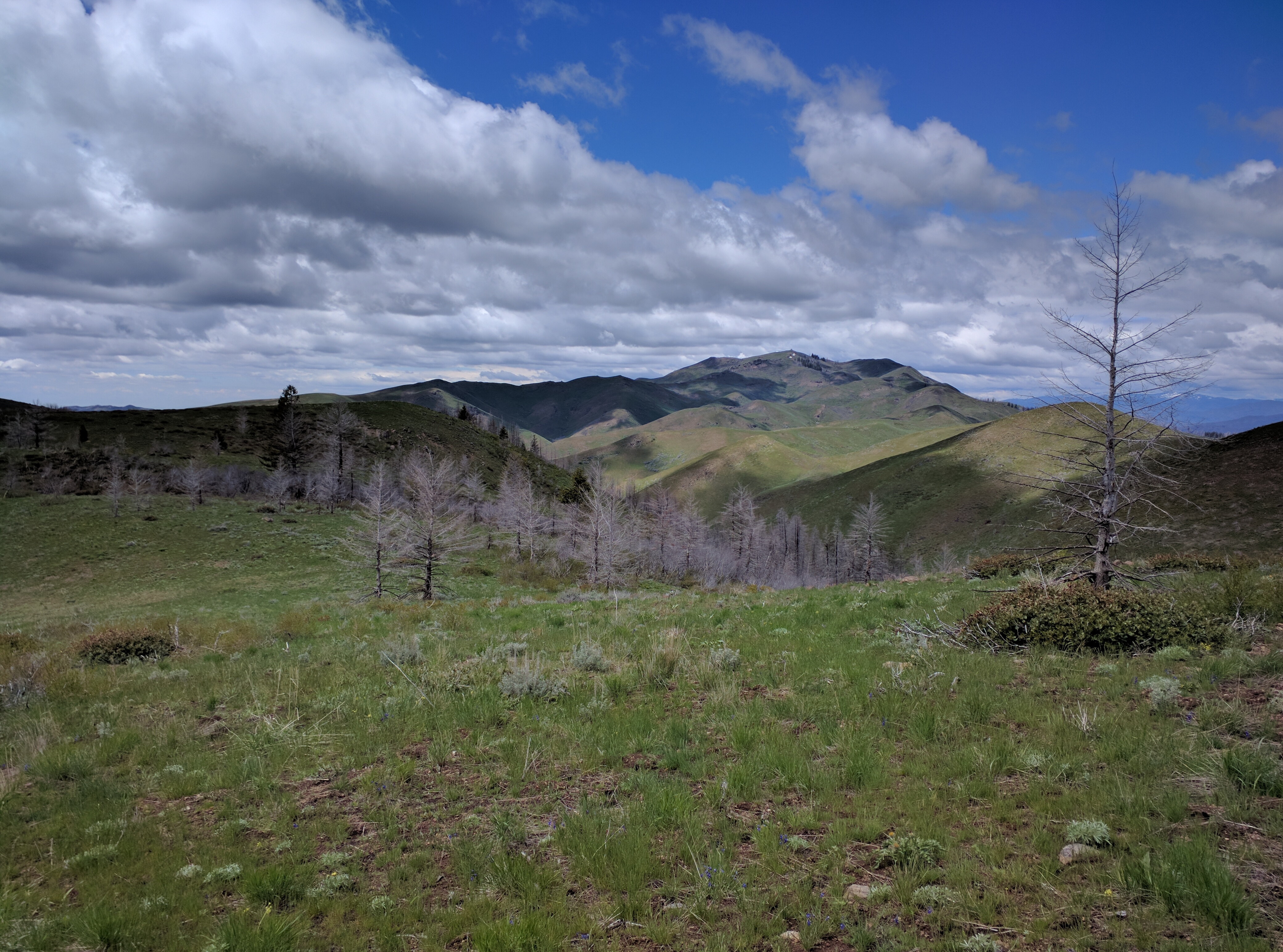
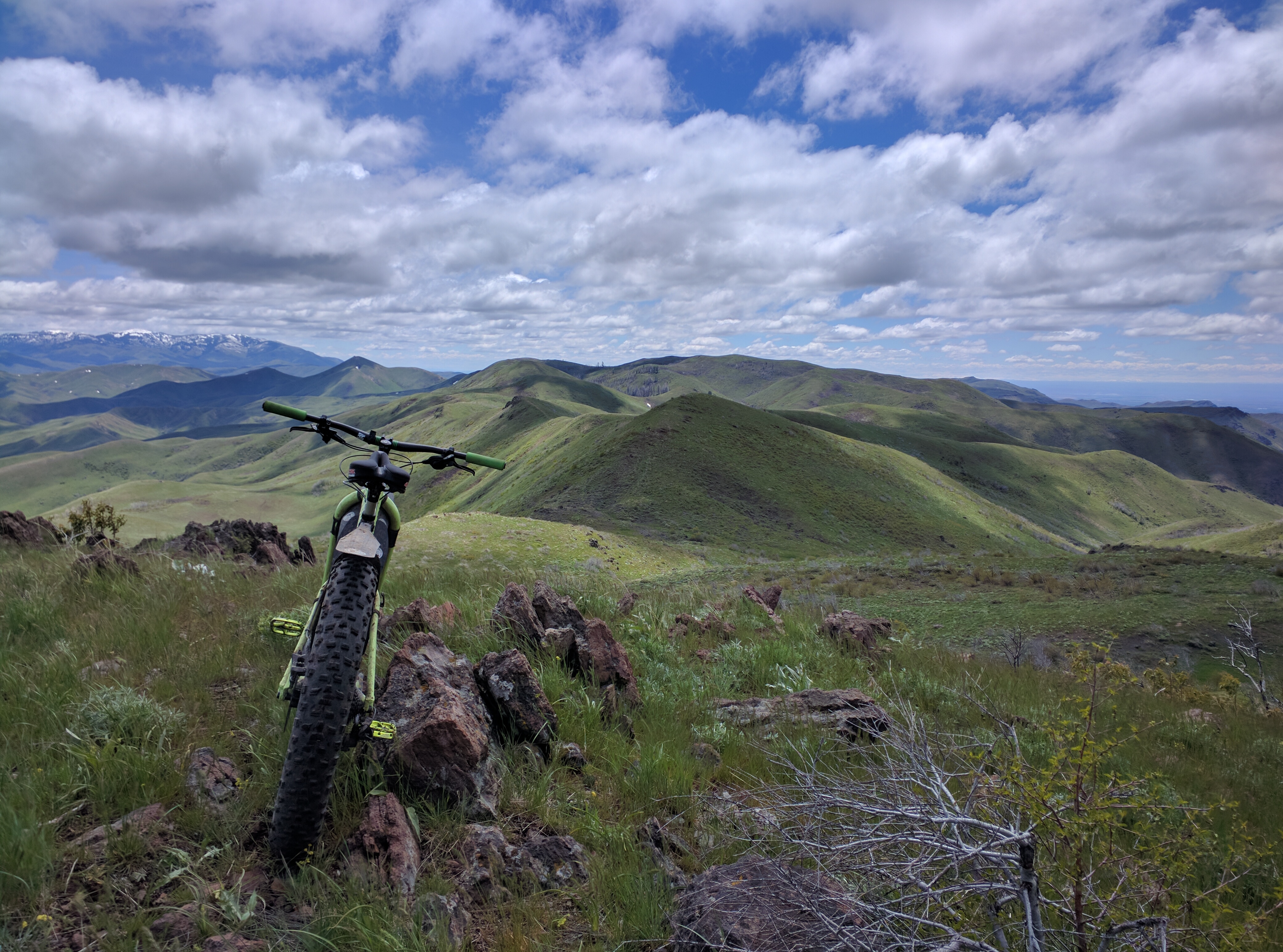
Teetors Peak is located just west of the main Danskin Crest, southeast of Danskin Peak. It is one of three Danskin peaks to reach above 6,000 feet and the 3rd-highest in the range. It is broad and massive by Danskin Mountains standards. It is offset just west of the beautiful Danskin Southeast Ridge Main Crest. Unfortunately, because it is so broad and just off the main crest, the views are not as good as on nearby, but smaller, Mennecke Peak. The north slopes of Teetors Peak used to be dotted with pine trees but have since been burned with fire. USGS Syrup Creek
Southeast Ridge, Class 2 by Livingston Douglas
Access
Park along the Pony Creek/Prairie Road [(E)(1) on Page 155] near the unsigned junction with Long Tom Ranch Road. This junction is located 7.4 miles up Prairie Road from US-20. Long Tom Ranch Road is so overgrown and disused that it is easy to miss this junction. The elevation here is 4,780 feet.
The Climb
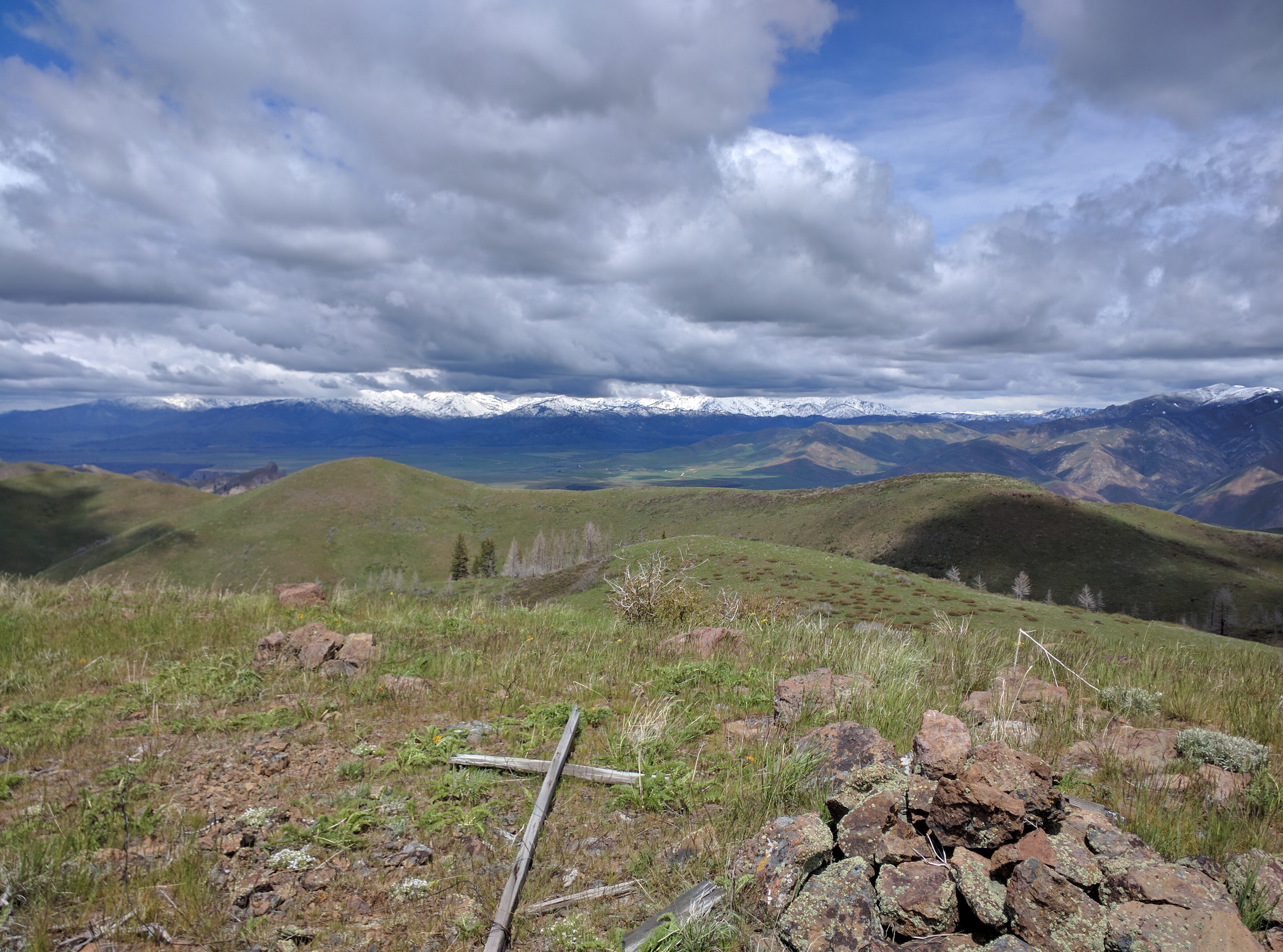
From the connecting saddle between Mennecke Peak and Teetors Peak, climb northwest up a steep face of short scrub and loose scree/gravel. You will soon emerge on the curved south ridge of the east summit of Teetors Peak. Head north then northwest on this tedious ridge through thicker scrub to reach the east summit. Descend west to a saddle then cross an old, dilapidated cattle fence to then bash your way southwest up a slope of thick willows and aspens. You will emerge at the east end of the summit area. From here, scramble west then northwest another ¼ mile over two more false summits to reach the true summit of Peak 6021/Teetors Peak. The summit high point has a triangulation post and some wiring laying on the ground along with a torn-down summit cairn.
Additional Resources
Regions: Boise Mountains->Danskin Mountains->WESTERN IDAHO
Mountain Range: Boise Mountains
Longitude: -115.63129 Latitude: 43.37319


