Elevation: 6,062 ft
Prominence: 282

This peak is not in the book. Published January 2023
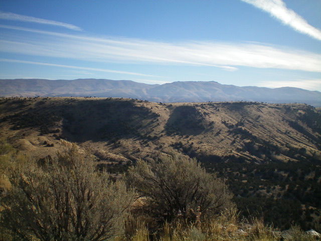
Peak 6062 is the high point of a long ridgeline that sits on the east side of Coal Banks Creek in the South Hills. It is most easily climbed from Coal Banks Creek Road/FSR-681 to its south. Peak 6062 is a minor hump at the north end of this long ridgeline. USGS Blue Hill
Access
Same as for Peak 6073. This is the second leg of a 2-peak adventure that includes Peak 6073 and Peak 6062.
West Face, Class 2
The Climb
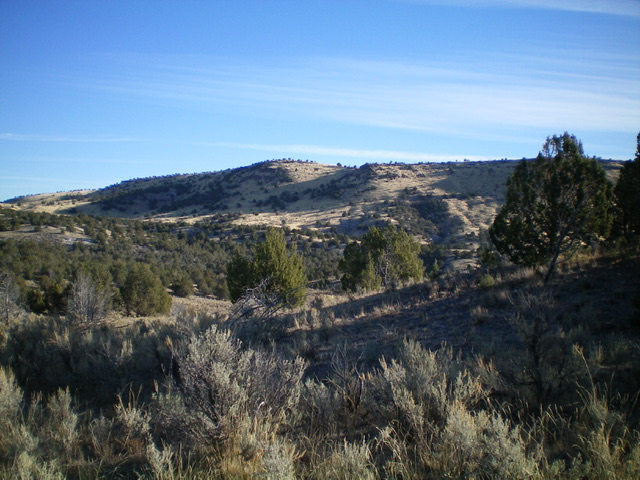
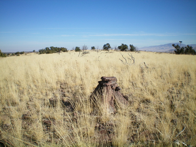
From the 5,780-foot connecting saddle with Peak 6073, scramble east-southeast up an easy scrub slope to reach the long, grassy summit plateau. Head right/south to the elusive high point, which is barely higher than the ridge area north of it. According to the USGS topo map, the high point is at the south end of the ridge hump and I believe that to be accurate according to my altimeter and visual observation. I built a nice summit cairn there in the open, grassy terrain.
Southeast Ridge/South Face, Class 2
The Descent
From the summit, descend southeast to a saddle in easy grass/scrub. Continue southeast on the wide ridge up over a ridge hump (which measures of equal height to the official summit). From that ridge hump, head southeast along the right/west edge of the ridge in easy grass and scrub to approach a saddle. This saddle is an ugly prospect. It is clogged with trees and brush on its right/south side. Leave the ridge before reaching the saddle and descend off the ridge through a Class 2 notch in the cliff band that guards the ridge crest. From the base of the cliff band, head straight southwest down the steep slope of grass, sand, loose scree, and scattered junipers to reach Coal Banks Creek Road. Cross a deep, dry creek drainage to finally reach the road. Follow the road back down to the parking area and your awaiting vehicle.

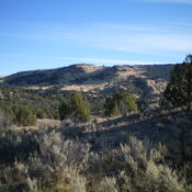
Peak 6062 (summit is just left of center) as viewed from Peak 6073 to its west. Livingston Douglas Photo
Additional Resources
Regions: South Hills->SOUTHERN IDAHO
Mountain Range: South Hills
Longitude: -113.9873 Latitude: 42.0802

