Elevation: 6,081 ft
Prominence: 421
This peak is not in the book. Published November 2020
Peak 6081 is a gentle scrub hump located on the east side of Cow Canyon. Its west side is an easy scramble from Cow Canyon Road. Finding a place to park turned out to be the most challenging part of this climb. I suppose it is only appropriate that the best parking place is a cattle cistern and some of the climb is on cattle trails. After all, this is “Cow Canyon.” USGS Badger Hole Spring
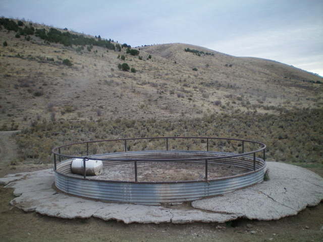
Peak 6081 (center hump) as viewed from the cattle cistern parking area. Livingston Douglas Photo
Access
From the [signed] junction of Meadow Brook Road/BLM-027 at ID-37, drive 6.7 miles southwest then west to a [signed] junction with Cow Canyon Road/BLM-603. Turn left/south onto Cow Canyon Road and drive 0.7 miles south to a side road (right/west turn) that leads to a large cistern. Drive a short distance on this side road to the cistern and park (5,550 feet). There are no pullouts along BLM-603 for the first 1.5 miles, so this is your best option.
West Shoulder, Class 2
The Climb
From the parking area at the cistern, walk back to Cow Canyon Road and follow it for about 75 yards south to find a cattle trail that heads diagonally left/southeast toward a dry gully that lies between here and the [obvious] west shoulder of Peak 6081. Follow the cattle trail southeast to a dry gully. Leave it and bushwhack south through easy sagebrush to reach the west shoulder. Scramble up the west shoulder to the gentle summit cap. Head east for a short distance to the high point. The terrain on the west shoulder is a mixture of field grass and scattered junipers and brush. The summit cap is field grass and short scrub.
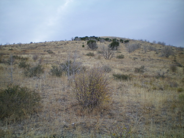
Looking up the west shoulder of Peak 6081. The summit is in dead center but isn’t quite visible yet. Livingston Douglas Photo
Additional Resources
Regions: SOUTHERN IDAHO->Sublett Range
Mountain Range: Sublett Range
Longitude: -112.81879 Latitude: 42.14739