Elevation: 6,243 ft
Prominence: 314

This peak is not in the book. The map elevation is 6,237 feet. Published December 2024
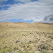
Peak 6243 is a newly-ranked summit that sits on a high ridgeline on the west side of Deer Gulch in the Eastern Salmon River Mountains. It is most easily climbed from a 2-track jeep road that heads up Deer Gulch. USGS Ellis
Access
From US-93 at Ellis, drive 0.8 miles north on US-93 to a signed junction for Deer Creek. Turn left/west off US-93 and drive across the bridge over the Salmon River to a “T” junction. Go left/south here onto an unsigned BLM road. Reset your odometer at this unsigned junction. At 0.1 miles, go right at an unsigned junction. At 0.6 miles, reach an unsigned road junction with an unmapped, steep ATV track that heads right/northwest up a shoulder to intercept the Deer Gulch Jeep Road at a sharp bend. Park in a pullout at the base of this ATV track (4,705 feet and 44⁰42’01”N, 114⁰03’15”W).
East Shoulder, Class 2
The Climb
From the roadside pullout, hike northwest up the steep ATV track to reach the Deer Gulch Jeep Road. Follow this rugged 2-track road north then northwest then north-northwest up Deer Gulch. The road drops 60 vertical feet early on to get into Deer Gulch. Leave Deer Gulch Jeep Road at about 5,360 feet and scramble left/west up scrub onto a minor southeast-northwest ridge. Follow this ridge of easy scrub northwest to a junction with the wide, obvious east shoulder at the top (north) end of a prominent gully.
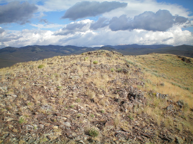
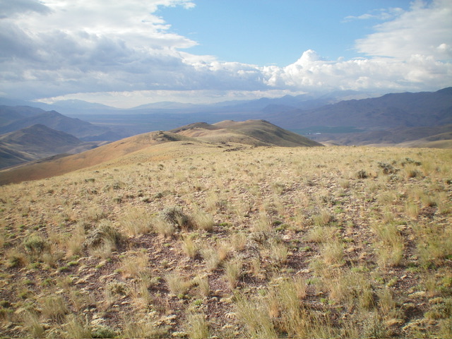
Scramble west then southwest up through annoying sagebrush to reach a right/northwest bend in the shoulder. Follow this scrub section up to the rocky summit ridge. Head right/north to the two minor ridge humps that vie for the high point of Peak 6243. The northern one seems to be slightly higher than the southern one. I built a cairn on the north summit hump. The ridge points to the southeast of the summit hump are more impressive looking but are lower in height.
There are multiple ridges/shoulders on the east face of Peak 6243 but my route seems to be the most direct route from Deer Gulch. With a Jeep/ATV/MC, you could drive/ride to my departure point in Deer Gulch if you have 4WD and good tires. This would cut down substantially on the mileage required to do this climb.
Additional Resources
Regions: Eastern Salmon River Mountains->Salmon River Mountains->Southeast Corner Peaks->WESTERN IDAHO
Mountain Range: Eastern Salmon River Mountains
Longitude: -114.10497 Latitude: 44.74181


