Elevation: 6,368 ft
Prominence: 788

This peak is not in the book. Published January 2023
Peak 6368 towers over Lava Lake to its southeast. The peak’s rugged south ridge extends down to US-20 just west of the lake. The easiest ascent route follows a 2-track road to the base of the west face. This is the first leg of a 2-peak adventure that includes Peak 6368 and Peak 6667. USGS Blizzard Mountain South

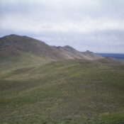
Peak 6368 (at far left) and its long, choppy south ridge as viewed from the northwest. Livingston Douglas Photo
Access
There is an unsigned 2-track jeep road that leaves US-20 exactly 5.5 miles east of Fish Creek Road and 0.3 miles west of a roadside pullout alongside Lava Lake. Drive north up the 2-track road for 0.1 miles and park in a small pullout at a cattle gate/fence (5,150 feet) or continue another 0.7 miles to a flat meadow or drive all the way to the 5,560-foot saddle at the base of the west face of Peak 6368 (about 2.3 miles from US-20). A 4WD is recommended.
West Face, Class 2
The Climb
Hike (or drive) up to the 5,560-foot saddle. This saddle connects Peak 6368 and Peak 6667. From the saddle, scramble east up a steep, grassy face/ramp on the right/south side of the west face, aiming to reach the summit ridge just right/south of a prominent row of rocks/boulders on the ridge. As you gain altitude, the terrain becomes rockier with talus/scree high up. Once up on the southwest ridge, follow the ridge left/northeast up over a rocky ridge point to the summit. The ridge crest is an easy scramble. Descend back to the 5,560-foot connecting saddle. Peak 6667 is up next.

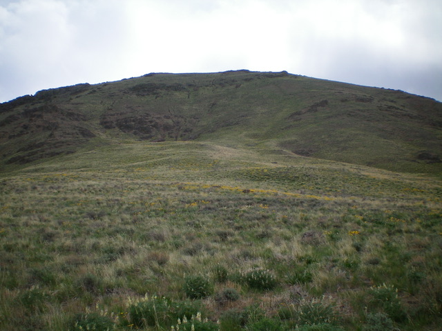
The west face of Peak 6368 as viewed from the connecting saddle. The ascent route follows a grassy, steep ramp/face (just right of center) to reach the summit ridge. Livingston Douglas Photo

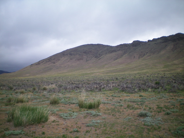
The southwest side of Peak 6368, with its choppy south ridge on the right skyline. Livingston Douglas Photo
Additional Resources
Regions: EASTERN IDAHO->Pioneer Mountains
Mountain Range: Pioneer Mountains
Longitude: -113.73759 Latitude: 43.40281