Elevation: 6,410 ft
Prominence: 354
This peak is not in the book. Published November 2020
Buck Peak is sandwiched between ID-37 and Colson Canyon in the Deep Creek Mountains. It is most easily climbed via Sagehen Springs Road and its south ridge. There is a cell phone tower installation near, but not on, the summit. This area is a mix of private and public land so be careful. The south ridge is entirely on public land and is a fun scramble. USGS Roy
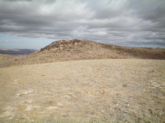
Buck Peak’s hidden, rocky summit (left of center) only comes into view when atop Point 6373 to its south. Livingston Douglas Photo
Access
Sagehen Springs Road is located along ID-37 exactly 2.1 miles south of [signed] Kress-Hansen Road. Drive east on Sagehen Springs Road for 0.5 miles to a cattle guard crossing. Park alongside the road here (5,635 feet).
South Ridge, Class 2
The Climb
From Sagehen Springs Road, follow the left/west side of a fence row on a cattle trail. When the fence ends at a rocky ridge section, scramble up a combination of embedded boulders, scree/gravel, scrub, and scattered junipers. This rocky section is rather easy. Stay to the right/east of a thicker juniper forest. Higher up, follow a use trail and climb over two gentle humps on the ridge. There is a cell phone tower on a lower hump that is left/west of the south ridge. The summit is a narrow, rocky ridge crest that includes a rock shelter and a small summit cairn.
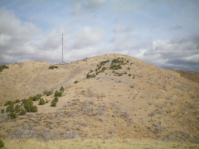
The upper section of the south ridge of Buck Peak. Notice the cell phone tower (left) and the gentle hump of Point 6373 (center). The summit is not yet visible. Livingston Douglas Photo
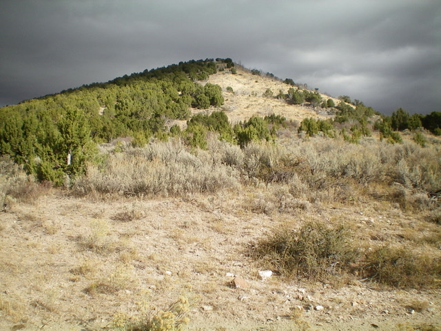
The view of the south ridge of Buck Peak from its base at Sagehen Springs Road. Stay to the right/east of the juniper forest. Livingston Douglas Photo
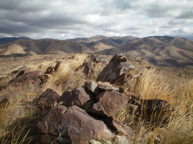
The summit boulders atop Buck Peak. Livingston Douglas Photo
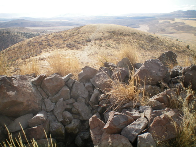
The rock shelter atop Buck Peak, looking down the south ridge. Livingston Douglas Photo
Additional Resources
Regions: Deep Creek Mountains->SOUTHERN IDAHO
Mountain Range: Deep Creek Mountains
Longitude: -112.79909 Latitude: 42.34101